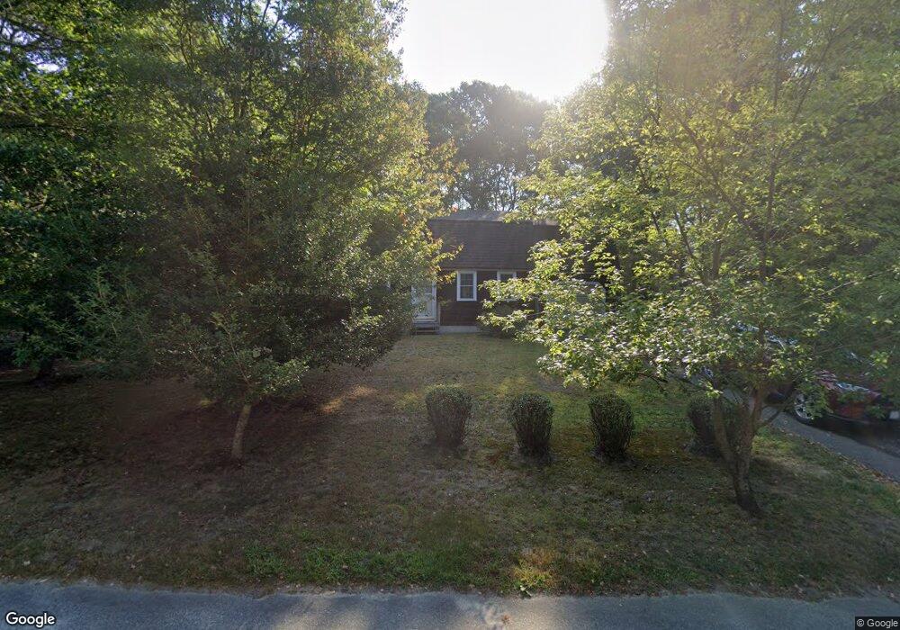
578 Skunknet Rd Centerville, MA 02632
Centerville NeighborhoodEstimated Value: $549,000 - $600,000
2
Beds
2
Baths
1,201
Sq Ft
$488/Sq Ft
Est. Value
About This Home
This home is located at 578 Skunknet Rd, Centerville, MA 02632 and is currently estimated at $585,662, approximately $487 per square foot. 578 Skunknet Rd is a home located in Barnstable County with nearby schools including Barnstable United Elementary School, Centerville Elementary School, and Barnstable Intermediate School.
Ownership History
Date
Name
Owned For
Owner Type
Purchase Details
Closed on
Dec 10, 2003
Sold by
Roberts William R Est
Bought by
Macaulay Donald C
Current Estimated Value
Home Financials for this Owner
Home Financials are based on the most recent Mortgage that was taken out on this home.
Original Mortgage
$165,000
Outstanding Balance
$76,565
Interest Rate
5.9%
Mortgage Type
Purchase Money Mortgage
Estimated Equity
$509,097
Purchase Details
Closed on
Jun 1, 1988
Sold by
Ferkler Charles L
Bought by
Roberts William
Create a Home Valuation Report for This Property
The Home Valuation Report is an in-depth analysis detailing your home's value as well as a comparison with similar homes in the area
Home Values in the Area
Average Home Value in this Area
Purchase History
| Date | Buyer | Sale Price | Title Company |
|---|---|---|---|
| Macaulay Donald C | $260,000 | -- | |
| Roberts William | $126,500 | -- |
Source: Public Records
Mortgage History
| Date | Status | Borrower | Loan Amount |
|---|---|---|---|
| Open | Roberts William | $165,000 |
Source: Public Records
Tax History Compared to Growth
Tax History
| Year | Tax Paid | Tax Assessment Tax Assessment Total Assessment is a certain percentage of the fair market value that is determined by local assessors to be the total taxable value of land and additions on the property. | Land | Improvement |
|---|---|---|---|---|
| 2025 | $4,040 | $499,400 | $151,900 | $347,500 |
| 2024 | $3,733 | $478,000 | $151,900 | $326,100 |
| 2023 | $3,475 | $416,700 | $138,100 | $278,600 |
| 2022 | $3,237 | $335,800 | $102,300 | $233,500 |
| 2021 | $3,414 | $325,500 | $102,300 | $223,200 |
| 2020 | $3,265 | $297,900 | $102,300 | $195,600 |
| 2019 | $3,317 | $294,100 | $102,300 | $191,800 |
| 2018 | $2,979 | $265,500 | $107,700 | $157,800 |
| 2017 | $2,845 | $264,400 | $107,700 | $156,700 |
| 2016 | $2,891 | $265,200 | $108,500 | $156,700 |
| 2015 | $2,735 | $252,100 | $105,100 | $147,000 |
Source: Public Records
Map
Nearby Homes
- 16 Bridgets Path
- 205 James Otis Rd
- 21 Shannon Way
- 81 Monomoy Cir
- 53 Meadow Farm Rd
- 52 Meadow Farm Rd
- 315 Prince Hinckley Rd
- 149 Old Stage Rd
- 296 Buckskin Path
- 7 Ebenezer
- 44 Avalon Cir
- 139 Falling Leaf Ln
- 900 Old Stage Rd
- 81 Falling Leaf Ln
- 87 Foxglove Rd
- 436 S Main St
- 435 Old Mill Rd
- 40 Sachem Dr
- 156 S Main St
- 30 Deerfield Rd
- 568 Skunknet Rd
- 584 Skunknet Rd
- 592 Skunknet Rd
- 586 Skunknet Rd
- 562 Skunknet Rd
- 579 Skunknet Rd
- 569 Skunknet Rd
- 589 Skunknet Rd
- 602 Skunknet Rd
- 608 Skunknet Rd
- 554 Skunknet Rd
- 559 Skunknet Rd
- 560 Skunknet Rd
- 603 Skunknet Rd
- 32 Natka Dr
- 20 Natka Dr
- 542 Skunknet Rd
- 536 Skunknet Rd
- 42 Natka Dr
- 610 Skunknet Rd