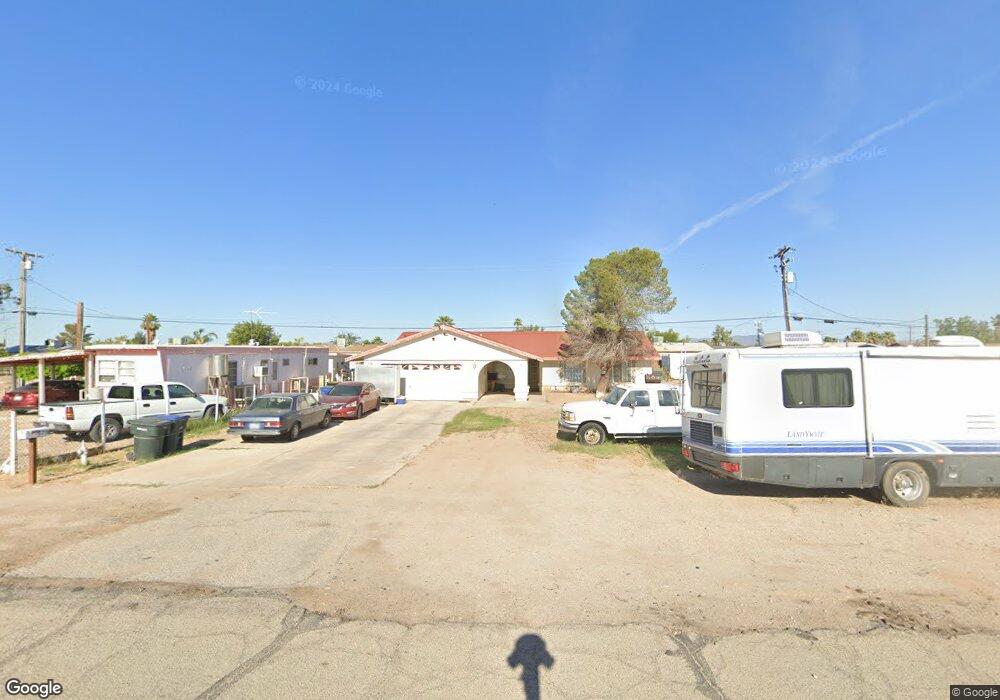
579 Williams Rd Blythe, CA 92225
Estimated Value: $164,000 - $285,000
3
Beds
2
Baths
1,532
Sq Ft
$150/Sq Ft
Est. Value
About This Home
This home is located at 579 Williams Rd, Blythe, CA 92225 and is currently estimated at $230,265, approximately $150 per square foot. 579 Williams Rd is a home located in Riverside County with nearby schools including Palo Verde High School and Scale Leadership Academy - East.
Ownership History
Date
Name
Owned For
Owner Type
Purchase Details
Closed on
Oct 10, 2023
Sold by
Palo Verde Irrigation District
Bought by
Palo Verde Irrigation District
Current Estimated Value
Purchase Details
Closed on
Jul 15, 2022
Sold by
Howard Anderson
Bought by
Palo Verde Irrigation District
Purchase Details
Closed on
Jul 23, 2021
Sold by
Howard Anderson
Bought by
Palo Verde Irrigation District
Purchase Details
Closed on
Feb 17, 2009
Sold by
Anderson Howard and Anderson Marian D
Bought by
Anderson Howard and Anderson Marian D
Home Financials for this Owner
Home Financials are based on the most recent Mortgage that was taken out on this home.
Original Mortgage
$280,500
Outstanding Balance
$153,416
Interest Rate
2.69%
Mortgage Type
Reverse Mortgage Home Equity Conversion Mortgage
Estimated Equity
$76,849
Purchase Details
Closed on
Nov 28, 2008
Sold by
Mack Alonzo and Mack Seritha D
Bought by
Anderson Howard and Anderson Marion D
Create a Home Valuation Report for This Property
The Home Valuation Report is an in-depth analysis detailing your home's value as well as a comparison with similar homes in the area
Home Values in the Area
Average Home Value in this Area
Purchase History
| Date | Buyer | Sale Price | Title Company |
|---|---|---|---|
| Palo Verde Irrigation District | -- | -- | |
| Palo Verde Irrigation District | -- | -- | |
| Palo Verde Irrigation District | -- | -- | |
| Anderson Howard | -- | Orange Coast Title | |
| Anderson Howard | -- | Orange Coast Title |
Source: Public Records
Mortgage History
| Date | Status | Borrower | Loan Amount |
|---|---|---|---|
| Open | Anderson Howard | $280,500 |
Source: Public Records
Tax History
| Year | Tax Paid | Tax Assessment Tax Assessment Total Assessment is a certain percentage of the fair market value that is determined by local assessors to be the total taxable value of land and additions on the property. | Land | Improvement |
|---|---|---|---|---|
| 2025 | $1,462 | $141,630 | $38,620 | $103,010 |
| 2023 | $1,462 | $136,132 | $37,121 | $99,011 |
| 2022 | $1,400 | $133,464 | $36,394 | $97,070 |
| 2021 | $1,362 | $130,848 | $35,681 | $95,167 |
| 2020 | $1,347 | $129,508 | $35,316 | $94,192 |
| 2019 | $1,334 | $126,970 | $34,624 | $92,346 |
| 2018 | $1,319 | $124,482 | $33,946 | $90,536 |
| 2017 | $1,292 | $122,042 | $33,281 | $88,761 |
| 2016 | $1,279 | $119,650 | $32,629 | $87,021 |
| 2015 | $1,266 | $117,855 | $32,140 | $85,715 |
| 2014 | $1,011 | $96,000 | $26,000 | $70,000 |
Source: Public Records
Map
Nearby Homes
- 1502 E 14th Ave
- 490 S 4th St
- 175 S 5th St
- 0 S Broadway
- 1367 E Hobsonway
- 168 Acacia Ave
- 951 E Avenue A
- 178 Acacia Ave
- 184 N Acacia St
- 310 S 1st St
- 927 E Murphy St
- 934 E Avenue B
- 256 N Acacia Ave
- 1.10 Acres E Donlon St
- 975 E Avenue B
- 1.22 Acres E Donlon St
- 1.18 Acres E Donlon St
- 1.01 Acres E Donlon St
- 1.17 Acres E Donlon St
- 301 N Sola Ave
Your Personal Tour Guide
Ask me questions while you tour the home.