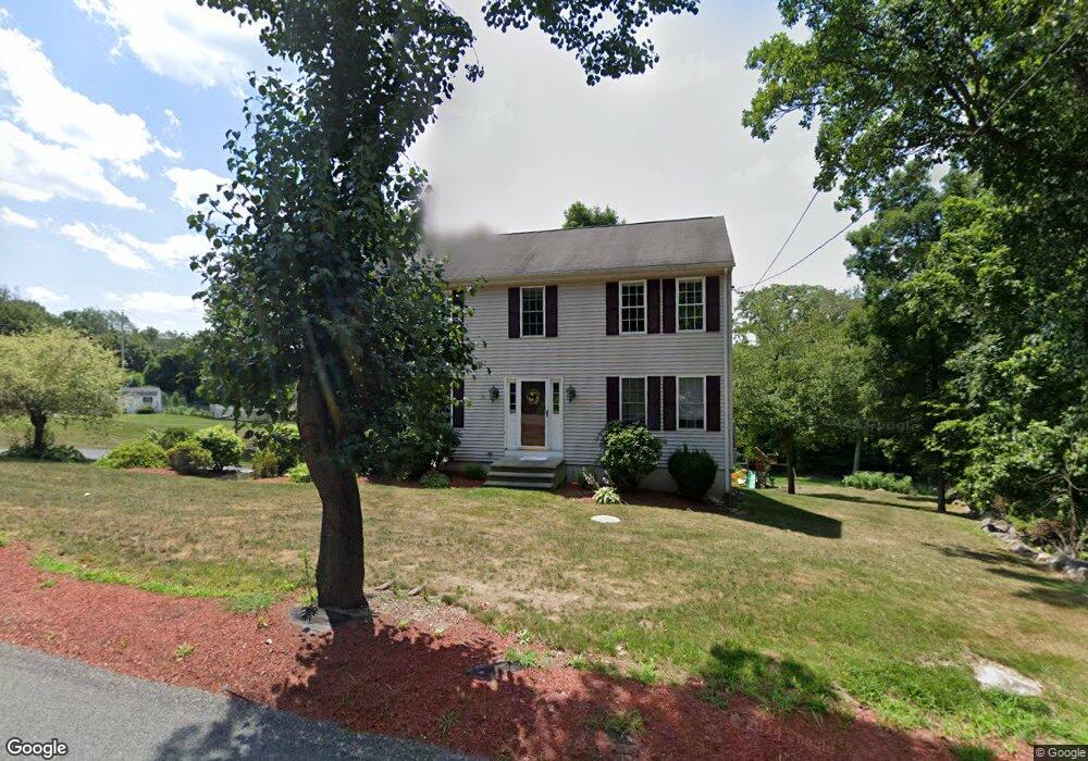
58 Asylum St Milford, MA 01757
Estimated Value: $713,000 - $734,000
4
Beds
3
Baths
2,304
Sq Ft
$314/Sq Ft
Est. Value
About This Home
This home is located at 58 Asylum St, Milford, MA 01757 and is currently estimated at $723,575, approximately $314 per square foot. 58 Asylum St is a home located in Worcester County with nearby schools including Milford High School.
Ownership History
Date
Name
Owned For
Owner Type
Purchase Details
Closed on
May 14, 2010
Sold by
Hedvig Maureen T
Bought by
Tsantakis Konstantinos and Tsantakis Catherine
Current Estimated Value
Home Financials for this Owner
Home Financials are based on the most recent Mortgage that was taken out on this home.
Original Mortgage
$264,000
Outstanding Balance
$174,328
Interest Rate
4.75%
Mortgage Type
FHA
Estimated Equity
$549,247
Purchase Details
Closed on
May 22, 1998
Sold by
Rosewood Dev Llp and Grant Robert P
Bought by
Hedvig Maureen T
Create a Home Valuation Report for This Property
The Home Valuation Report is an in-depth analysis detailing your home's value as well as a comparison with similar homes in the area
Home Values in the Area
Average Home Value in this Area
Purchase History
| Date | Buyer | Sale Price | Title Company |
|---|---|---|---|
| Tsantakis Konstantinos | $330,000 | -- | |
| Hedvig Maureen T | $222,500 | -- |
Source: Public Records
Mortgage History
| Date | Status | Borrower | Loan Amount |
|---|---|---|---|
| Open | Tsantakis Konstantinos | $264,000 |
Source: Public Records
Tax History Compared to Growth
Tax History
| Year | Tax Paid | Tax Assessment Tax Assessment Total Assessment is a certain percentage of the fair market value that is determined by local assessors to be the total taxable value of land and additions on the property. | Land | Improvement |
|---|---|---|---|---|
| 2025 | $7,995 | $624,600 | $218,000 | $406,600 |
| 2024 | $7,900 | $594,400 | $209,300 | $385,100 |
| 2023 | $7,430 | $514,200 | $181,000 | $333,200 |
| 2022 | $6,992 | $454,300 | $165,700 | $288,600 |
| 2021 | $6,688 | $418,500 | $165,700 | $252,800 |
| 2020 | $6,606 | $413,900 | $165,700 | $248,200 |
| 2019 | $6,456 | $390,300 | $165,700 | $224,600 |
| 2018 | $6,392 | $386,000 | $161,400 | $224,600 |
| 2017 | $6,184 | $368,300 | $161,400 | $206,900 |
| 2016 | $6,082 | $354,000 | $161,400 | $192,600 |
| 2015 | $5,923 | $337,500 | $152,700 | $184,800 |
Source: Public Records
Map
Nearby Homes
- 14 C Country Club Ln
- 33 Country Club Ln Unit D
- 14 Country Club Ln Unit C
- 94 Highland St
- 5 Stanford Cir
- 8 Country Club Ln Unit B
- 0 West St
- 8 Vassar Dr
- 9 Hancock St
- 20 Senate Rd
- 76 Jones Rd
- 130 Dutcher St
- 15 Tammie Rd
- 175 West St
- 8 Colonial Rd
- 1 Godfrey Ln Unit 1
- 104 Jones Rd
- 101 Jones Rd Unit 101
- 7 Highland St
- 62 Field Pond Rd