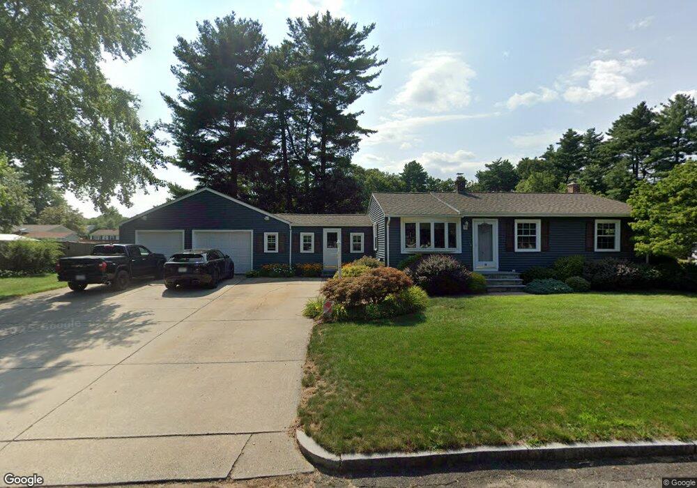
58 Bamforth Rd Springfield, MA 01128
Sixteen Acres NeighborhoodEstimated Value: $325,591 - $344,000
About This Home
This home is located at 58 Bamforth Rd, Springfield, MA 01128 and is currently estimated at $333,898, approximately $337 per square foot. 58 Bamforth Rd is a home located in Hampden County with nearby schools including Daniel B Brunton, M Marcus Kiley Middle, and Springfield High School of Science and Technology.
Ownership History
We collect this data history from publicly available records. To have your information removed, we recommend requesting removal directly through your county’s website.
Purchase Details
Home Financials for this Owner
Home Financials are based on the most recent Mortgage that was taken out on this home.Home Values in the Area
Average Home Value in this Area
Purchase History
We collect this data history from publicly available records. To have your information removed, we recommend requesting removal directly through your county’s website.
| Date | Buyer | Sale Price | Title Company |
|---|---|---|---|
| $95,000 | -- |
Mortgage History
We collect this data history from publicly available records. To have your information removed, we recommend requesting removal directly through your county’s website.
| Date | Status | Borrower | Loan Amount |
|---|---|---|---|
| Open | $10,000 | ||
| Closed | $90,250 |
Tax History
We collect this data history from publicly available records. To have your information removed, we recommend requesting removal directly through your county’s website.
| Year | Tax Paid | Tax Assessment Tax Assessment Total Assessment is a certain percentage of the fair market value that is determined by local assessors to be the total taxable value of land and additions on the property. | Land | Improvement |
|---|---|---|---|---|
| 2025 | $5,323 | $339,500 | $62,800 | $276,700 |
| 2024 | $4,786 | $298,000 | $62,800 | $235,200 |
| 2023 | $4,815 | $282,400 | $59,800 | $222,600 |
| 2022 | $4,777 | $253,800 | $62,900 | $190,900 |
| 2021 | $4,149 | $219,500 | $57,200 | $162,300 |
| 2020 | $3,972 | $203,400 | $57,200 | $146,200 |
| 2019 | $3,879 | $197,100 | $57,200 | $139,900 |
| 2018 | $3,749 | $190,500 | $57,200 | $133,300 |
| 2017 | $3,525 | $179,300 | $57,200 | $122,100 |
| 2016 | $3,421 | $174,000 | $57,200 | $116,800 |
| 2015 | $3,350 | $170,300 | $57,200 | $113,100 |
Map
- 83 Druid Hill Rd
- 64 Rochford Cir
- 11 Butternut St
- 46 Rochford Cir
- 31 Acrebrook Rd
- 39 Bartels St
- 65 Brookside Cir
- 1542 S Branch Pkwy
- 35 Tioga St
- 2163 Wilbraham Rd
- 51 Briarcliff St
- 103 Oak Hollow Rd
- 2306 Wilbraham Rd
- 64 Senator St
- 87 Squire Ln
- 2035 Parker St
- 86 Peekskill Ave
- 68 Deepfield Rd
- 2055 Allen St
- 20 Fallston St
- 59 Bamforth Rd
- 111 Berard Cir
- 181 Berard Cir
- 98 Berard Cir
- 106 Berard Cir
- 88 Berard Cir
- 48 Bamforth Rd
- 116 Berard Cir
- 125 Berard Cir
- 165 Berard Cir
- 33 Bamforth Rd
- 180 Berard Cir
- 78 Berard Cir
- 38 Bamforth Rd
- 75 Berard Cir
- 124 Berard Cir
- 43 Berard Cir
- 43 Berard Cir Unit 1
- 67 Woodland Rd
- 57 Woodland Rd
Ask me questions while you tour the home.