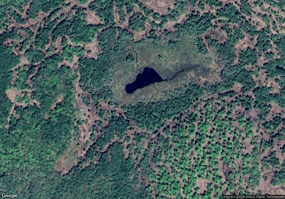
58 Howard Rd Gilsum, NH 03448
Estimated Value: $158,497 - $227,000
1
Bed
--
Bath
458
Sq Ft
$408/Sq Ft
Est. Value
About This Home
This home is located at 58 Howard Rd, Gilsum, NH 03448 and is currently estimated at $186,874, approximately $408 per square foot. 58 Howard Rd is a home with nearby schools including Gilsum STEAM Academy.
Ownership History
Date
Name
Owned For
Owner Type
Purchase Details
Closed on
Feb 24, 2022
Sold by
Bartlett Dawson and Bartlett Laura B
Bought by
Santos Felipe and Santos Adrienne
Current Estimated Value
Purchase Details
Closed on
Jun 30, 2021
Sold by
Perryman Steven
Bought by
Bartlett Dawson and Bartlett Laura B
Purchase Details
Closed on
Jan 15, 2016
Sold by
Flanery Kyle and Flanery Stacy
Bought by
Perryman Steven
Purchase Details
Closed on
Feb 2, 2009
Sold by
Garrow Thomas J and Garrow Julie A
Bought by
Flanery Kyle and Flanery Stacy
Create a Home Valuation Report for This Property
The Home Valuation Report is an in-depth analysis detailing your home's value as well as a comparison with similar homes in the area
Home Values in the Area
Average Home Value in this Area
Purchase History
| Date | Buyer | Sale Price | Title Company |
|---|---|---|---|
| Santos Felipe | $100,000 | None Available | |
| Santos Felipe | $100,000 | None Available | |
| Bartlett Dawson | $100,000 | None Available | |
| Bartlett Dawson | $100,000 | None Available | |
| Perryman Steven | $88,000 | -- | |
| Perryman Steven | $88,000 | -- | |
| Flanery Kyle | $60,000 | -- |
Source: Public Records
Tax History Compared to Growth
Tax History
| Year | Tax Paid | Tax Assessment Tax Assessment Total Assessment is a certain percentage of the fair market value that is determined by local assessors to be the total taxable value of land and additions on the property. | Land | Improvement |
|---|---|---|---|---|
| 2024 | $1,438 | $98,925 | $32,825 | $66,100 |
| 2023 | $1,279 | $49,129 | $15,829 | $33,300 |
| 2022 | $1,165 | $49,416 | $16,116 | $33,300 |
| 2021 | $1,151 | $49,626 | $16,326 | $33,300 |
| 2020 | $1,280 | $49,695 | $16,395 | $33,300 |
| 2019 | $1,390 | $49,632 | $16,332 | $33,300 |
| 2018 | $941 | $35,212 | $13,412 | $21,800 |
| 2017 | $1,046 | $35,298 | $13,498 | $21,800 |
| 2016 | $948 | $35,191 | $13,391 | $21,800 |
| 2015 | $930 | $34,848 | $13,048 | $21,800 |
| 2014 | $1,027 | $34,857 | $13,057 | $21,800 |
| 2013 | $967 | $35,901 | $15,901 | $20,000 |
Source: Public Records
Map
Nearby Homes
- 16 Nash Corner Rd
- 29&31 White Brook Rd
- 101 Gilsum Rd
- 6 Mill St
- 172 Nh-Rte 123 Route
- 32 Blueberry Hill Ln
- 24 White Brook Dr
- 27 Shadowland Rd
- Lot 53 Apple Hill Rd
- 105 South Rd
- 0 Washington Pond Rd Unit 113
- 00 Alstead Center Rd
- 178 North Rd
- 258 Valley Rd
- Lot 4 Belvedere Rd
- 225B Belvedere Rd Unit B
- 603 Route 12a
- 28 Village Rd
- 24 Village Rd
- 000 Old Gilsum Rd Unit 3
