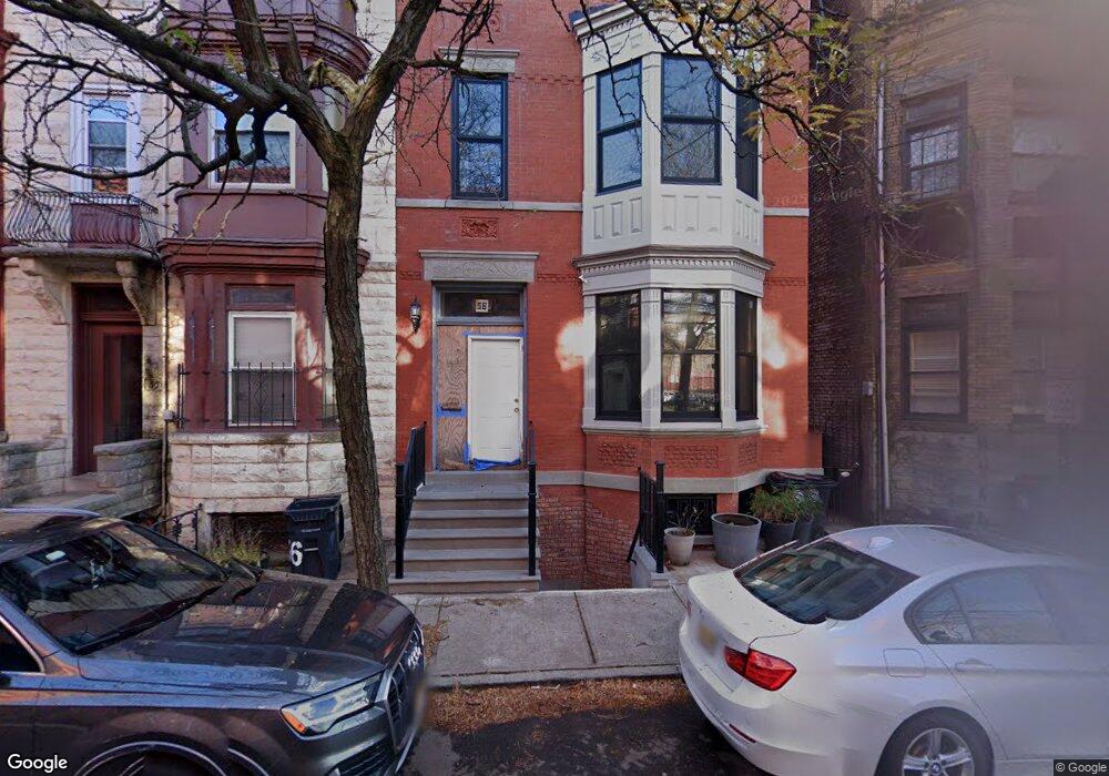
58 James St Newark, NJ 07102
University Heights NeighborhoodEstimated Value: $501,000 - $786,000
Studio
--
Bath
3,465
Sq Ft
$199/Sq Ft
Est. Value
About This Home
This home is located at 58 James St, Newark, NJ 07102 and is currently estimated at $688,775, approximately $198 per square foot. 58 James St is a home located in Essex County with nearby schools including Sir Isaac Newton Elementary School, Lafayette Street Elementary School, and Cleveland Elementary School.
Ownership History
Date
Name
Owned For
Owner Type
Purchase Details
Closed on
Nov 5, 2010
Sold by
The Dudley Development Corporation
Bought by
Osorio Fernandez Arturo E and Corradini Maria G
Current Estimated Value
Home Financials for this Owner
Home Financials are based on the most recent Mortgage that was taken out on this home.
Original Mortgage
$191,250
Outstanding Balance
$125,862
Interest Rate
4.22%
Mortgage Type
New Conventional
Estimated Equity
$562,913
Create a Home Valuation Report for This Property
The Home Valuation Report is an in-depth analysis detailing your home's value as well as a comparison with similar homes in the area
Home Values in the Area
Average Home Value in this Area
Purchase History
| Date | Buyer | Sale Price | Title Company |
|---|---|---|---|
| Osorio Fernandez Arturo E | $255,000 | None Available |
Source: Public Records
Mortgage History
| Date | Status | Borrower | Loan Amount |
|---|---|---|---|
| Open | Osorio Fernandez Arturo E | $191,250 |
Source: Public Records
Tax History
| Year | Tax Paid | Tax Assessment Tax Assessment Total Assessment is a certain percentage of the fair market value that is determined by local assessors to be the total taxable value of land and additions on the property. | Land | Improvement |
|---|---|---|---|---|
| 2025 | $11,009 | $295,300 | $38,600 | $256,700 |
| 2024 | $11,009 | $295,300 | $38,600 | $256,700 |
| 2022 | $11,032 | $295,300 | $38,600 | $256,700 |
| 2021 | $11,027 | $295,300 | $38,600 | $256,700 |
| 2020 | $11,221 | $295,300 | $38,600 | $256,700 |
| 2019 | $11,106 | $295,300 | $38,600 | $256,700 |
| 2018 | $10,905 | $295,300 | $38,600 | $256,700 |
| 2017 | $10,513 | $295,300 | $38,600 | $256,700 |
| 2016 | $10,158 | $295,300 | $38,600 | $256,700 |
| 2015 | $9,771 | $295,300 | $38,600 | $256,700 |
| 2014 | $9,157 | $295,300 | $38,600 | $256,700 |
Source: Public Records
Map
Nearby Homes
- 279 Dr Martin Luther King J
- 295 Doctor Martin Luther King Junior Blvd
- 200 Dey St Unit 257
- 200 Dey St Unit 231
- 200 Dey St Unit 266
- 200 Dey St Unit 258
- 43 Crane St
- 308 Passaic Ave Unit 315
- 310 Passaic Ave Unit 308
- 310 Passaic Ave Unit 301
- 308-310 Passaic Ave
- 308-310 Passaic Ave Unit 215
- 308-310 Passaic Ave Unit 301
- 49B Wickliffe St
- 91 Callahan Ct
- 67 Broadway
- 264 Matthews Dr
- 92 Perez Dr
- 246 Matthews Dr
- 56 Marrow St
- 60 James St Unit 3
- 60 James St
- 60 James St Unit 1
- 62 James St
- 62 James St Unit 3
- 62 James St Unit 1
- 62 James St Unit 2
- 54 James St
- 54 James St
- 54 James St
- 54 James St
- 54 James St
- 66 James St
- 52 James St Unit 4
- 52 James St Unit 3
- 52 James St Unit 2
- 52 James St Unit 1
- 52 James St
- 56 James St
- 56 James St
Your Personal Tour Guide
Ask me questions while you tour the home.