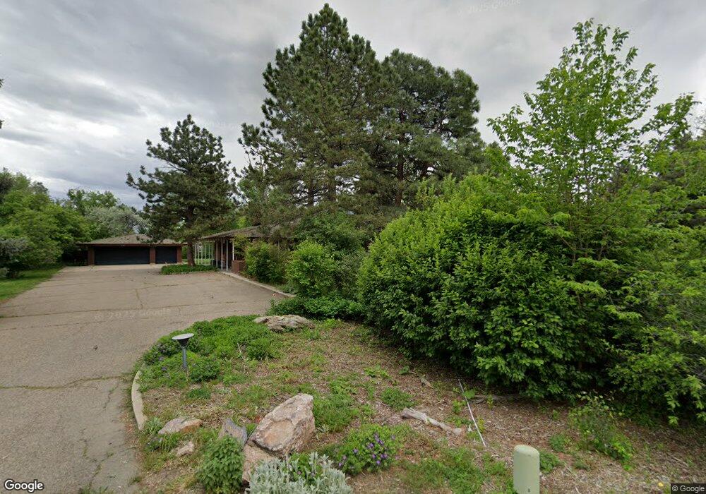
580 Front Range Rd Littleton, CO 80120
Heritage NeighborhoodEstimated Value: $1,691,000 - $2,481,000
4
Beds
6
Baths
3,612
Sq Ft
$601/Sq Ft
Est. Value
About This Home
This home is located at 580 Front Range Rd, Littleton, CO 80120 and is currently estimated at $2,171,890, approximately $601 per square foot. 580 Front Range Rd is a home located in Arapahoe County with nearby schools including Runyon Elementary School, Euclid Middle School, and Heritage High School.
Ownership History
Date
Name
Owned For
Owner Type
Purchase Details
Closed on
Oct 3, 2025
Sold by
Miller Edythe Sterne
Bought by
Christianson Holding Inc
Current Estimated Value
Home Financials for this Owner
Home Financials are based on the most recent Mortgage that was taken out on this home.
Original Mortgage
$2,360,000
Outstanding Balance
$2,360,000
Interest Rate
6.56%
Mortgage Type
Construction
Estimated Equity
-$188,110
Purchase Details
Closed on
Mar 15, 1994
Sold by
Miller Martin P and Miller Edythe S
Bought by
Miller Edythe S
Purchase Details
Closed on
Jul 4, 1776
Bought by
Conversion Arapco
Create a Home Valuation Report for This Property
The Home Valuation Report is an in-depth analysis detailing your home's value as well as a comparison with similar homes in the area
Home Values in the Area
Average Home Value in this Area
Purchase History
| Date | Buyer | Sale Price | Title Company |
|---|---|---|---|
| Christianson Holding Inc | $1,700,000 | Land Title Guarantee | |
| Miller Edythe S | -- | -- | |
| Conversion Arapco | -- | -- |
Source: Public Records
Mortgage History
| Date | Status | Borrower | Loan Amount |
|---|---|---|---|
| Open | Christianson Holding Inc | $2,360,000 |
Source: Public Records
Tax History Compared to Growth
Tax History
| Year | Tax Paid | Tax Assessment Tax Assessment Total Assessment is a certain percentage of the fair market value that is determined by local assessors to be the total taxable value of land and additions on the property. | Land | Improvement |
|---|---|---|---|---|
| 2024 | $14,061 | $153,745 | -- | -- |
| 2023 | $14,061 | $153,745 | $0 | $0 |
| 2022 | $11,154 | $116,816 | $0 | $0 |
| 2021 | $11,123 | $116,816 | $0 | $0 |
| 2020 | $10,636 | $115,251 | $0 | $0 |
| 2019 | $10,006 | $115,251 | $0 | $0 |
| 2018 | $8,328 | $102,823 | $0 | $0 |
| 2017 | $7,717 | $102,823 | $0 | $0 |
| 2016 | $8,260 | $106,306 | $0 | $0 |
| 2015 | $8,281 | $106,306 | $0 | $0 |
| 2014 | -- | $97,494 | $0 | $0 |
| 2013 | -- | $91,610 | $0 | $0 |
Source: Public Records
Map
Nearby Homes
- 7019 S Windermere St
- 1540 W Briarwood Ave
- 1705 W Hinsdale Place
- 7391 S Costilla St
- 7652 S Gallup Ct
- 707 W Easter Ave
- 2443 W Sunset Dr
- 7070 S Lakeview St
- 6664 S Datura St
- 7949 S Cedar Cir
- 7006 S Elati St
- 7964 S Cedar Cir
- 7420 S Houstoun Waring Cir
- 7132 S Bryant St Unit 232
- 2812 W Davies Dr
- 6511 S Cedar St
- 891 W Kettle Ave
- 7840 S Windermere Cir
- 6921 S Bryant St
- 7707 S Curtice Way Unit D
- 570 Front Range Rd
- 635 Front Range Rd
- 7117 S Windermere St
- 7109 S Windermere St
- 7127 S Windermere St
- 702 Shadycroft Ln
- 602 Shadycroft Ln
- 7097 S Windermere St
- 605 Front Range Rd
- 802 Shadycroft Ln
- 645 Front Range Rd
- 600 Front Range Rd
- 701 Shadycroft Ln
- 7087 S Windermere St
- 601 Shadycroft Ln
- 502 Shadycroft Ln
- 555 Front Range Rd
- 801 Shadycroft Ln
- 590 Front Range Rd
- 655 Front Range Rd