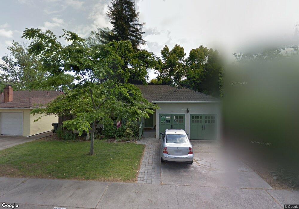
580 Swanston Dr Sacramento, CA 95818
Upper Land Park NeighborhoodEstimated Value: $444,000 - $780,000
3
Beds
2
Baths
1,832
Sq Ft
$346/Sq Ft
Est. Value
About This Home
This home is located at 580 Swanston Dr, Sacramento, CA 95818 and is currently estimated at $634,111, approximately $346 per square foot. 580 Swanston Dr is a home located in Sacramento County with nearby schools including Crocker/Riverside Elementary School, California Middle, and C. K. McClatchy High.
Ownership History
Date
Name
Owned For
Owner Type
Purchase Details
Closed on
Jul 1, 2019
Sold by
Oakes Harry E and Webber Lisa A
Bought by
Oakes Harry E and Webber Lisa A
Current Estimated Value
Purchase Details
Closed on
Oct 24, 1997
Sold by
Thompson C Michael and Thompson Janet L
Bought by
Oakes Harry E and Webber Lisa A
Home Financials for this Owner
Home Financials are based on the most recent Mortgage that was taken out on this home.
Original Mortgage
$136,209
Outstanding Balance
$21,711
Interest Rate
7.36%
Mortgage Type
FHA
Estimated Equity
$612,400
Create a Home Valuation Report for This Property
The Home Valuation Report is an in-depth analysis detailing your home's value as well as a comparison with similar homes in the area
Home Values in the Area
Average Home Value in this Area
Purchase History
| Date | Buyer | Sale Price | Title Company |
|---|---|---|---|
| Oakes Harry E | -- | None Available | |
| Oakes Harry E | $138,000 | Stewart Title |
Source: Public Records
Mortgage History
| Date | Status | Borrower | Loan Amount |
|---|---|---|---|
| Open | Oakes Harry E | $136,209 |
Source: Public Records
Tax History Compared to Growth
Tax History
| Year | Tax Paid | Tax Assessment Tax Assessment Total Assessment is a certain percentage of the fair market value that is determined by local assessors to be the total taxable value of land and additions on the property. | Land | Improvement |
|---|---|---|---|---|
| 2025 | $3,174 | $261,043 | $63,853 | $197,190 |
| 2024 | $3,174 | $255,925 | $62,601 | $193,324 |
| 2023 | $3,098 | $250,908 | $61,374 | $189,534 |
| 2022 | $3,044 | $245,989 | $60,171 | $185,818 |
| 2021 | $2,903 | $241,167 | $58,992 | $182,175 |
| 2020 | $2,922 | $238,696 | $58,388 | $180,308 |
| 2019 | $2,860 | $234,017 | $57,244 | $176,773 |
| 2018 | $2,786 | $229,429 | $56,122 | $173,307 |
| 2017 | $2,746 | $224,931 | $55,022 | $169,909 |
| 2016 | $2,678 | $220,522 | $53,944 | $166,578 |
| 2015 | $2,625 | $217,210 | $53,134 | $164,076 |
| 2014 | $2,556 | $212,956 | $52,094 | $160,862 |
Source: Public Records
Map
Nearby Homes
- 613 Swanston Dr
- 625 Robertson Way
- 749 3rd Ave Unit 3
- 2766 San Luis Ct
- 710 7th Ave
- 1259 Milano Dr Unit 2
- 2756 San Luis Ct
- 1268 Milano Dr Unit 6
- 808 Fremont Way
- 849 8th Ave
- 1300 Milano Dr Unit 7
- 3098 Riverside Blvd
- 601 Dudley Way
- 1316 Milano Dr Unit 4
- 1323 Milano Dr Unit 2
- 1323 Milano Dr Unit 6
- 2465 Genova St Unit 2
- 941 McClatchy Way
- 2643 Cleat Ln Unit 34B
- 2726 Moonflower St
- 576 Swanston Dr
- 600 Swanston Dr
- 581 Jones Way
- 601 Jones Way
- 572 Swanston Dr
- 577 Jones Way
- 608 Swanston Dr
- 609 Jones Way
- 573 Jones Way
- 577 Swanston Dr
- 575 Swanston Dr
- 573 Swanston Dr
- 568 Swanston Dr
- 581 Swanston Dr
- 620 Swanston Dr
- 621 Jones Way
- 605 Swanston Dr
- 569 Swanston Dr
- 584 Jones Way
- 569 Swanston Dr