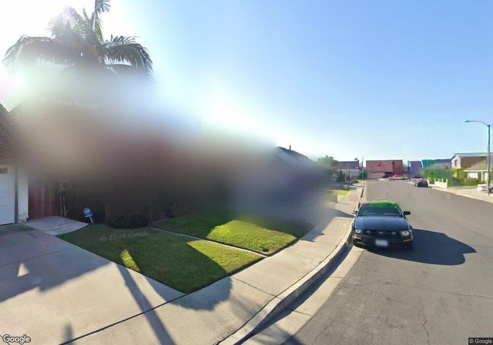
5802 Shasta Cir La Palma, CA 90623
Estimated Value: $1,217,259 - $1,356,000
4
Beds
3
Baths
2,080
Sq Ft
$616/Sq Ft
Est. Value
About This Home
This home is located at 5802 Shasta Cir, La Palma, CA 90623 and is currently estimated at $1,282,065, approximately $616 per square foot. 5802 Shasta Cir is a home located in Orange County with nearby schools including George B. Miller Elementary School, Walker Junior High School, and John F. Kennedy High School.
Ownership History
Date
Name
Owned For
Owner Type
Purchase Details
Closed on
Aug 11, 2008
Sold by
Woodson Dennis L and Woodson Betty L
Bought by
Woodson Dennis L and Woodson Betty L
Current Estimated Value
Home Financials for this Owner
Home Financials are based on the most recent Mortgage that was taken out on this home.
Original Mortgage
$544,185
Interest Rate
3.8%
Mortgage Type
Reverse Mortgage Home Equity Conversion Mortgage
Purchase Details
Closed on
Oct 17, 2001
Sold by
Woodson Dennis L and Woodson Betty L
Bought by
Woodson Dennis L and Woodson Betty L
Home Financials for this Owner
Home Financials are based on the most recent Mortgage that was taken out on this home.
Original Mortgage
$253,000
Interest Rate
6.84%
Purchase Details
Closed on
Feb 11, 2000
Sold by
Woodson Dennis L and Woodson Betty L
Bought by
Woodson Dennis L and Woodson Betty L
Create a Home Valuation Report for This Property
The Home Valuation Report is an in-depth analysis detailing your home's value as well as a comparison with similar homes in the area
Home Values in the Area
Average Home Value in this Area
Purchase History
| Date | Buyer | Sale Price | Title Company |
|---|---|---|---|
| Woodson Dennis L | -- | First American Title | |
| Woodson Dennis L | -- | Fidelity National Title Ins | |
| Woodson Dennis L | -- | -- |
Source: Public Records
Mortgage History
| Date | Status | Borrower | Loan Amount |
|---|---|---|---|
| Closed | Woodson Dennis L | $544,185 | |
| Closed | Woodson Dennis L | $253,000 |
Source: Public Records
Tax History
| Year | Tax Paid | Tax Assessment Tax Assessment Total Assessment is a certain percentage of the fair market value that is determined by local assessors to be the total taxable value of land and additions on the property. | Land | Improvement |
|---|---|---|---|---|
| 2025 | $4,088 | $347,743 | $162,427 | $185,316 |
| 2024 | $4,088 | $340,925 | $159,242 | $181,683 |
| 2023 | $3,985 | $334,241 | $156,120 | $178,121 |
| 2022 | $3,932 | $327,688 | $153,059 | $174,629 |
| 2021 | $3,875 | $321,263 | $150,058 | $171,205 |
| 2020 | $3,852 | $317,969 | $148,519 | $169,450 |
| 2019 | $3,756 | $311,735 | $145,607 | $166,128 |
| 2018 | $3,688 | $305,623 | $142,752 | $162,871 |
| 2017 | $3,573 | $299,631 | $139,953 | $159,678 |
| 2016 | $3,505 | $293,756 | $137,208 | $156,548 |
| 2015 | $3,464 | $289,344 | $135,147 | $154,197 |
| 2014 | $3,292 | $283,677 | $132,500 | $151,177 |
Source: Public Records
Map
Nearby Homes
- 5842 Crestview Cir
- 5836 Trinidad Way
- 5568 Ozawa Cir
- 5442 La Luna Dr
- 5826 Bolivia Dr
- 7425 Bradley Dr
- 7641 Lee Dr
- 5711 Los Amigos St
- 5342 La Luna Dr
- 5231 Bridgewood Dr
- 5865 Brazil Dr
- 5884 Los Encinos St
- 5201 Del Serra Cir
- 5271 Niguel Dr
- 5091 Sharon Dr
- 5612 Sprague Ave
- 5921 Los Ramos Cir
- 5161 Dumaine Dr
- 6430 Crescent Ave
- 5930 Los Nietos St
- 5812 Shasta Cir
- 5792 Shasta Cir
- 5822 Shasta Cir
- 5782 Shasta Cir
- 5801 Crestview Cir
- 5811 Crestview Cir
- 5791 Crestview Cir
- 5821 Crestview Cir
- 5781 Crestview Cir
- 5832 Shasta Cir
- 5801 Shasta Cir
- 5791 Shasta Cir
- 5811 Shasta Cir
- 5821 Shasta Cir
- 5781 Shasta Cir
- 5831 Crestview Cir
- 5831 Shasta Cir
- 7881 Westra Ln
- 7871 Westra Ln
- 7891 Westra Ln