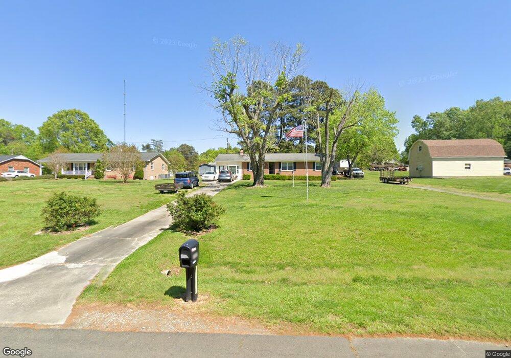
5805 Siler Rd Greensboro, NC 27406
Groometown NeighborhoodEstimated Value: $233,000 - $261,449
3
Beds
2
Baths
1,304
Sq Ft
$192/Sq Ft
Est. Value
About This Home
This home is located at 5805 Siler Rd, Greensboro, NC 27406 and is currently estimated at $249,862, approximately $191 per square foot. 5805 Siler Rd is a home located in Guilford County with nearby schools including Southern Guilford Middle and Southern Guilford High School.
Ownership History
Date
Name
Owned For
Owner Type
Purchase Details
Closed on
Aug 16, 2007
Sold by
Mcdow Anna Lucia
Bought by
Hayes Mike Robin and Hayes Shirley Dianne
Current Estimated Value
Home Financials for this Owner
Home Financials are based on the most recent Mortgage that was taken out on this home.
Original Mortgage
$116,082
Outstanding Balance
$73,460
Interest Rate
6.65%
Mortgage Type
FHA
Estimated Equity
$176,402
Purchase Details
Closed on
Apr 3, 2007
Sold by
Jones Lynn S
Bought by
Mcdow Anna Lucia
Home Financials for this Owner
Home Financials are based on the most recent Mortgage that was taken out on this home.
Original Mortgage
$75,200
Interest Rate
6.18%
Mortgage Type
Purchase Money Mortgage
Purchase Details
Closed on
May 3, 2006
Sold by
Jones Lynn S and Estate Of Robert Neil Jones
Bought by
Jones Lynn S
Create a Home Valuation Report for This Property
The Home Valuation Report is an in-depth analysis detailing your home's value as well as a comparison with similar homes in the area
Home Values in the Area
Average Home Value in this Area
Purchase History
| Date | Buyer | Sale Price | Title Company |
|---|---|---|---|
| Hayes Mike Robin | $117,000 | None Available | |
| Mcdow Anna Lucia | $94,000 | None Available | |
| Jones Lynn S | -- | None Available |
Source: Public Records
Mortgage History
| Date | Status | Borrower | Loan Amount |
|---|---|---|---|
| Open | Hayes Mike Robin | $116,082 | |
| Previous Owner | Mcdow Anna Lucia | $75,200 |
Source: Public Records
Tax History Compared to Growth
Tax History
| Year | Tax Paid | Tax Assessment Tax Assessment Total Assessment is a certain percentage of the fair market value that is determined by local assessors to be the total taxable value of land and additions on the property. | Land | Improvement |
|---|---|---|---|---|
| 2025 | $1,368 | $157,700 | $38,000 | $119,700 |
| 2024 | $1,368 | $157,700 | $38,000 | $119,700 |
| 2023 | $1,368 | $157,700 | $38,000 | $119,700 |
| 2022 | $1,368 | $157,700 | $38,000 | $119,700 |
| 2021 | $1,219 | $140,500 | $30,000 | $110,500 |
| 2020 | $1,219 | $140,500 | $30,000 | $110,500 |
| 2019 | $1,195 | $140,500 | $0 | $0 |
| 2018 | $1,189 | $140,500 | $0 | $0 |
| 2017 | $1,195 | $140,500 | $0 | $0 |
| 2016 | $1,041 | $120,600 | $0 | $0 |
| 2015 | $1,047 | $120,600 | $0 | $0 |
| 2014 | $1,059 | $120,600 | $0 | $0 |
Source: Public Records
Map
Nearby Homes
- 5805 Bartlett Dr
- 5405 Fieldswood Dr
- 1139 Kentmere Rd
- 1116 Kentmere Rd
- 130 W Steeple Chase Rd
- 4210 Randleman Rd
- 4908 Peppercorn Ln
- 5770 Drake Rd
- 2058 Bishop Rd
- 6700 Thurber Rd
- 184 E Sheraton Park Rd Unit Lot 3
- 5507 Bridgeway Dr
- 6718 Thurber Rd
- 5625 Davis Mill Rd
- 4116 Short Farm Rd
- 5310 Greywood Dr
- 4616 S Holden Rd
- 4634 S Holden Rd
- Dayton Plan at Avondale
- Vermont Plan at Avondale