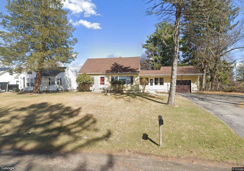
581 Route 17m Middletown, NY 10940
Estimated Value: $347,000 - $419,000
4
Beds
2
Baths
1,701
Sq Ft
$228/Sq Ft
Est. Value
About This Home
This home is located at 581 Route 17m, Middletown, NY 10940 and is currently estimated at $388,099, approximately $228 per square foot. 581 Route 17m is a home located in Orange County with nearby schools including Presidential Park Elementary School, Middletown Twin Towers Middle School, and Monhagen Middle School.
Ownership History
Date
Name
Owned For
Owner Type
Purchase Details
Closed on
Mar 27, 2001
Sold by
Mittman Corp
Bought by
Hoffman Abraham
Current Estimated Value
Home Financials for this Owner
Home Financials are based on the most recent Mortgage that was taken out on this home.
Original Mortgage
$250,000
Interest Rate
7.03%
Mortgage Type
Purchase Money Mortgage
Purchase Details
Closed on
Nov 16, 1999
Sold by
Oberlander David
Bought by
Mittman Corp
Create a Home Valuation Report for This Property
The Home Valuation Report is an in-depth analysis detailing your home's value as well as a comparison with similar homes in the area
Home Values in the Area
Average Home Value in this Area
Purchase History
| Date | Buyer | Sale Price | Title Company |
|---|---|---|---|
| Hoffman Abraham | -- | Commonwealth Land Title Ins | |
| Mittman Corp | -- | -- |
Source: Public Records
Mortgage History
| Date | Status | Borrower | Loan Amount |
|---|---|---|---|
| Previous Owner | Hoffman Abraham | $250,000 |
Source: Public Records
Tax History Compared to Growth
Tax History
| Year | Tax Paid | Tax Assessment Tax Assessment Total Assessment is a certain percentage of the fair market value that is determined by local assessors to be the total taxable value of land and additions on the property. | Land | Improvement |
|---|---|---|---|---|
| 2024 | $5,432 | $39,500 | $12,000 | $27,500 |
| 2023 | $5,432 | $39,500 | $12,000 | $27,500 |
| 2022 | $5,596 | $39,500 | $12,000 | $27,500 |
| 2021 | $6,697 | $39,500 | $12,000 | $27,500 |
| 2020 | $1,048 | $39,500 | $12,000 | $27,500 |
| 2019 | $1,332 | $39,500 | $12,000 | $27,500 |
| 2018 | $1,332 | $39,500 | $12,000 | $27,500 |
| 2017 | $1,397 | $39,500 | $12,000 | $27,500 |
| 2016 | $1,193 | $38,600 | $12,000 | $26,600 |
| 2015 | -- | $38,600 | $12,000 | $26,600 |
| 2014 | -- | $38,600 | $12,000 | $26,600 |
Source: Public Records
Map
Nearby Homes
- 19 Pleasant Ave
- 26 Kyleigh Way
- 167 Rockwell Ave
- 21 Lincoln Terrace Unit 19
- 14 Lincoln Terrace
- 0 Maples Rd Unit KEY883753
- 25 Jimal Dr
- 727 Route 17m
- 127 Watkins Ave Unit 129
- 658 Ingrassia Rd
- 38 Woodside Knolls Dr
- 11 Cobblestone Ln
- 7 Avoncroft Ln
- 23 Avoncroft Ln
- 38 Cobblestone Ln
- 7 Roosevelt Ave
- 30 Avoncroft Ln
- 3 Parkview Dr
- 203 Highland Ave
- 115 Vincent Dr