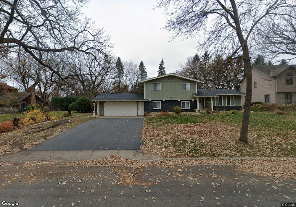
5818 Michael Ct Saint Cloud, MN 56303
Estimated Value: $300,000 - $317,883
4
Beds
3
Baths
1,404
Sq Ft
$221/Sq Ft
Est. Value
About This Home
This home is located at 5818 Michael Ct, Saint Cloud, MN 56303 and is currently estimated at $309,971, approximately $220 per square foot. 5818 Michael Ct is a home located in Stearns County with nearby schools including Westwood Elementary School, North Junior High School, and Apollo Senior High School.
Ownership History
Date
Name
Owned For
Owner Type
Purchase Details
Closed on
Jul 13, 2015
Sold by
Wehrs Richard Richard
Bought by
Borlaug Aaron Aaron
Current Estimated Value
Home Financials for this Owner
Home Financials are based on the most recent Mortgage that was taken out on this home.
Original Mortgage
$167,900
Outstanding Balance
$131,737
Interest Rate
4.04%
Estimated Equity
$178,234
Create a Home Valuation Report for This Property
The Home Valuation Report is an in-depth analysis detailing your home's value as well as a comparison with similar homes in the area
Purchase History
| Date | Buyer | Sale Price | Title Company |
|---|---|---|---|
| Borlaug Aaron Aaron | $169,900 | -- |
Source: Public Records
Mortgage History
| Date | Status | Borrower | Loan Amount |
|---|---|---|---|
| Open | Borlaug Aaron Aaron | $167,900 |
Source: Public Records
Tax History
| Year | Tax Paid | Tax Assessment Tax Assessment Total Assessment is a certain percentage of the fair market value that is determined by local assessors to be the total taxable value of land and additions on the property. | Land | Improvement |
|---|---|---|---|---|
| 2025 | $3,446 | $276,100 | $60,000 | $216,100 |
| 2024 | $3,506 | $276,100 | $60,000 | $216,100 |
| 2023 | $3,506 | $276,100 | $45,000 | $231,100 |
| 2022 | $2,644 | $200,100 | $45,000 | $155,100 |
| 2021 | $2,508 | $200,100 | $45,000 | $155,100 |
| 2020 | $2,398 | $191,300 | $45,000 | $146,300 |
| 2019 | $2,366 | $179,200 | $45,000 | $134,200 |
| 2018 | $2,276 | $167,900 | $45,000 | $122,900 |
| 2017 | $2,232 | $159,800 | $45,000 | $114,800 |
| 2016 | $2,100 | $0 | $0 | $0 |
| 2015 | $2,152 | $0 | $0 | $0 |
| 2014 | -- | $0 | $0 | $0 |
Source: Public Records
Map
Nearby Homes
- 611 Brookwood Ln
- 5815 Rivers Edge Dr
- 6201 Cape East Ct
- 1133 County Road 134
- 6204 Laurel Rd
- 6346 Cape West Ct
- 939 Cypress Rd Unit 4
- 939 Cypress Rd Unit 42
- 939 Cypress Rd Unit 27
- 939 Cypress Rd Unit 25
- 6545 Westwood Pkwy
- 144 Glenview Loop
- 1804 Amblewood Dr
- 1766 Cottonwood Cir
- 253 10th Ave N
- 6010 Prairie Rose Dr
- 6536 Kenwood Rd
- 1924 Pleasant Ave
- 1820 Case Ln
- 1825 Frontage Rd N
Your Personal Tour Guide
Ask me questions while you tour the home.