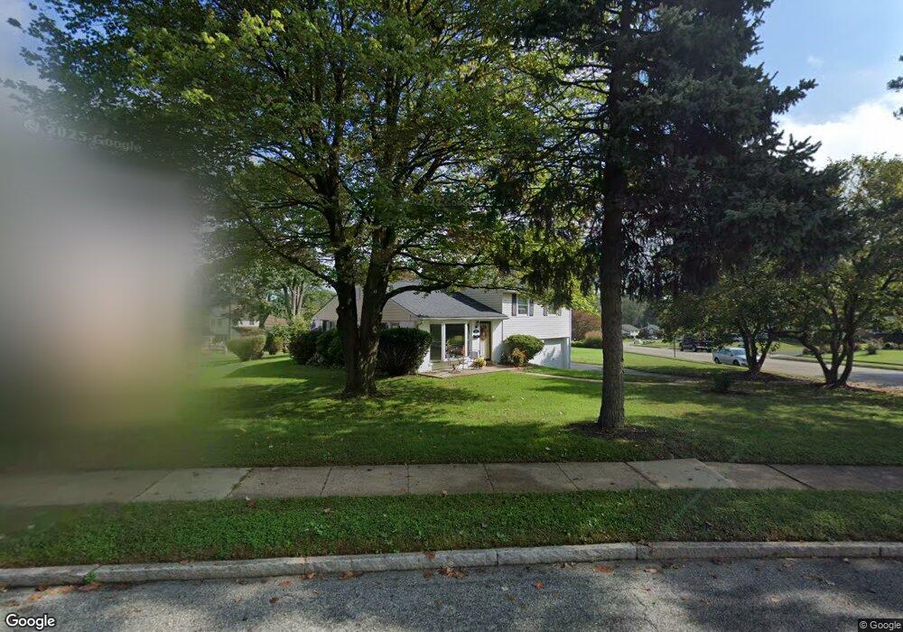
582 Maddock Rd Springfield, PA 19064
Estimated Value: $490,000 - $520,000
3
Beds
2
Baths
1,783
Sq Ft
$283/Sq Ft
Est. Value
About This Home
This home is located at 582 Maddock Rd, Springfield, PA 19064 and is currently estimated at $503,942, approximately $282 per square foot. 582 Maddock Rd is a home located in Delaware County with nearby schools including Springfield High School, St Francis Of Assisi School, and Cardinal O'Hara High School.
Ownership History
Date
Name
Owned For
Owner Type
Purchase Details
Closed on
Jul 16, 2024
Sold by
Hess Richard L
Bought by
Hess Richard L and Faso Maureen Christine
Current Estimated Value
Purchase Details
Closed on
Mar 31, 2005
Sold by
Hess Richard L and Hess Jill C
Bought by
Hess Richard L
Home Financials for this Owner
Home Financials are based on the most recent Mortgage that was taken out on this home.
Original Mortgage
$190,000
Interest Rate
5.95%
Mortgage Type
Fannie Mae Freddie Mac
Create a Home Valuation Report for This Property
The Home Valuation Report is an in-depth analysis detailing your home's value as well as a comparison with similar homes in the area
Home Values in the Area
Average Home Value in this Area
Purchase History
| Date | Buyer | Sale Price | Title Company |
|---|---|---|---|
| Hess Richard L | -- | None Listed On Document | |
| Hess Richard L | -- | -- |
Source: Public Records
Mortgage History
| Date | Status | Borrower | Loan Amount |
|---|---|---|---|
| Previous Owner | Hess Richard L | $190,000 |
Source: Public Records
Tax History
| Year | Tax Paid | Tax Assessment Tax Assessment Total Assessment is a certain percentage of the fair market value that is determined by local assessors to be the total taxable value of land and additions on the property. | Land | Improvement |
|---|---|---|---|---|
| 2025 | $7,753 | $275,840 | $104,300 | $171,540 |
| 2024 | $7,753 | $275,840 | $104,300 | $171,540 |
| 2023 | $7,465 | $275,840 | $104,300 | $171,540 |
| 2022 | $7,304 | $275,840 | $104,300 | $171,540 |
| 2021 | $11,311 | $275,840 | $104,300 | $171,540 |
| 2020 | $6,702 | $147,910 | $50,140 | $97,770 |
| 2019 | $6,545 | $147,910 | $50,140 | $97,770 |
| 2018 | $6,451 | $147,910 | $0 | $0 |
| 2017 | $6,302 | $147,910 | $0 | $0 |
| 2016 | $812 | $147,910 | $0 | $0 |
| 2015 | $812 | $147,910 | $0 | $0 |
| 2014 | $812 | $147,910 | $0 | $0 |
Source: Public Records
Map
Nearby Homes
- 641 W Sproul Rd
- 147 Snyder Ln
- 516 Beatty Rd
- 111 Forest Rd
- 31 Wayfield Rd
- 364 S Rolling Rd
- 1291 Country Club Dr Unit Q137
- 606 W Springfield Rd
- 1299 Country Club Dr Unit Q141
- 1433 Country Club Dr Unit T214
- 493 Wheatsheaf Rd
- 227 E Leamy Ave
- 1588 Nicklaus Dr Unit H65
- 120 W Springfield Rd
- 226 Lynbrooke Rd
- 332 Franklin Ave
- 509 Beatty Rd
- 501 Flora Cir
- 503 Beatty Rd
- 309 Corvus Cir
- 578 Maddock Rd
- 445 Kennerly Rd
- 453 Kennerly Rd
- 574 Maddock Rd
- 446 Kennerly Rd
- 441 Kennerly Rd
- 442 Kennerly Rd
- 450 Kennerly Rd
- 504 Maddock Rd
- 508 Maddock Rd
- 438 Kennerly Rd
- 575 Maddock Rd
- 454 Kennerly Rd
- 570 Maddock Rd
- 437 Kennerly Rd
- 512 Maddock Rd
- 500 Maddock Rd
- 434 Kennerly Rd
- 369 Lewis Rd
- 373 Lewis Rd
Your Personal Tour Guide
Ask me questions while you tour the home.