5825 Johnson Dr Fulton, MO 65251
Estimated Value: $203,000 - $292,000
3
Beds
2
Baths
1,435
Sq Ft
$173/Sq Ft
Est. Value
About This Home
This home is located at 5825 Johnson Dr, Fulton, MO 65251 and is currently estimated at $248,067, approximately $172 per square foot. 5825 Johnson Dr is a home located in Callaway County with nearby schools including South Callaway Elementary School, South Callaway Middle School, and South Callaway High School.
Ownership History
Date
Name
Owned For
Owner Type
Purchase Details
Closed on
Jan 21, 2022
Sold by
Pirtle Mitchell A and Ml Alisa
Bought by
Pirtle Mitchell A and Evans Alisa M
Current Estimated Value
Home Financials for this Owner
Home Financials are based on the most recent Mortgage that was taken out on this home.
Original Mortgage
$152,567
Outstanding Balance
$140,811
Interest Rate
3.22%
Mortgage Type
New Conventional
Estimated Equity
$107,256
Purchase Details
Closed on
Nov 12, 2010
Sold by
Us Bank N A
Bought by
Pirtle Mitchell A
Create a Home Valuation Report for This Property
The Home Valuation Report is an in-depth analysis detailing your home's value as well as a comparison with similar homes in the area
Home Values in the Area
Average Home Value in this Area
Purchase History
| Date | Buyer | Sale Price | Title Company |
|---|---|---|---|
| Pirtle Mitchell A | -- | None Listed On Document | |
| Pirtle Mitchell A | -- | -- |
Source: Public Records
Mortgage History
| Date | Status | Borrower | Loan Amount |
|---|---|---|---|
| Open | Pirtle Mitchell A | $152,567 |
Source: Public Records
Tax History Compared to Growth
Tax History
| Year | Tax Paid | Tax Assessment Tax Assessment Total Assessment is a certain percentage of the fair market value that is determined by local assessors to be the total taxable value of land and additions on the property. | Land | Improvement |
|---|---|---|---|---|
| 2024 | $752 | $19,133 | $0 | $0 |
| 2023 | $752 | $19,321 | $0 | $0 |
| 2022 | $760 | $19,321 | $1,324 | $17,997 |
| 2021 | $762 | $19,321 | $1,324 | $17,997 |
| 2020 | $763 | $19,321 | $1,324 | $17,997 |
| 2019 | $748 | $19,321 | $1,324 | $17,997 |
| 2018 | $751 | $19,327 | $1,330 | $17,997 |
| 2017 | $610 | $15,710 | $1,194 | $14,516 |
| 2016 | $609 | $15,700 | $0 | $0 |
| 2015 | $609 | $15,700 | $0 | $0 |
| 2014 | $590 | $15,350 | $0 | $0 |
Source: Public Records
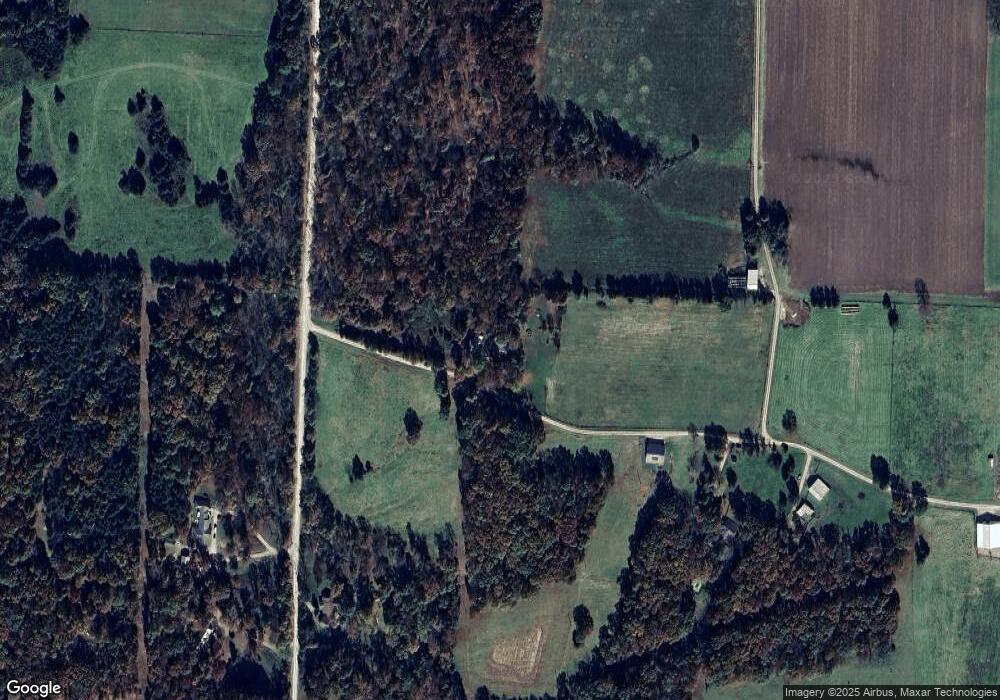
Map
Nearby Homes
- 7512 County Rd
- 7058 County Rd 409
- 4805 County Road 421
- 7058 County Road 409
- 0 County Road 433
- 6675 Longhorn Dr
- TBD County Road 433
- 0 15 + - Acres County Rd 404
- TBD 15 + - Acres County Rd 404
- 6198 Shady Hills Ln
- LOTS 35-36 Kenny Dr
- 5084 Red Maple Ln Unit 5084
- 250 Tennyson Rd
- TBD Greenwood Hills Lot#30
- TBD Greenwood Hills Lot#32
- 0 Greenwood Hills Lot#34
- 5898 Johnson Dr
- 8300 County Road 415
- 8255 County Road 415
- 8101 County Road 415
- 8310 County Road 415
- 5999 Johnson Dr
- 8201 County Road 415
- 8250 Poor Farm Rd
- 8290 Poor Farm Rd
- 8260 Poor Farm Rd
- 078+/- Ac County Road 415
- 8309 County Road 415
- Lot 3 Prairie Estates
- 8009 State Road C
- 8380 County Road 415
- 8315 County Road 415
- Lot 13 Prairie Estates
- Lot 2 Prairie Estates
- Lot 18 Prairie Estates
- 8157 Poor Farm Rd