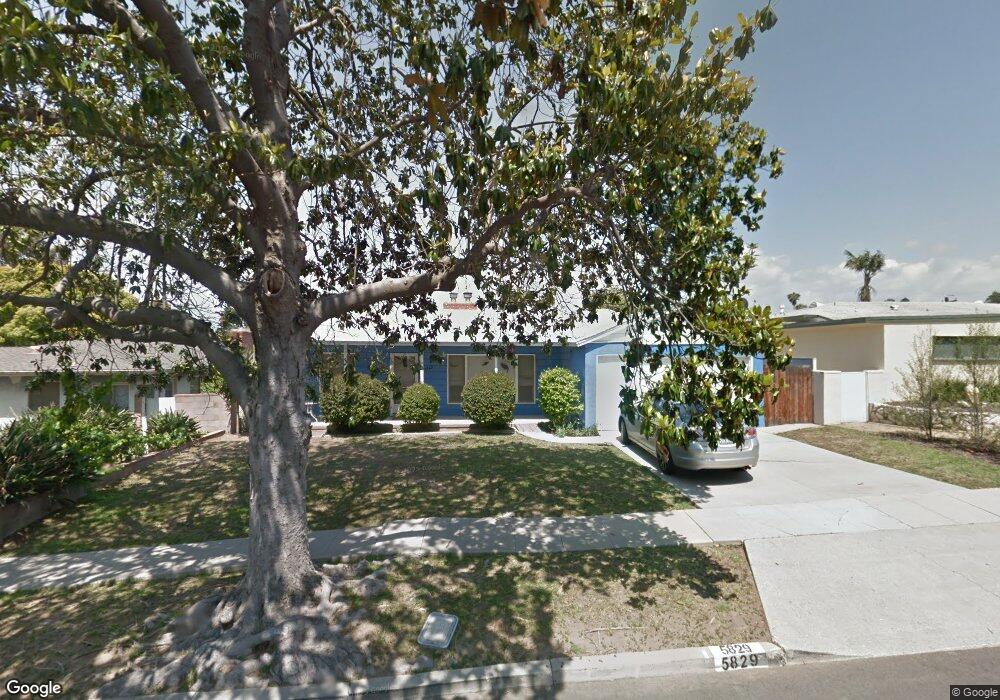
5829 Abernathy Dr Los Angeles, CA 90045
Westchester NeighborhoodEstimated Value: $1,317,822 - $1,714,000
2
Beds
2
Baths
1,316
Sq Ft
$1,160/Sq Ft
Est. Value
About This Home
This home is located at 5829 Abernathy Dr, Los Angeles, CA 90045 and is currently estimated at $1,527,206, approximately $1,160 per square foot. 5829 Abernathy Dr is a home located in Los Angeles County with nearby schools including Westport Heights Elementary, Wright Middle School STEAM Magnet, and Westchester Enriched Sciences Magnets.
Ownership History
Date
Name
Owned For
Owner Type
Purchase Details
Closed on
Jan 29, 2021
Sold by
Rappaport Andrew
Bought by
Rappaport Andrew and Robins Debra A
Current Estimated Value
Home Financials for this Owner
Home Financials are based on the most recent Mortgage that was taken out on this home.
Original Mortgage
$400,000
Interest Rate
2.7%
Mortgage Type
New Conventional
Create a Home Valuation Report for This Property
The Home Valuation Report is an in-depth analysis detailing your home's value as well as a comparison with similar homes in the area
Home Values in the Area
Average Home Value in this Area
Purchase History
| Date | Buyer | Sale Price | Title Company |
|---|---|---|---|
| Rappaport Andrew | -- | Title365 |
Source: Public Records
Mortgage History
| Date | Status | Borrower | Loan Amount |
|---|---|---|---|
| Closed | Rappaport Andrew | $400,000 |
Source: Public Records
Tax History Compared to Growth
Tax History
| Year | Tax Paid | Tax Assessment Tax Assessment Total Assessment is a certain percentage of the fair market value that is determined by local assessors to be the total taxable value of land and additions on the property. | Land | Improvement |
|---|---|---|---|---|
| 2025 | $6,180 | $501,730 | $349,658 | $152,072 |
| 2024 | $6,180 | $491,893 | $342,802 | $149,091 |
| 2023 | $6,067 | $482,249 | $336,081 | $146,168 |
| 2022 | $5,795 | $472,794 | $329,492 | $143,302 |
| 2021 | $5,718 | $463,525 | $323,032 | $140,493 |
| 2020 | $5,773 | $458,773 | $319,720 | $139,053 |
| 2019 | $5,551 | $449,778 | $313,451 | $136,327 |
| 2018 | $5,457 | $440,959 | $307,305 | $133,654 |
| 2016 | $5,215 | $423,838 | $295,373 | $128,465 |
| 2015 | $5,140 | $417,473 | $290,937 | $126,536 |
| 2014 | $5,164 | $409,296 | $285,238 | $124,058 |
Source: Public Records
Map
Nearby Homes
- 7803 Flight Ave
- 5858 Abernathy Dr
- 5723 W 74th St
- 5600 W 78th St
- 5845 W 74th St
- 5966 Abernathy Dr
- 7840 Boeing Ave
- 7701 Toland Ave
- 5530 Thornburn St Unit 102
- 5988 W 76th St
- 5467 W 76th St
- 5506 Thornburn St
- 5503 Thornburn St
- 7100 Alvern St Unit 404
- 7100 Alvern St Unit 317
- 8130 Grimsby Ave
- 5400 Thornburn St
- 5401 Thornburn St
- 7111 La Tijera Blvd Unit C101
- 6040 W 76th St
- 5825 Abernathy Dr
- 5833 Abernathy Dr
- 5740 W 76th St
- 5746 W 76th St
- 5821 Abernathy Dr
- 5837 Abernathy Dr
- 5734 W 76th St
- 5752 W 76th St
- 5822 Abernathy Dr
- 5832 Abernathy Dr
- 5841 Abernathy Dr
- 5758 W 76th St
- 5817 Abernathy Dr
- 5818 Abernathy Dr
- 5720 W 76th St
- 5838 Abernathy Dr
- 5812 Abernathy Dr
- 5764 W 76th St
- 5811 W 77th Place
- 5714 W 76th St