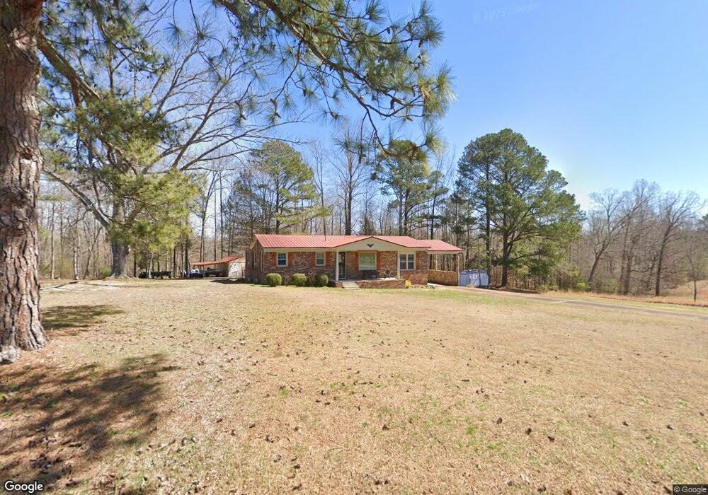
583 Wilkinstown Rd Parsons, TN 38363
Estimated Value: $93,258 - $199,000
--
Bed
1
Bath
1,012
Sq Ft
$158/Sq Ft
Est. Value
About This Home
This home is located at 583 Wilkinstown Rd, Parsons, TN 38363 and is currently estimated at $159,815, approximately $157 per square foot. 583 Wilkinstown Rd is a home located in Decatur County with nearby schools including Parsons Elementary School, Decaturville Elementary School, and Decatur County Middle School.
Ownership History
Date
Name
Owned For
Owner Type
Purchase Details
Closed on
Mar 22, 2018
Sold by
Bowman Ima Jean and Bowman Jeffrey C
Bought by
Creasy Charles Scott
Current Estimated Value
Purchase Details
Closed on
Aug 21, 2009
Sold by
Bowman Ima Jean
Bought by
Creasy Charles Scott
Home Financials for this Owner
Home Financials are based on the most recent Mortgage that was taken out on this home.
Original Mortgage
$65,306
Interest Rate
5.14%
Mortgage Type
Cash
Purchase Details
Closed on
Jan 27, 2000
Sold by
Bowman James M
Bought by
Bowmanjames M
Purchase Details
Closed on
Jan 16, 1997
Sold by
Tolley Edith
Bought by
White A B Anita
Purchase Details
Closed on
Sep 23, 1962
Bought by
Tolley Edith
Create a Home Valuation Report for This Property
The Home Valuation Report is an in-depth analysis detailing your home's value as well as a comparison with similar homes in the area
Home Values in the Area
Average Home Value in this Area
Purchase History
| Date | Buyer | Sale Price | Title Company |
|---|---|---|---|
| Creasy Charles Scott | -- | None Available | |
| Creasy Charles Scott | $63,600 | -- | |
| Bowmanjames M | -- | -- | |
| White A B Anita | $87,500 | -- | |
| Tolley Edith | -- | -- |
Source: Public Records
Mortgage History
| Date | Status | Borrower | Loan Amount |
|---|---|---|---|
| Previous Owner | Tolley Edith | $65,306 |
Source: Public Records
Tax History Compared to Growth
Tax History
| Year | Tax Paid | Tax Assessment Tax Assessment Total Assessment is a certain percentage of the fair market value that is determined by local assessors to be the total taxable value of land and additions on the property. | Land | Improvement |
|---|---|---|---|---|
| 2025 | $319 | $36,200 | $0 | $0 |
| 2024 | $319 | $12,375 | $2,575 | $9,800 |
| 2023 | $319 | $12,375 | $2,575 | $9,800 |
| 2022 | $319 | $12,375 | $2,575 | $9,800 |
| 2021 | $316 | $12,375 | $2,575 | $9,800 |
| 2020 | $316 | $12,250 | $2,575 | $9,675 |
| 2019 | $285 | $12,650 | $2,575 | $10,075 |
| 2018 | $244 | $12,650 | $2,575 | $10,075 |
| 2017 | $244 | $12,250 | $2,175 | $10,075 |
| 2016 | $244 | $12,250 | $2,175 | $10,075 |
| 2015 | $223 | $11,200 | $2,200 | $9,000 |
| 2014 | $223 | $11,204 | $0 | $0 |
Source: Public Records
Map
Nearby Homes
- 614 Wilkinstown Rd
- 473 Wilkinstown Rd
- 775 Wilkinstown Rd
- 438 Wilkinstown Rd
- 133 Leeburn Harris Ln
- 134 Leeburn Harris Ln
- 105 Bobby Swindle Cove
- 288 Wilkinstown Rd
- 153 Barnett Cemetery Cove
- 230 Leeburn Harris Ln
- 898 Wilkinstown Rd
- 1621 Highway 412 W
- 100 Bobby Swindle Cove
- 225 Leeburn Harris Ln
- 250 Wilkinstown Rd
- 30 Pettigrew St
- 200 Pettigrew St
- 255 Leeburn Harris Ln
- 938 Wilkinstown Rd
- 106 Pettigrew St