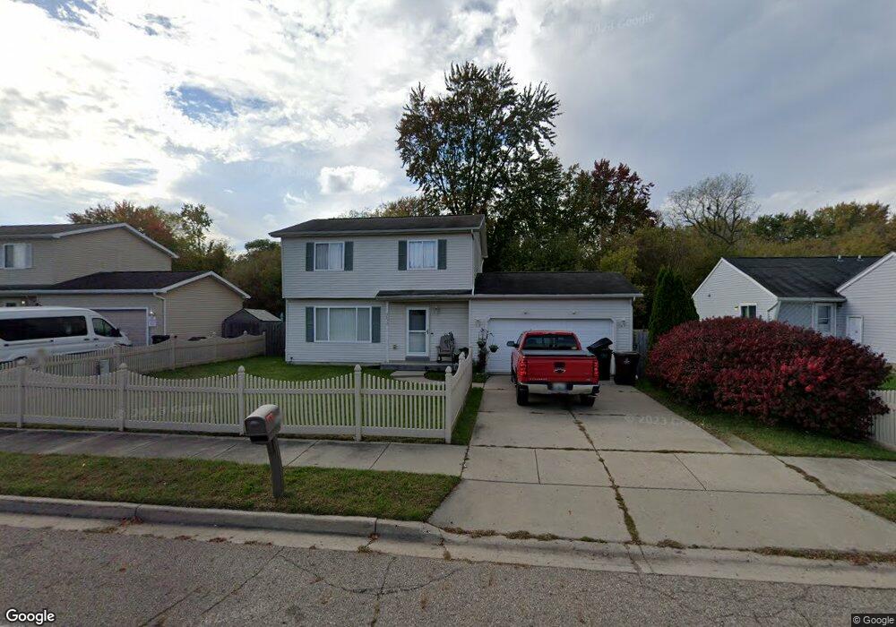
5832 Wise Rd Lansing, MI 48911
Southern Lansing NeighborhoodEstimated Value: $184,000 - $207,000
3
Beds
2
Baths
1,248
Sq Ft
$157/Sq Ft
Est. Value
About This Home
This home is located at 5832 Wise Rd, Lansing, MI 48911 and is currently estimated at $195,786, approximately $156 per square foot. 5832 Wise Rd is a home located in Ingham County with nearby schools including Reo Elementary School, Attwood School, and Everett High School.
Ownership History
Date
Name
Owned For
Owner Type
Purchase Details
Closed on
Jun 28, 2002
Sold by
Messieha Badieh and Messieha Violette
Bought by
Mitchell Doretha
Current Estimated Value
Home Financials for this Owner
Home Financials are based on the most recent Mortgage that was taken out on this home.
Original Mortgage
$123,650
Interest Rate
6.64%
Mortgage Type
Purchase Money Mortgage
Create a Home Valuation Report for This Property
The Home Valuation Report is an in-depth analysis detailing your home's value as well as a comparison with similar homes in the area
Home Values in the Area
Average Home Value in this Area
Purchase History
| Date | Buyer | Sale Price | Title Company |
|---|---|---|---|
| Mitchell Doretha | $124,900 | -- | |
| Messieha Badieh | -- | -- |
Source: Public Records
Mortgage History
| Date | Status | Borrower | Loan Amount |
|---|---|---|---|
| Previous Owner | Mitchell Doretha | $123,650 |
Source: Public Records
Tax History
| Year | Tax Paid | Tax Assessment Tax Assessment Total Assessment is a certain percentage of the fair market value that is determined by local assessors to be the total taxable value of land and additions on the property. | Land | Improvement |
|---|---|---|---|---|
| 2025 | $3,465 | $104,600 | $7,700 | $96,900 |
| 2024 | $28 | $76,200 | $7,700 | $68,500 |
| 2023 | $3,249 | $65,800 | $7,700 | $58,100 |
| 2022 | $2,927 | $65,900 | $4,900 | $61,000 |
| 2021 | $2,866 | $60,900 | $4,800 | $56,100 |
| 2020 | $2,849 | $59,100 | $4,800 | $54,300 |
| 2019 | $2,732 | $55,000 | $4,800 | $50,200 |
| 2018 | $2,559 | $48,200 | $4,800 | $43,400 |
| 2017 | $2,450 | $48,200 | $4,800 | $43,400 |
| 2016 | $2,280 | $46,200 | $4,800 | $41,400 |
| 2015 | $2,280 | $45,100 | $9,519 | $35,581 |
| 2014 | $2,280 | $40,600 | $15,468 | $25,132 |
Source: Public Records
Map
Nearby Homes
- 3220 W Miller Rd
- 2961 S Waverly Hwy
- 5424 S Waverly Rd
- 5129 Wexford Rd
- 2918 Midwood St
- 2807 W Jolly Rd
- 2416 Midwood St
- 3428 W Jolly Rd
- 2706 W Jolly Rd
- 3214 Raynell St
- 5650 Hughes Rd
- 2700 Eaton Rapids Road #193 Rd
- 2800 S Waverly Rd
- 5723 Taffy Pkwy
- 6037 Hughes Rd
- 5902 Haag Rd
- 0 Midwood St
- 4927 Starr Ave
- 2616 Michigan 99
- 4928 Hughes Rd
Your Personal Tour Guide
Ask me questions while you tour the home.