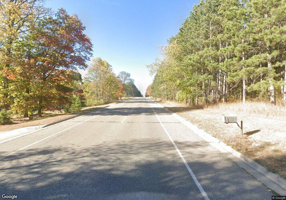
586 Lomond Dr NW Bagley, MN 56621
Estimated Value: $215,000 - $255,681
3
Beds
--
Bath
1,680
Sq Ft
$143/Sq Ft
Est. Value
About This Home
This home is located at 586 Lomond Dr NW, Bagley, MN 56621 and is currently estimated at $239,920, approximately $142 per square foot. 586 Lomond Dr NW is a home located in Clearwater County with nearby schools including Bagley Elementary School and Bagley Secondary School.
Ownership History
Date
Name
Owned For
Owner Type
Purchase Details
Closed on
Jul 26, 2013
Sold by
Girtz Sandra Sandra
Bought by
Bolduc Bryantt
Current Estimated Value
Home Financials for this Owner
Home Financials are based on the most recent Mortgage that was taken out on this home.
Original Mortgage
$116,400
Outstanding Balance
$85,268
Interest Rate
4.02%
Estimated Equity
$154,652
Create a Home Valuation Report for This Property
The Home Valuation Report is an in-depth analysis detailing your home's value as well as a comparison with similar homes in the area
Home Values in the Area
Average Home Value in this Area
Purchase History
| Date | Buyer | Sale Price | Title Company |
|---|---|---|---|
| Bolduc Bryantt | $116,400 | -- |
Source: Public Records
Mortgage History
| Date | Status | Borrower | Loan Amount |
|---|---|---|---|
| Open | Bolduc Bryantt | $116,400 |
Source: Public Records
Tax History Compared to Growth
Tax History
| Year | Tax Paid | Tax Assessment Tax Assessment Total Assessment is a certain percentage of the fair market value that is determined by local assessors to be the total taxable value of land and additions on the property. | Land | Improvement |
|---|---|---|---|---|
| 2024 | $2,464 | $250,000 | $24,800 | $225,200 |
| 2023 | $2,464 | $206,400 | $19,800 | $186,600 |
| 2022 | $2,650 | $201,500 | $19,800 | $181,700 |
| 2021 | $2,256 | $179,100 | $16,400 | $162,700 |
| 2020 | $2,392 | $140,200 | $14,800 | $125,400 |
| 2019 | $2,374 | $139,700 | $14,800 | $124,900 |
| 2018 | $2,254 | $142,200 | $14,800 | $127,400 |
| 2017 | $2,282 | $132,200 | $14,800 | $117,400 |
| 2016 | $2,382 | $126,700 | $14,900 | $111,800 |
| 2015 | $2,392 | $0 | $0 | $0 |
| 2014 | $3,024 | $0 | $0 | $0 |
Source: Public Records
Map
Nearby Homes
- 206 Sunset Ave NW
- 636 Labudde Ave NE
- 203 Sand Lake Ave SW
- 16059 Us 2
- 36101 159th St
- TBD U S Highway 2
- 19754 Bell Loop
- 35808 Old Scale Dr
- 34423 221st Ave
- 38463 233rd Ave
- TBD 243rd Ave
- 19753 290th St
- TBD Easement Access
- 22278 Leonard Rd
- 46813 209th Ave
- 315 3rd Ave SW
- 46496 County 7
- 13102 Seaberg Ln
- 0 Tbd 460th St Unit LotWP001
- TBD 460th St
- 586 586 Lomond Dr
- 636 Lomond Dr NW
- 536 Lomond Dr NW
- 536 536 Lomond Dr
- 536 536 Lomond-Drive-
- 658 Lomond Dr NW
- 482 Lomond Loop
- 482 Lomond Loop
- 658 658 Lomond Dr
- 561 Lomond Dr NW
- 480 Lomond Loop
- 17970 366th St
- 17932 366th St
- 476 Lomond Loop
- 491 Lomond Dr NW
- 713 Lomond Dr NW
- 476 Lomond Dr NW
- 743 743 Lomond Dr
- 743 Lomond Dr NW
- 478 Lomond Loop
