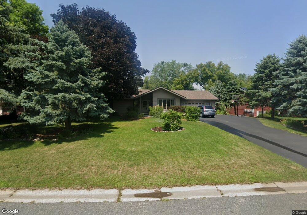
587 Atlantic Hill Dr Saint Paul, MN 55123
Estimated Value: $573,000 - $623,000
4
Beds
3
Baths
2,102
Sq Ft
$289/Sq Ft
Est. Value
About This Home
This home is located at 587 Atlantic Hill Dr, Saint Paul, MN 55123 and is currently estimated at $607,373, approximately $288 per square foot. 587 Atlantic Hill Dr is a home located in Dakota County with nearby schools including Pinewood Elementary School, Dakota Hills Middle School, and Eagan Senior High School.
Ownership History
Date
Name
Owned For
Owner Type
Purchase Details
Closed on
Jun 2, 2017
Sold by
Myhre George M and Myhre Linda M
Bought by
Reese Shane C and Reese Susan
Current Estimated Value
Home Financials for this Owner
Home Financials are based on the most recent Mortgage that was taken out on this home.
Original Mortgage
$327,250
Outstanding Balance
$272,204
Interest Rate
4.02%
Mortgage Type
New Conventional
Estimated Equity
$335,169
Create a Home Valuation Report for This Property
The Home Valuation Report is an in-depth analysis detailing your home's value as well as a comparison with similar homes in the area
Home Values in the Area
Average Home Value in this Area
Purchase History
| Date | Buyer | Sale Price | Title Company |
|---|---|---|---|
| Reese Shane C | $385,000 | Title Smart Inc |
Source: Public Records
Mortgage History
| Date | Status | Borrower | Loan Amount |
|---|---|---|---|
| Open | Reese Shane C | $327,250 |
Source: Public Records
Tax History Compared to Growth
Tax History
| Year | Tax Paid | Tax Assessment Tax Assessment Total Assessment is a certain percentage of the fair market value that is determined by local assessors to be the total taxable value of land and additions on the property. | Land | Improvement |
|---|---|---|---|---|
| 2024 | $6,310 | $599,500 | $113,000 | $486,500 |
| 2023 | $6,310 | $568,600 | $118,700 | $449,900 |
| 2022 | $5,348 | $559,200 | $118,400 | $440,800 |
| 2021 | $5,078 | $475,600 | $103,000 | $372,600 |
| 2020 | $4,854 | $440,600 | $98,100 | $342,500 |
| 2019 | $4,471 | $410,200 | $93,400 | $316,800 |
| 2018 | $4,342 | $398,700 | $81,600 | $317,100 |
| 2017 | $4,109 | $376,000 | $77,800 | $298,200 |
| 2016 | $4,183 | $341,700 | $74,000 | $267,700 |
| 2015 | $3,730 | $338,374 | $72,663 | $265,711 |
| 2014 | -- | $306,219 | $69,971 | $236,248 |
| 2013 | -- | $291,722 | $63,216 | $228,506 |
Source: Public Records
Map
Nearby Homes
- 681 Summer Ln
- 699 Calvin Ct
- 4525 Alicia Dr
- 10787 Alison Way
- 10668 Alton Ct
- 591 Autumn Oaks Ct
- 4358 Yorktown Dr
- 4231 Yorktown Dr
- 4274 Maclaren Place
- 782 Summerbrooke Ct
- 790 Summerbrooke Ct
- 878 Lakewood Hills Rd S
- 4240 Braddock Trail
- 11362 Avery Dr
- 4125 Pennsylvania Ave
- 4072 Prairie Ridge Rd
- 4829 Redpoll Ct
- 11440 Avery Dr
- 4080 Camberwell Dr N
- 4837 Avery Ct
- 593 Atlantic Hill Dr
- 581 Atlantic Hill Dr
- 599 Atlantic Hill Dr
- 573 Atlantic Hill Dr
- 584 Atlantic Hill Dr
- 607 Atlantic Hill Dr
- 592 Atlantic Hill Dr
- 572 Atlantic Hill Dr
- 613 Atlantic Hill Dr
- 582 Michigan Ct
- 604 Atlantic Hill Dr
- 594 Huron Ct
- 564 Atlantic Hill Dr
- 619 Atlantic Hill Dr
- 574 Michigan Ct
- 596 Huron Ct
- 618 Erie Ct
- 580 Michigan Ct
- 576 Michigan Ct
- 550 Atlantic Hill Dr