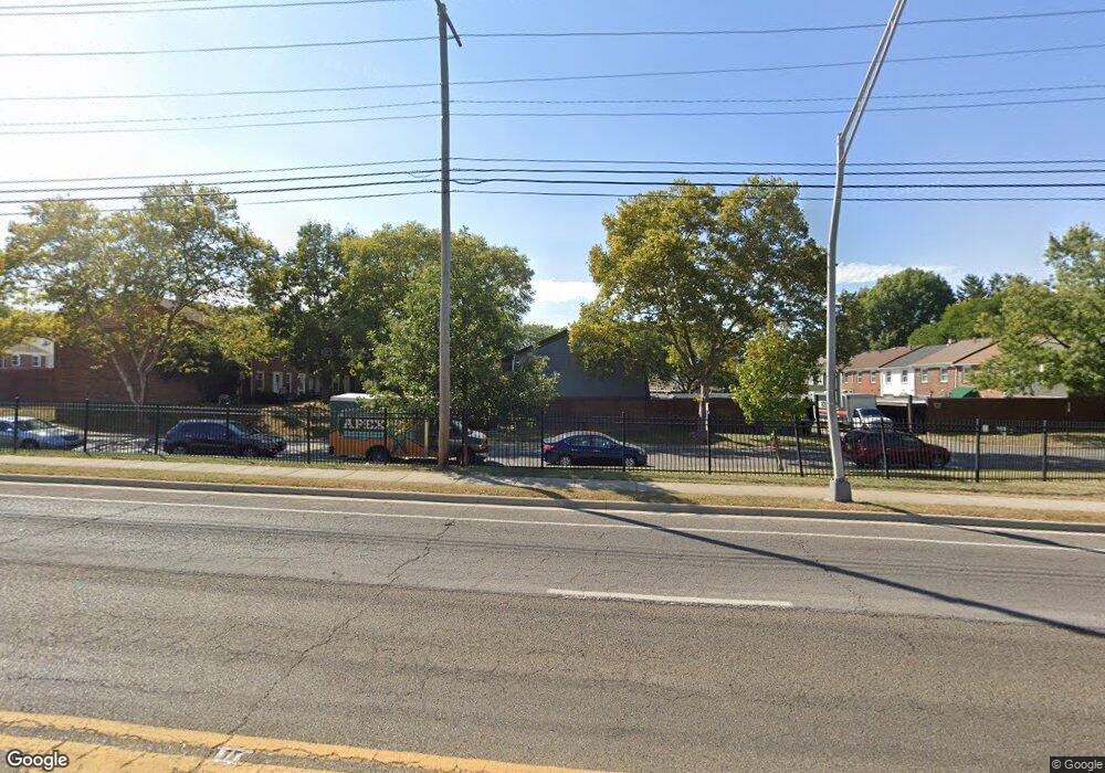
587 Simbury St Columbus, OH 43228
Westchester-Green Countrie NeighborhoodEstimated Value: $173,816 - $211,000
3
Beds
3
Baths
1,296
Sq Ft
$145/Sq Ft
Est. Value
About This Home
This home is located at 587 Simbury St, Columbus, OH 43228 and is currently estimated at $187,954, approximately $145 per square foot. 587 Simbury St is a home located in Franklin County with nearby schools including Darby Woods Elementary School, Galloway Ridge Intermediate School, and Pleasant View Middle School.
Ownership History
Date
Name
Owned For
Owner Type
Purchase Details
Closed on
Jul 25, 1996
Sold by
Thomas Robert B
Bought by
Patty L Burk
Current Estimated Value
Purchase Details
Closed on
Sep 8, 1995
Sold by
Wiler Bettye E
Bought by
Robert B Thomas
Home Financials for this Owner
Home Financials are based on the most recent Mortgage that was taken out on this home.
Original Mortgage
$46,000
Interest Rate
7.76%
Mortgage Type
New Conventional
Create a Home Valuation Report for This Property
The Home Valuation Report is an in-depth analysis detailing your home's value as well as a comparison with similar homes in the area
Home Values in the Area
Average Home Value in this Area
Purchase History
| Date | Buyer | Sale Price | Title Company |
|---|---|---|---|
| Patty L Burk | $62,000 | -- | |
| Robert B Thomas | $47,500 | -- |
Source: Public Records
Mortgage History
| Date | Status | Borrower | Loan Amount |
|---|---|---|---|
| Previous Owner | Robert B Thomas | $46,000 | |
| Closed | Patty L Burk | -- |
Source: Public Records
Tax History
| Year | Tax Paid | Tax Assessment Tax Assessment Total Assessment is a certain percentage of the fair market value that is determined by local assessors to be the total taxable value of land and additions on the property. | Land | Improvement |
|---|---|---|---|---|
| 2025 | $1,724 | $57,090 | $7,700 | $49,390 |
| 2024 | $1,724 | $57,090 | $7,700 | $49,390 |
| 2023 | $1,716 | $57,085 | $7,700 | $49,385 |
| 2022 | $1,222 | $33,780 | $5,250 | $28,530 |
| 2021 | $1,246 | $33,780 | $5,250 | $28,530 |
| 2020 | $1,239 | $33,780 | $5,250 | $28,530 |
| 2019 | $1,263 | $22,510 | $3,500 | $19,010 |
| 2018 | $1,278 | $22,510 | $3,500 | $19,010 |
| 2017 | $1,275 | $22,510 | $3,500 | $19,010 |
| 2016 | $1,298 | $21,460 | $3,680 | $17,780 |
| 2015 | $1,298 | $21,460 | $3,680 | $17,780 |
| 2014 | $1,300 | $21,460 | $3,680 | $17,780 |
| 2013 | $758 | $25,235 | $4,305 | $20,930 |
Source: Public Records
Map
Nearby Homes
- 557 Simbury St
- 621 Simbury St Unit D6
- 634 Dlyn St Unit 5
- 660 Dlyn St
- 614 Dlyn St
- 671 Simbury St
- 496 Clairbrook Ave Unit Jc-13
- 5584 Brackenridge Ave Unit R7
- 443 Clairbrook Ave
- 516 Pamlico St
- 5656 Idella Dr
- 417 Pamlico St Unit JK2
- 773 Hurlock Ln
- 5757 Silver Spurs Ln
- 813 Hurlock Ln
- 1083 Oak Bay Dr
- 429 Postle Blvd
- 1295 Hathersage Place
- 5711 Greendale Dr
- 683 Perilous Place Unit 3
- 589 Simbury St
- 585 Simbury St
- 583 Simbury St Unit 7
- 593 Simbury St Unit 2
- 591 Simbury St Unit 3
- 595 Simbury St
- 581 Simbury St
- 577 Simbury St
- 607 Simbury St
- 609 Simbury St
- 603 Simbury St
- 603 Simbury St Unit C
- 605 Simbury St Unit 5
- 601 Simbury St
- 601 Simbury St Unit C-3
- 611 Simbury St
- 613 Simbury St
- 599 Simbury St Unit C2
- 597 Simbury St Unit C1
- 567 Simbury St
Your Personal Tour Guide
Ask me questions while you tour the home.