5877 Secrest Rd Wooster, OH 44691
Estimated Value: $303,000 - $367,000
4
Beds
3
Baths
1,376
Sq Ft
$247/Sq Ft
Est. Value
About This Home
This home is located at 5877 Secrest Rd, Wooster, OH 44691 and is currently estimated at $340,108, approximately $247 per square foot. 5877 Secrest Rd is a home located in Wayne County with nearby schools including Waynedale High School, Maple Grove, and STONE HILL.
Ownership History
Date
Name
Owned For
Owner Type
Purchase Details
Closed on
Nov 13, 2012
Sold by
Weiser Stephen and Weiser Rita
Bought by
Hines Michael E and Cairnie Melissa A
Current Estimated Value
Home Financials for this Owner
Home Financials are based on the most recent Mortgage that was taken out on this home.
Original Mortgage
$100,000
Outstanding Balance
$68,872
Interest Rate
3.32%
Mortgage Type
New Conventional
Estimated Equity
$271,236
Purchase Details
Closed on
Nov 25, 2002
Sold by
Steffen Kenis E
Bought by
Weiser Stephen and Weiser Rita
Home Financials for this Owner
Home Financials are based on the most recent Mortgage that was taken out on this home.
Original Mortgage
$140,600
Interest Rate
6.08%
Mortgage Type
New Conventional
Purchase Details
Closed on
Nov 12, 1992
Sold by
Harding Gene L and Harding Juanita
Bought by
Steffen Kenis E and Steffen Becky S
Create a Home Valuation Report for This Property
The Home Valuation Report is an in-depth analysis detailing your home's value as well as a comparison with similar homes in the area
Purchase History
| Date | Buyer | Sale Price | Title Company |
|---|---|---|---|
| Hines Michael E | $159,900 | Southern Title | |
| Weiser Stephen | $148,000 | -- | |
| Steffen Kenis E | $86,500 | -- |
Source: Public Records
Mortgage History
| Date | Status | Borrower | Loan Amount |
|---|---|---|---|
| Open | Hines Michael E | $100,000 | |
| Previous Owner | Weiser Stephen | $140,600 |
Source: Public Records
Tax History
| Year | Tax Paid | Tax Assessment Tax Assessment Total Assessment is a certain percentage of the fair market value that is determined by local assessors to be the total taxable value of land and additions on the property. | Land | Improvement |
|---|---|---|---|---|
| 2024 | $3,417 | $95,260 | $23,890 | $71,370 |
| 2023 | $3,473 | $95,260 | $23,890 | $71,370 |
| 2022 | $2,691 | $67,080 | $16,820 | $50,260 |
| 2021 | $2,697 | $67,080 | $16,820 | $50,260 |
| 2020 | $2,727 | $67,080 | $16,820 | $50,260 |
| 2019 | $2,236 | $53,630 | $15,500 | $38,130 |
| 2018 | $2,323 | $53,630 | $15,500 | $38,130 |
| 2017 | $2,349 | $53,630 | $15,500 | $38,130 |
| 2016 | $2,080 | $46,640 | $13,480 | $33,160 |
| 2015 | $1,928 | $46,640 | $13,480 | $33,160 |
| 2014 | $1,938 | $46,640 | $13,480 | $33,160 |
| 2013 | $1,725 | $39,750 | $12,850 | $26,900 |
Source: Public Records
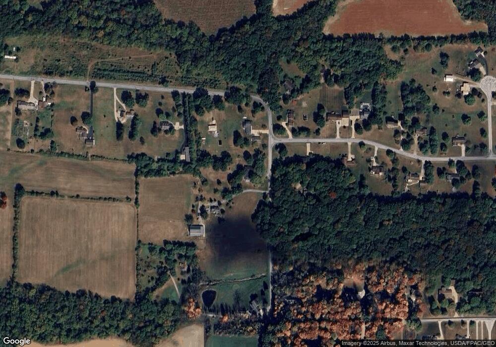
Map
Nearby Homes
- 4974 E Lincoln Way
- 314 Kountz Dr
- 311 Valley View Dr
- 3299 Crestview Dr
- 1474 N Honeytown Rd
- 660 Millborne Rd
- 3065 Dover Rd
- 3419 Fredericksburg Rd
- 115 Cemetery St
- 2630 Bauman Dr
- 339 Villard St
- 132 Villard St
- 2632 Peach Ln
- 1045 Pittsburgh Ave
- 1718 Armadale Isle
- 8191 Back Orrville Rd
- 920 Washington St
- 938 Washington St
- 606 E Henry St
- 1552 Renwood Dr
- 5727 Secrest Rd
- 5829 Secrest Rd
- 5687 Secrest Rd
- 6045 Chestnut Ridge Dr
- 5908 Secrest Rd
- 5917 Secrest Rd
- 5818 Secrest Rd
- 5964 Secrest Rd
- 5794 Secrest Rd
- 5770 Secrest Rd
- 6105 Chestnut Ridge Dr
- 6041 Secrest Rd
- 6090 Chestnut Ridge Dr
- 5932 Secrest Rd
- 5631 Secrest Rd
- 6080 Secrest Rd
- 6039 Secrest Rd
- 6145 Chestnut Ridge Dr
- 6126 Chestnut Ridge Dr
- 6120 Secrest Rd
Your Personal Tour Guide
Ask me questions while you tour the home.