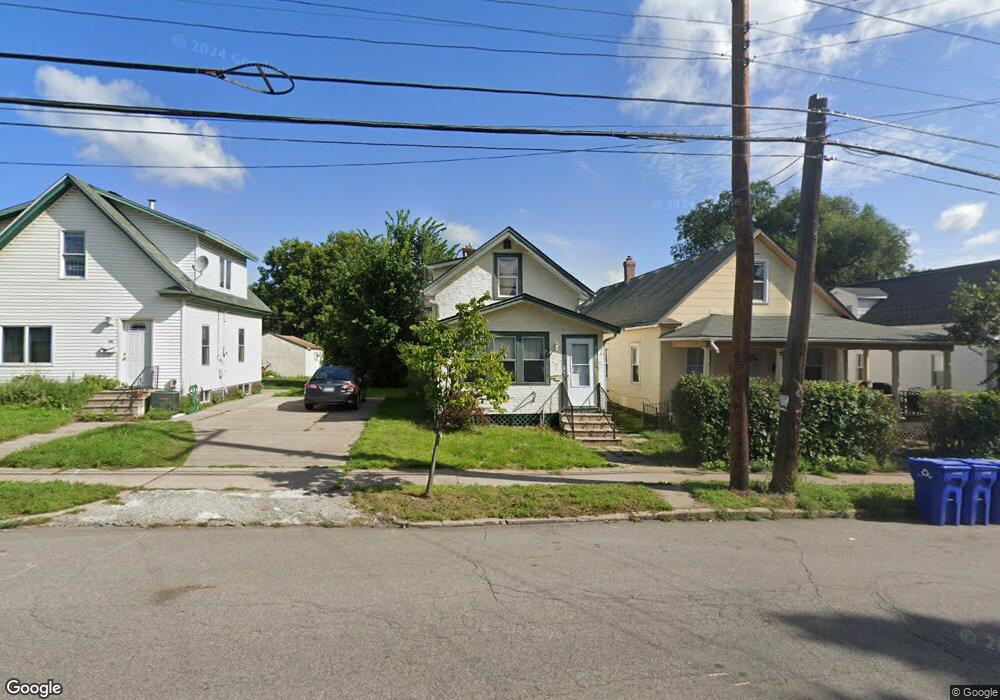
589 Front Ave Saint Paul, MN 55117
North End NeighborhoodEstimated Value: $193,000 - $232,000
3
Beds
1
Bath
1,008
Sq Ft
$208/Sq Ft
Est. Value
About This Home
This home is located at 589 Front Ave, Saint Paul, MN 55117 and is currently estimated at $210,125, approximately $208 per square foot. 589 Front Ave is a home located in Ramsey County with nearby schools including Como Park Elementary School, Murray Middle School, and Como Park Senior High School.
Ownership History
Date
Name
Owned For
Owner Type
Purchase Details
Closed on
Dec 12, 2023
Sold by
Del Co Limited Partnership
Bought by
Mcdowell Detavius
Current Estimated Value
Purchase Details
Closed on
Jan 30, 2017
Sold by
Del Co Limited Partnership
Bought by
Patton Dammon Marlo
Purchase Details
Closed on
Aug 20, 2014
Sold by
Padelford Richard J and Padelford Victoria J
Bought by
Del Co Limited Partnership
Create a Home Valuation Report for This Property
The Home Valuation Report is an in-depth analysis detailing your home's value as well as a comparison with similar homes in the area
Home Values in the Area
Average Home Value in this Area
Purchase History
We collect this data history from publicly available records. To have your information removed, we recommend requesting removal directly through your county’s website.
| Date | Buyer | Sale Price | Title Company |
|---|---|---|---|
| Mcdowell Detavius | $229,900 | -- | |
| Patton Dammon Marlo | $115,000 | None Available | |
| Del Co Limited Partnership | $37,090 | Arden Title Llc |
Source: Public Records
Tax History
| Year | Tax Paid | Tax Assessment Tax Assessment Total Assessment is a certain percentage of the fair market value that is determined by local assessors to be the total taxable value of land and additions on the property. | Land | Improvement |
|---|---|---|---|---|
| 2025 | $3,154 | $191,100 | $25,000 | $166,100 |
| 2023 | $3,154 | $157,900 | $20,000 | $137,900 |
| 2022 | $2,936 | $154,700 | $20,000 | $134,700 |
| 2021 | $2,566 | $141,100 | $20,000 | $121,100 |
| 2020 | $2,514 | $132,200 | $6,800 | $125,400 |
| 2019 | $1,608 | $120,700 | $6,800 | $113,900 |
| 2018 | $1,292 | $98,300 | $6,800 | $91,500 |
| 2017 | $1,008 | $93,100 | $6,800 | $86,300 |
| 2016 | $896 | $0 | $0 | $0 |
| 2015 | $580 | $60,200 | $6,800 | $53,400 |
| 2014 | $1,598 | $0 | $0 | $0 |
Source: Public Records
Map
Nearby Homes
- 593 Front Ave
- 571 Front Ave
- 352 Como Ave
- 1048 Dale St N
- 1070 Dale St N
- 1103 Loeb St
- 1008 Grotto St N
- 740 Como Ave
- 1104 MacKubin St
- 998 Jameson St
- 397 Burgess St
- 1044 Cumberland St
- 925 Western Ave N
- 990 Como Place
- 952 Western Ave N
- 1087 Western Ave N
- 741 Pierce Butler Route
- 1051 Virginia St
- 342 Front Ave
- 1055 Virginia St
Your Personal Tour Guide
Ask me questions while you tour the home.