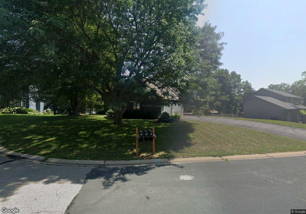
589 Prairie Cir W Saint Paul, MN 55123
Estimated Value: $554,000 - $585,000
4
Beds
4
Baths
2,087
Sq Ft
$272/Sq Ft
Est. Value
About This Home
This home is located at 589 Prairie Cir W, Saint Paul, MN 55123 and is currently estimated at $567,569, approximately $271 per square foot. 589 Prairie Cir W is a home located in Dakota County with nearby schools including Pinewood Elementary School, Dakota Hills Middle School, and Eagan Senior High School.
Ownership History
Date
Name
Owned For
Owner Type
Purchase Details
Closed on
Jul 2, 2019
Sold by
Akerson Elizabeth A and Akerson Joseph L
Bought by
Tibesar Todd and Tibesar Anna C
Current Estimated Value
Home Financials for this Owner
Home Financials are based on the most recent Mortgage that was taken out on this home.
Original Mortgage
$327,760
Outstanding Balance
$287,147
Interest Rate
3.82%
Mortgage Type
New Conventional
Estimated Equity
$280,422
Purchase Details
Closed on
Jul 19, 2007
Sold by
Dawson William A and Dawson Ila S
Bought by
Akerson Joseph L and Akerson Elizabeth A
Home Financials for this Owner
Home Financials are based on the most recent Mortgage that was taken out on this home.
Original Mortgage
$258,500
Interest Rate
6.69%
Mortgage Type
New Conventional
Purchase Details
Closed on
Jun 14, 2004
Sold by
Miles Ronald E and Miles Joyce E
Bought by
Dawson William A and Dawson Ila
Create a Home Valuation Report for This Property
The Home Valuation Report is an in-depth analysis detailing your home's value as well as a comparison with similar homes in the area
Home Values in the Area
Average Home Value in this Area
Purchase History
| Date | Buyer | Sale Price | Title Company |
|---|---|---|---|
| Tibesar Todd | $409,700 | Burnet Title | |
| Akerson Joseph L | $335,000 | -- | |
| Dawson William A | $367,000 | -- |
Source: Public Records
Mortgage History
| Date | Status | Borrower | Loan Amount |
|---|---|---|---|
| Open | Tibesar Todd | $327,760 | |
| Previous Owner | Akerson Joseph L | $258,500 |
Source: Public Records
Tax History Compared to Growth
Tax History
| Year | Tax Paid | Tax Assessment Tax Assessment Total Assessment is a certain percentage of the fair market value that is determined by local assessors to be the total taxable value of land and additions on the property. | Land | Improvement |
|---|---|---|---|---|
| 2024 | $5,434 | $521,400 | $108,600 | $412,800 |
| 2023 | $5,434 | $500,300 | $108,900 | $391,400 |
| 2022 | $4,820 | $482,000 | $108,700 | $373,300 |
| 2021 | $4,468 | $428,600 | $94,500 | $334,100 |
| 2020 | $4,562 | $389,300 | $90,000 | $299,300 |
| 2019 | $4,345 | $386,900 | $85,700 | $301,200 |
| 2018 | $3,944 | $388,100 | $81,600 | $306,500 |
| 2017 | $4,160 | $344,000 | $77,800 | $266,200 |
| 2016 | $4,196 | $333,500 | $74,000 | $259,500 |
| 2015 | $4,205 | $325,948 | $72,389 | $253,559 |
| 2014 | -- | $331,943 | $70,564 | $261,379 |
| 2013 | -- | $285,727 | $63,066 | $222,661 |
Source: Public Records
Map
Nearby Homes
- 4072 Prairie Ridge Rd
- 591 Autumn Oaks Ct
- 3998 Haven Woods Ct
- 4001 Haven Woods Ct
- 711 Stonebridge Cir
- 593 Coventry Pkwy
- 4080 Camberwell Dr N
- 680 Brockton Curve
- 9451 Esk Ln
- 699 Calvin Ct
- 4027 Camberwell Dr N
- 4358 Yorktown Dr
- 782 Summerbrooke Ct
- 790 Summerbrooke Ct
- 4231 Yorktown Dr
- 9151 Tyne Ln
- 9258 Tyne Ln
- 785 Canter Glen Cir
- 4125 Pennsylvania Ave
- 4274 Maclaren Place
- 585 Prairie Cir W
- 4139 Prairie Ridge Rd
- 593 Prairie Cir W
- 4135 Prairie Ridge Rd
- 592 Prairie Cir W
- 588 Prairie Cir W
- 597 Prairie Cir W
- 4131 Prairie Ridge Rd
- 596 Prairie Cir W
- 584 Prairie Cir W
- 600 Prairie Cir W
- 4127 Prairie Ridge Rd
- 583 Prairie Cir E
- 4150 Lantern Ln
- 4154 Lantern Ln
- 4146 Lantern Ln
- 4140 Prairie Ridge Rd
- 4136 Prairie Ridge Rd
- 4132 Prairie Ridge Rd
- 579 Prairie Cir E