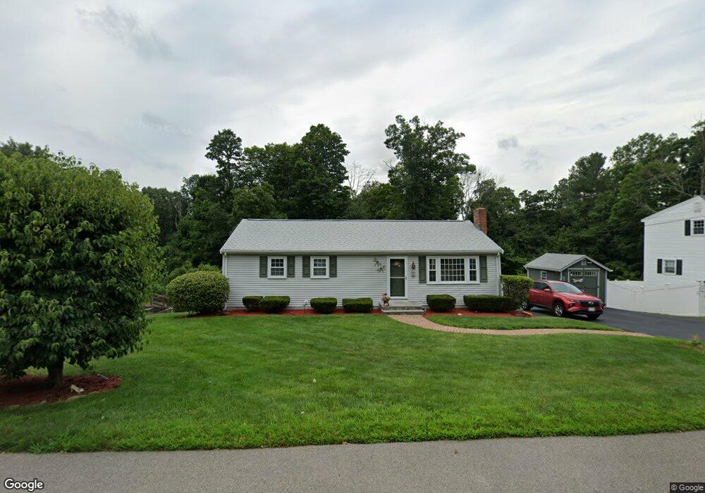
59 Bowdoin Dr Milford, MA 01757
Estimated Value: $512,244 - $565,000
3
Beds
2
Baths
1,144
Sq Ft
$466/Sq Ft
Est. Value
About This Home
This home is located at 59 Bowdoin Dr, Milford, MA 01757 and is currently estimated at $532,811, approximately $465 per square foot. 59 Bowdoin Dr is a home located in Worcester County with nearby schools including Milford High School.
Ownership History
Date
Name
Owned For
Owner Type
Purchase Details
Closed on
Dec 8, 2015
Sold by
Lyons George R and Lyons Diane
Bought by
Arena Anthony and Dupre-Arena Roxanne
Current Estimated Value
Home Financials for this Owner
Home Financials are based on the most recent Mortgage that was taken out on this home.
Original Mortgage
$222,000
Outstanding Balance
$177,648
Interest Rate
3.83%
Mortgage Type
New Conventional
Estimated Equity
$355,163
Purchase Details
Closed on
Dec 1, 1994
Sold by
Fhlmc
Bought by
Lyons George R and Lyons Mary
Purchase Details
Closed on
Sep 21, 1994
Sold by
Gonzalez Francisco and Federal Home Loan Mortgage Cor
Bought by
Fhlmc
Purchase Details
Closed on
Nov 29, 1990
Sold by
Allen Daniel C
Bought by
Gonzalez Franciso
Purchase Details
Closed on
Feb 24, 1987
Sold by
Weinstein Robert M
Bought by
Allen Daniel C
Create a Home Valuation Report for This Property
The Home Valuation Report is an in-depth analysis detailing your home's value as well as a comparison with similar homes in the area
Home Values in the Area
Average Home Value in this Area
Purchase History
| Date | Buyer | Sale Price | Title Company |
|---|---|---|---|
| Arena Anthony | $247,000 | -- | |
| Lyons George R | $115,000 | -- | |
| Fhlmc | $166,629 | -- | |
| Gonzalez Franciso | $146,000 | -- | |
| Allen Daniel C | $139,500 | -- |
Source: Public Records
Mortgage History
| Date | Status | Borrower | Loan Amount |
|---|---|---|---|
| Open | Arena Anthony | $222,000 | |
| Previous Owner | Allen Daniel C | $146,000 | |
| Previous Owner | Allen Daniel C | $147,500 |
Source: Public Records
Tax History Compared to Growth
Tax History
| Year | Tax Paid | Tax Assessment Tax Assessment Total Assessment is a certain percentage of the fair market value that is determined by local assessors to be the total taxable value of land and additions on the property. | Land | Improvement |
|---|---|---|---|---|
| 2025 | $5,467 | $427,100 | $180,000 | $247,100 |
| 2024 | $5,293 | $398,300 | $172,800 | $225,500 |
| 2023 | $5,016 | $347,100 | $144,000 | $203,100 |
| 2022 | $4,806 | $312,300 | $133,200 | $179,100 |
| 2021 | $4,663 | $291,800 | $133,200 | $158,600 |
| 2020 | $4,389 | $275,000 | $133,200 | $141,800 |
| 2019 | $4,307 | $260,400 | $133,200 | $127,200 |
| 2018 | $4,082 | $246,500 | $127,800 | $118,700 |
| 2017 | $3,939 | $234,600 | $127,800 | $106,800 |
| 2016 | $3,948 | $229,800 | $127,800 | $102,000 |
| 2015 | $3,961 | $225,700 | $122,400 | $103,300 |
Source: Public Records
Map
Nearby Homes
- 5 Stanford Cir
- 8 Vassar Dr
- 94 Highland St
- 14 C Country Club Ln
- 20 Senate Rd
- 33 Country Club Ln Unit D
- 14 Country Club Ln Unit C
- 8 Country Club Ln Unit B
- 8 Colonial Rd
- 9 Hancock St
- 0 West St
- 250 Congress St
- 62 Field Pond Rd
- 1 Godfrey Ln Unit 1
- 76 Jones Rd
- 175 West St
- 13 Hemlock Ln
- 54 Village Cir Unit 54
- 130 Dutcher St
- 15 Tammie Rd