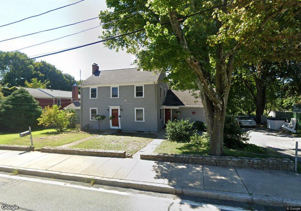
59 Bullocks Point Ave Riverside, RI 02915
Riverside NeighborhoodEstimated Value: $522,000 - $747,000
4
Beds
3
Baths
2,702
Sq Ft
$219/Sq Ft
Est. Value
About This Home
This home is located at 59 Bullocks Point Ave, Riverside, RI 02915 and is currently estimated at $591,486, approximately $218 per square foot. 59 Bullocks Point Ave is a home located in Providence County with nearby schools including East Providence High School, St Mary Academy-Bay View, and The Gordon School.
Ownership History
Date
Name
Owned For
Owner Type
Purchase Details
Closed on
Nov 15, 2024
Sold by
James Richard H and James Gail R
Bought by
Richard and Richard Gail J
Current Estimated Value
Purchase Details
Closed on
Jul 30, 2004
Sold by
Andrews Kimberly
Bought by
James Richard and Mailhot Gail
Create a Home Valuation Report for This Property
The Home Valuation Report is an in-depth analysis detailing your home's value as well as a comparison with similar homes in the area
Home Values in the Area
Average Home Value in this Area
Purchase History
| Date | Buyer | Sale Price | Title Company |
|---|---|---|---|
| Richard | -- | None Available | |
| James Richard | $390,000 | -- | |
| James Richard | $390,000 | -- |
Source: Public Records
Mortgage History
| Date | Status | Borrower | Loan Amount |
|---|---|---|---|
| Previous Owner | James Richard | $40,000 | |
| Previous Owner | James Richard | $222,000 | |
| Previous Owner | James Richard | $166,000 |
Source: Public Records
Tax History Compared to Growth
Tax History
| Year | Tax Paid | Tax Assessment Tax Assessment Total Assessment is a certain percentage of the fair market value that is determined by local assessors to be the total taxable value of land and additions on the property. | Land | Improvement |
|---|---|---|---|---|
| 2025 | $6,527 | $499,400 | $113,200 | $386,200 |
| 2024 | $6,544 | $426,900 | $94,300 | $332,600 |
| 2023 | $6,301 | $426,900 | $94,300 | $332,600 |
| 2022 | $7,157 | $327,400 | $83,100 | $244,300 |
| 2021 | $7,039 | $327,400 | $81,900 | $245,500 |
| 2020 | $6,741 | $327,400 | $81,900 | $245,500 |
| 2019 | $6,555 | $327,400 | $81,900 | $245,500 |
| 2018 | $6,866 | $300,100 | $88,900 | $211,200 |
| 2017 | $6,713 | $300,100 | $88,900 | $211,200 |
| 2016 | $6,680 | $300,100 | $88,900 | $211,200 |
| 2015 | $6,919 | $301,500 | $73,100 | $228,400 |
| 2014 | $6,919 | $301,500 | $73,100 | $228,400 |
Source: Public Records
Map
Nearby Homes
- 43 Bullocks Point Ave Unit 4C
- 25 Bullocks Point Ave Unit 5C
- 31 Bullocks Point Ave Unit 2A
- 1 Fales St
- 6 Fuller Ave
- 3421 Pawtucket Ave
- 151 Willett Ave Unit 2
- 151 Willett Ave Unit 5
- 81 Sprague Ave
- 25 Arnold St
- 88 Lincoln Ave
- 17 Oak Ave
- 57 Harris St
- 33 Pine St Unit 35
- 1 Holly St
- 129 Cedar Ave
- 25 Read St
- 87 Bluff St
- 93 Narragansett Ave
- 536 Willett Ave
- 55 Bullocks Point Ave
- 65 Bullocks Point Ave
- 54 Bullocks Point Ave
- 58 Bullocks Point Ave
- 50 Bullocks Point Ave
- 0 Willett Ave
- 62 Bullocks Point Ave
- 53 Bullocks Point Ave
- 47 Bullocks Point Ave
- 66 Bullocks Point Ave
- 68 Bullocks Point Ave Unit 70
- 3595 Pawtucket Ave
- 3591 Pawtucket Ave
- 3601 Pawtucket Ave
- 74 Bullocks Point Ave
- 3605 Pawtucket Ave
- 3553 3553 Pawtucket Ave
- 3553 Pawtucket Ave
- 37 Bullocks Point Ave Unit 1C
- 37 Bullocks Point Ave Unit 7C