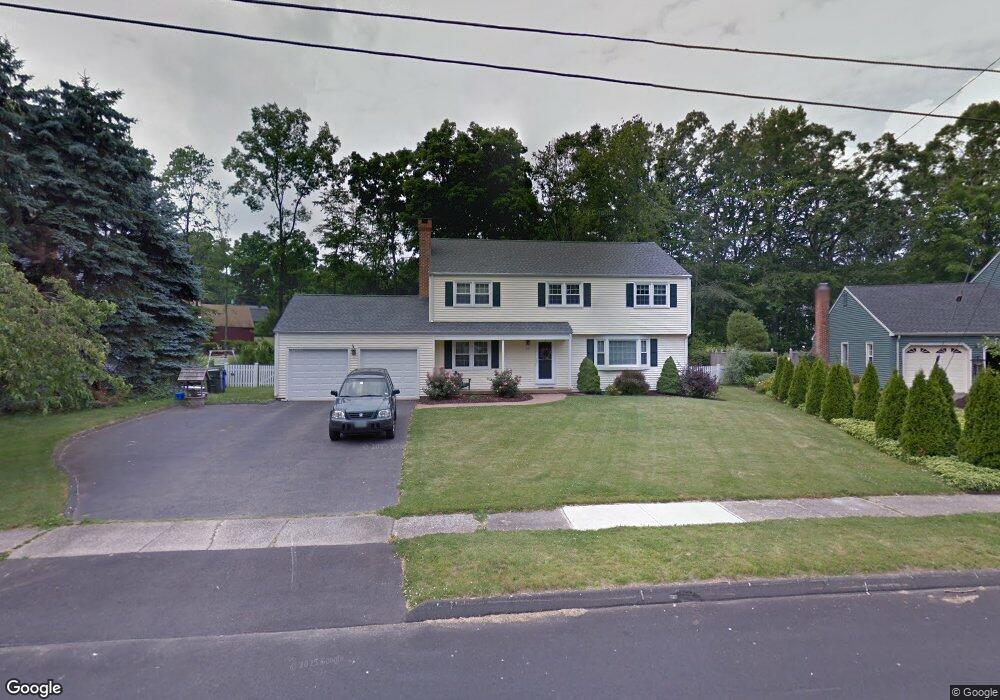
59 Desmond Dr Wethersfield, CT 06109
Estimated Value: $532,074 - $571,000
4
Beds
3
Baths
2,173
Sq Ft
$253/Sq Ft
Est. Value
About This Home
This home is located at 59 Desmond Dr, Wethersfield, CT 06109 and is currently estimated at $549,269, approximately $252 per square foot. 59 Desmond Dr is a home located in Hartford County with nearby schools including Samuel B. Webb Elementary School, Silas Deane Middle School, and Wethersfield High School.
Ownership History
Date
Name
Owned For
Owner Type
Purchase Details
Closed on
Oct 28, 2020
Sold by
Shannahan Christa A
Bought by
Gilland Michael and Gilland Kimberly
Current Estimated Value
Home Financials for this Owner
Home Financials are based on the most recent Mortgage that was taken out on this home.
Original Mortgage
$267,200
Outstanding Balance
$237,770
Interest Rate
2.8%
Mortgage Type
New Conventional
Estimated Equity
$311,499
Create a Home Valuation Report for This Property
The Home Valuation Report is an in-depth analysis detailing your home's value as well as a comparison with similar homes in the area
Home Values in the Area
Average Home Value in this Area
Purchase History
| Date | Buyer | Sale Price | Title Company |
|---|---|---|---|
| Gilland Michael | $334,000 | None Available |
Source: Public Records
Mortgage History
| Date | Status | Borrower | Loan Amount |
|---|---|---|---|
| Open | Gilland Michael | $267,200 |
Source: Public Records
Tax History Compared to Growth
Tax History
| Year | Tax Paid | Tax Assessment Tax Assessment Total Assessment is a certain percentage of the fair market value that is determined by local assessors to be the total taxable value of land and additions on the property. | Land | Improvement |
|---|---|---|---|---|
| 2025 | $12,110 | $293,800 | $103,880 | $189,920 |
| 2024 | $8,639 | $199,880 | $74,940 | $124,940 |
| 2023 | $8,351 | $199,880 | $74,940 | $124,940 |
| 2022 | $8,211 | $199,880 | $74,940 | $124,940 |
| 2021 | $8,129 | $199,880 | $74,940 | $124,940 |
| 2020 | $8,133 | $199,880 | $74,950 | $124,930 |
| 2019 | $8,143 | $199,880 | $74,950 | $124,930 |
| 2018 | $8,083 | $198,200 | $75,300 | $122,900 |
| 2017 | $7,882 | $198,200 | $75,300 | $122,900 |
| 2016 | $7,639 | $198,200 | $75,300 | $122,900 |
| 2015 | $7,569 | $198,200 | $75,300 | $122,900 |
| 2014 | $7,282 | $198,200 | $75,300 | $122,900 |
Source: Public Records
Map
Nearby Homes
- 268 Goff Rd
- 828 Wells Rd
- 47 Forest Dr
- 615 Ridge Rd
- 104 Willow St
- 15 Grass Bonnet Ln
- 219 Crest St
- 80 Cedar St
- 7 Barrington Dr Unit A
- 7 Barrington Dr Unit C
- 173 Timber Trail
- 9 Tanner Crossing Unit 9
- 38 Potter Crossing
- 481 Ridge Rd
- 841 Ridge Rd
- 35 Tinsmith Crossing Unit 35
- 75 Cider Brook Dr
- 20 Gracewell Rd
- 876 Ridge Rd
- 42 Schoolhouse Crossing