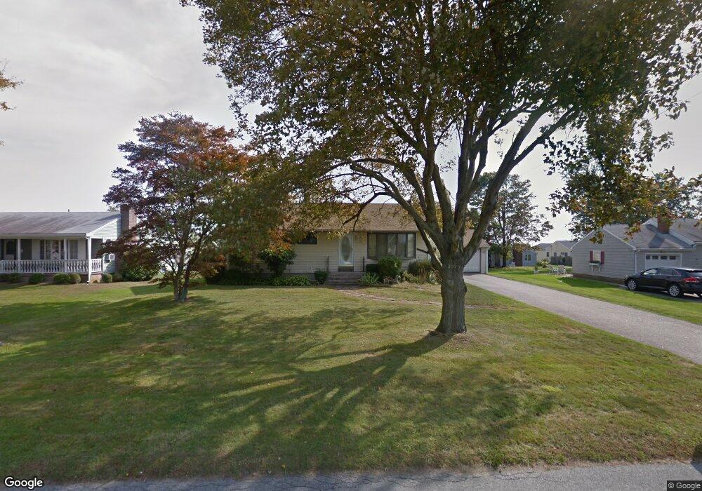
59 Honeyman Ave Middletown, RI 02842
Estimated Value: $634,342 - $774,000
3
Beds
1
Bath
1,118
Sq Ft
$624/Sq Ft
Est. Value
About This Home
This home is located at 59 Honeyman Ave, Middletown, RI 02842 and is currently estimated at $697,336, approximately $623 per square foot. 59 Honeyman Ave is a home located in Newport County with nearby schools including Middletown High School, All Saints STEAM Academy, and St George's School.
Ownership History
Date
Name
Owned For
Owner Type
Purchase Details
Closed on
Apr 8, 2022
Sold by
Reed Robert A and Reed Jonna M
Bought by
Kennefick Ryan P and Kennefick Stacy L
Current Estimated Value
Home Financials for this Owner
Home Financials are based on the most recent Mortgage that was taken out on this home.
Original Mortgage
$570,000
Outstanding Balance
$531,424
Interest Rate
3.89%
Mortgage Type
Purchase Money Mortgage
Estimated Equity
$165,912
Purchase Details
Closed on
May 22, 2018
Sold by
Winthrop Jean C Est and Wilbur
Bought by
Reed Robert A and Reed Jonna M
Purchase Details
Closed on
May 7, 2012
Sold by
Winthrop Jean C and Wilbur Ellen F
Bought by
Winthrop Jean C
Purchase Details
Closed on
Jul 28, 2011
Sold by
Winthrop Jean C
Bought by
Winthrop Jean C and Wilbur Ellen F
Create a Home Valuation Report for This Property
The Home Valuation Report is an in-depth analysis detailing your home's value as well as a comparison with similar homes in the area
Home Values in the Area
Average Home Value in this Area
Purchase History
| Date | Buyer | Sale Price | Title Company |
|---|---|---|---|
| Kennefick Ryan P | $600,000 | None Available | |
| Reed Robert A | $265,000 | -- | |
| Winthrop Jean C | -- | -- | |
| Winthrop Jean C | -- | -- |
Source: Public Records
Mortgage History
| Date | Status | Borrower | Loan Amount |
|---|---|---|---|
| Open | Kennefick Ryan P | $570,000 |
Source: Public Records
Tax History Compared to Growth
Tax History
| Year | Tax Paid | Tax Assessment Tax Assessment Total Assessment is a certain percentage of the fair market value that is determined by local assessors to be the total taxable value of land and additions on the property. | Land | Improvement |
|---|---|---|---|---|
| 2025 | $6,091 | $516,600 | $364,000 | $152,600 |
| 2024 | $5,817 | $516,600 | $364,000 | $152,600 |
| 2023 | $4,049 | $321,600 | $204,200 | $117,400 |
| 2022 | $3,866 | $321,600 | $204,200 | $117,400 |
| 2021 | $3,866 | $321,600 | $204,200 | $117,400 |
| 2020 | $3,693 | $268,400 | $151,000 | $117,400 |
| 2018 | $3,691 | $268,400 | $151,000 | $117,400 |
| 2016 | $3,675 | $238,300 | $126,600 | $111,700 |
| 2015 | $3,584 | $238,300 | $126,600 | $111,700 |
| 2014 | $3,580 | $222,800 | $115,100 | $107,700 |
| 2013 | $3,500 | $222,800 | $115,100 | $107,700 |
Source: Public Records
Map
Nearby Homes
- 0 Honeyman Ave
- 476 Green End Ave
- 318 Corey Ln
- 310 Corey Ln
- 223 Corey Ln
- 119 Corey Ln
- 55 John Clarke Rd Unit 8
- 55 John Clarke Rd Unit 3
- 980 Green End Ave
- 0 Wolcott Ave
- 138 Green End Ave
- 6 Wabasso Terrace
- 74 Valley Rd
- 202 Reservoir Rd
- 118 Wolcott Ave
- 203 N Fenner Ave Unit 5
- 0 Saltwood Dr
- 16 Sachuest Dr
- 1 Shangri-La Ln
- 65 Seascape Ave