Estimated Value: $250,860 - $491,000
1
Bed
--
Bath
352
Sq Ft
$955/Sq Ft
Est. Value
About This Home
This home is located at 59 Kansas Hill Rd, Lyons, CO 80540 and is currently estimated at $336,215, approximately $955 per square foot. 59 Kansas Hill Rd is a home located in Boulder County with nearby schools including Lyons Elementary School and Lyons Middle/Senior High School.
Ownership History
Date
Name
Owned For
Owner Type
Purchase Details
Closed on
Feb 3, 1999
Sold by
Small Thomas M and Small Regena M
Bought by
Small Thomas Morris and The Thomas Morris Small Living Trust
Current Estimated Value
Purchase Details
Closed on
Feb 4, 1982
Bought by
Small Thomas Morris Living Trust
Purchase Details
Closed on
Jul 1, 1971
Bought by
Small Thomas Morris Living Trust
Purchase Details
Closed on
Aug 3, 1948
Bought by
Small Thomas Morris Living Trust
Create a Home Valuation Report for This Property
The Home Valuation Report is an in-depth analysis detailing your home's value as well as a comparison with similar homes in the area
Home Values in the Area
Average Home Value in this Area
Purchase History
| Date | Buyer | Sale Price | Title Company |
|---|---|---|---|
| Small Thomas Morris | -- | -- | |
| Small Thomas Morris Living Trust | $10,000 | -- | |
| Small Thomas Morris Living Trust | $1,500 | -- | |
| Small Thomas Morris Living Trust | -- | -- |
Source: Public Records
Tax History Compared to Growth
Tax History
| Year | Tax Paid | Tax Assessment Tax Assessment Total Assessment is a certain percentage of the fair market value that is determined by local assessors to be the total taxable value of land and additions on the property. | Land | Improvement |
|---|---|---|---|---|
| 2025 | $666 | $9,888 | $1,625 | $8,263 |
| 2024 | $666 | $9,888 | $1,625 | $8,263 |
| 2023 | $656 | $7,504 | $1,199 | $9,990 |
| 2022 | $681 | $7,395 | $1,244 | $6,151 |
| 2021 | $689 | $7,608 | $1,280 | $6,328 |
| 2020 | $665 | $7,365 | $1,931 | $5,434 |
| 2019 | $654 | $7,365 | $1,931 | $5,434 |
| 2018 | $587 | $6,667 | $2,160 | $4,507 |
| 2017 | $581 | $7,371 | $2,388 | $4,983 |
| 2016 | $564 | $6,361 | $2,627 | $3,734 |
| 2015 | $535 | $5,333 | $796 | $4,537 |
| 2014 | $461 | $5,333 | $796 | $4,537 |
Source: Public Records
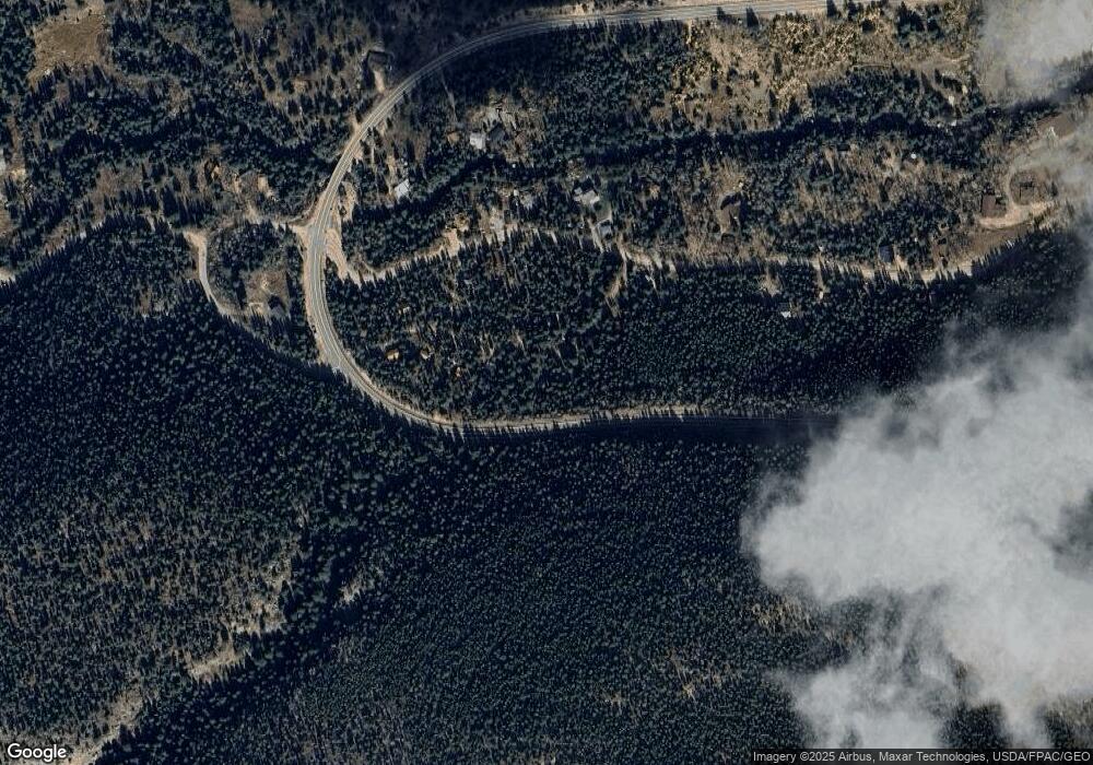
Map
Nearby Homes
- 0 Pine Cone Cir Unit REC9444416
- 0 Pine Cone Cir Unit RECIR1037889
- 46525 Highway 72
- 3154 Riverside Dr
- 1115 County Road 100
- 2426 Riverside Dr
- 0 Rock Lake Rd Unit 12 REC6560566
- 2248 Riverside Dr
- 84 Ranch Rd
- 575 Ranch Rd
- 190 Hard Way
- 24 Hickok Trail
- 398 Overland Dr
- 470 Big John Rd
- 839 Ski Rd
- 254 Arrowood Dr
- 357 Big John Rd
- 57 Nelson St
- 104 Utica St
- 51 Nelson St
- 73 Kansas Hill Rd
- 60 Kansas Hill Rd
- 58 Kansas Hill Rd
- 77 Kansas Hill Rd
- 30 Kansas Hill Rd
- 39 Kansas Hill Rd
- 110 Peaceful Valley Rd
- 78 Peaceful Valley Rd
- 97 Kansas Hill Rd
- 52 Peaceful Valley Rd
- 9 Kansas Hill Rd
- 101 Kansas Hill Rd
- 32 Peaceful Valley Rd
- 111 Peaceful Valley Rd
- 103 Peaceful Valley Rd
- 155 Peaceful Valley Rd
- 83 Peaceful Valley Rd
- 24 Peaceful Valley Rd
- 50087 State Highway 72
- 25 Peaceful Valley Rd