Estimated Value: $528,000 - $566,000
3
Beds
3
Baths
2,388
Sq Ft
$229/Sq Ft
Est. Value
About This Home
This home is located at 59 Maplewold Rd, Weare, NH 03281 and is currently estimated at $546,379, approximately $228 per square foot. 59 Maplewold Rd is a home with nearby schools including Center Woods Elementary School, Weare Middle School, and John Stark Regional High School.
Ownership History
Date
Name
Owned For
Owner Type
Purchase Details
Closed on
Jun 23, 2004
Sold by
Therrien Timothy J and Therrien Christine N
Bought by
Lavertu Susan and Lavertu David E
Current Estimated Value
Home Financials for this Owner
Home Financials are based on the most recent Mortgage that was taken out on this home.
Original Mortgage
$212,800
Interest Rate
6.32%
Mortgage Type
Purchase Money Mortgage
Create a Home Valuation Report for This Property
The Home Valuation Report is an in-depth analysis detailing your home's value as well as a comparison with similar homes in the area
Home Values in the Area
Average Home Value in this Area
Purchase History
| Date | Buyer | Sale Price | Title Company |
|---|---|---|---|
| Lavertu Susan | $266,000 | -- |
Source: Public Records
Mortgage History
| Date | Status | Borrower | Loan Amount |
|---|---|---|---|
| Open | Lavertu Susan | $202,033 | |
| Closed | Lavertu Susan | $61,000 | |
| Closed | Lavertu Susan | $212,800 |
Source: Public Records
Tax History
| Year | Tax Paid | Tax Assessment Tax Assessment Total Assessment is a certain percentage of the fair market value that is determined by local assessors to be the total taxable value of land and additions on the property. | Land | Improvement |
|---|---|---|---|---|
| 2025 | $7,154 | $330,600 | $95,900 | $234,700 |
| 2024 | $6,741 | $330,600 | $95,900 | $234,700 |
| 2023 | $6,229 | $330,600 | $95,900 | $234,700 |
| 2022 | $5,752 | $330,600 | $95,900 | $234,700 |
| 2021 | $5,648 | $328,400 | $95,900 | $232,500 |
| 2020 | $5,336 | $222,800 | $67,500 | $155,300 |
| 2019 | $5,368 | $226,400 | $67,500 | $158,900 |
| 2018 | $5,214 | $226,400 | $67,500 | $158,900 |
| 2016 | $5,065 | $226,400 | $67,500 | $158,900 |
| 2015 | $5,085 | $226,900 | $67,400 | $159,500 |
| 2014 | $4,997 | $225,000 | $67,400 | $157,600 |
| 2013 | $4,894 | $225,000 | $67,400 | $157,600 |
Source: Public Records
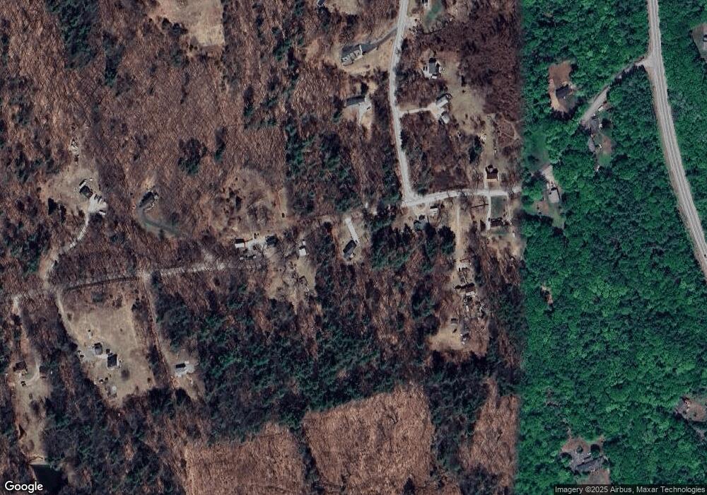
Map
Nearby Homes
- 25 Mount Dearborn Rd
- 733 S Stark Hwy
- 15 Peacock Hill Rd
- 415 Flanders Memorial Rd
- 624 S Stark Hwy
- 281 Hodgdon Rd
- 34 New Rd
- 103 Renshaw Rd
- 49 Oak Ridge Rd
- 96 Bart Clough Rd
- 69 Peaslee Hill Rd
- 0 Eastman Way
- 24 Etta Ln Unit 3
- 132 Dustin Tavern Rd
- 0 Huntington Hill Rd Unit 69
- 30 Dels Way
- 849 River Rd
- 1583 River Rd
- 93 Daniels Rd
- 42 Rockland Rd
- 69 Maplewold Rd
- 72 Maplewold Rd
- 37 Maplewold Rd
- 56 Maplewold Rd
- 35 Maplewold Rd
- 36 Maplewold Rd
- 14 Orchard Path Rd
- 25 Orchard Path Rd
- 22 Orchard Path Rd
- 93 Maplewold Rd
- 27 Maplewold Rd
- 22 Maplewold Rd
- 37 Orchard Path Rd
- 11 Maplewold Rd
- 107 Maplewold Rd
- 34 Orchard Path Rd
- 110 Maplewold Rd
- 40 Orchard Path Rd
- 185 Irving Dr Unit A
- 185 Irving Dr Unit B
Your Personal Tour Guide
Ask me questions while you tour the home.