59 Moody Brook Rd Stoneham, ME 04231
Estimated Value: $136,000 - $311,507
--
Bed
--
Bath
--
Sq Ft
2.07
Acres
About This Home
This home is located at 59 Moody Brook Rd, Stoneham, ME 04231 and is currently estimated at $251,377. 59 Moody Brook Rd is a home with nearby schools including New Suncook School, Molly Ockett School, and Molly Ockett Middle School.
Ownership History
Date
Name
Owned For
Owner Type
Purchase Details
Closed on
May 15, 2020
Sold by
Jones Corey M
Bought by
Jones Corey M and Jones Sarah E
Current Estimated Value
Home Financials for this Owner
Home Financials are based on the most recent Mortgage that was taken out on this home.
Original Mortgage
$100,000
Interest Rate
3.3%
Mortgage Type
Stand Alone Refi Refinance Of Original Loan
Create a Home Valuation Report for This Property
The Home Valuation Report is an in-depth analysis detailing your home's value as well as a comparison with similar homes in the area
Home Values in the Area
Average Home Value in this Area
Purchase History
| Date | Buyer | Sale Price | Title Company |
|---|---|---|---|
| Jones Corey M | -- | None Available | |
| Jones Corey M | -- | None Available |
Source: Public Records
Mortgage History
| Date | Status | Borrower | Loan Amount |
|---|---|---|---|
| Previous Owner | Jones Corey M | $100,000 |
Source: Public Records
Tax History Compared to Growth
Tax History
| Year | Tax Paid | Tax Assessment Tax Assessment Total Assessment is a certain percentage of the fair market value that is determined by local assessors to be the total taxable value of land and additions on the property. | Land | Improvement |
|---|---|---|---|---|
| 2024 | $1,427 | $222,972 | $62,187 | $160,785 |
| 2023 | $1,490 | $204,165 | $56,534 | $147,631 |
| 2022 | $1,744 | $197,564 | $51,395 | $146,169 |
| 2021 | $1,857 | $197,564 | $51,395 | $146,169 |
| 2020 | $1,857 | $197,564 | $51,395 | $146,169 |
| 2019 | $1,774 | $197,564 | $51,395 | $146,169 |
| 2018 | $1,691 | $197,564 | $51,395 | $146,169 |
| 2017 | $1,691 | $197,564 | $51,395 | $146,169 |
| 2016 | $1,691 | $197,564 | $51,395 | $146,169 |
| 2014 | $1,541 | $197,564 | $51,395 | $146,169 |
Source: Public Records
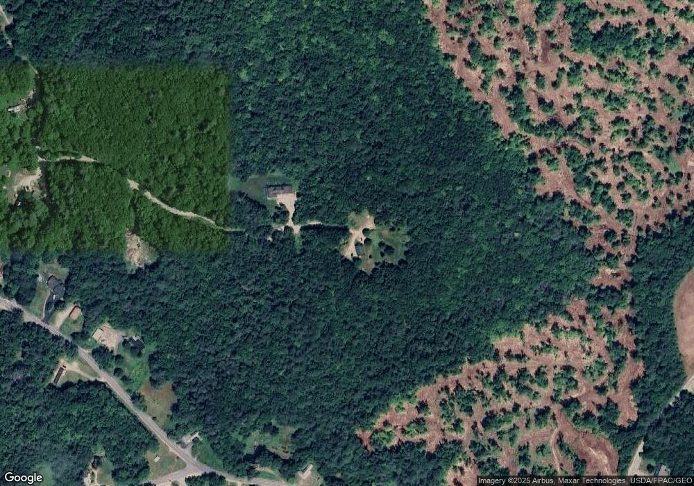
Map
Nearby Homes
- Lot 5 Mine Rd
- Lot 10 Mine Rd
- Lot 2 Mine Rd
- Lot 11 Mine Rd
- Lot 4 Mine Rd
- Lot 137.25 French Hill Rd
- 328 French Hill Rd
- 0 French Hill Rd Unit 1646476
- 20 Virginia Lake Rd
- 1047 Valley Rd
- 14 Norway Rd
- 546 Sawin Hill Rd
- 41 Dundee Rd
- 66 Bisbee Town Rd
- 545 Sawin Hill Rd Rd
- 16 Forgotten Alley Dr
- 86 Irving Green Rd
- 573 Valley Rd
- 0 Sabattus Trail Rd Unit 1617555
- 0 Hawk Meadow Rd Unit 1615700