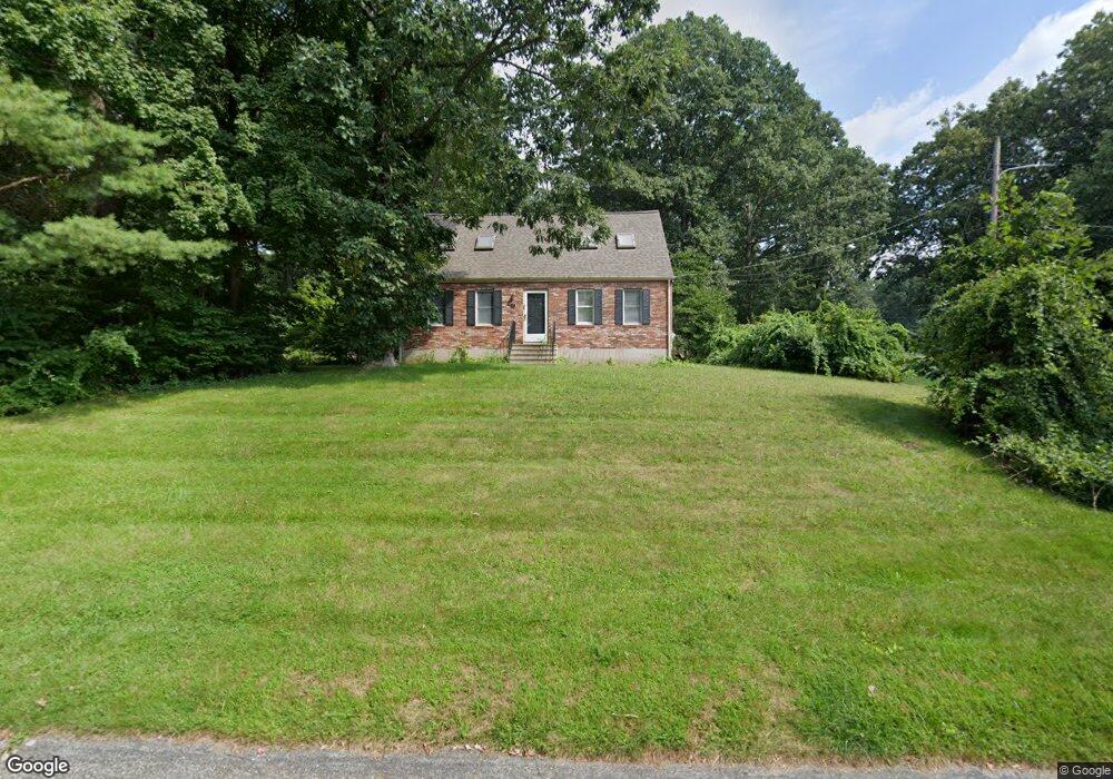
59 Phyllis Ln Franklin, MA 02038
Estimated Value: $614,872 - $691,000
3
Beds
2
Baths
1,512
Sq Ft
$428/Sq Ft
Est. Value
About This Home
This home is located at 59 Phyllis Ln, Franklin, MA 02038 and is currently estimated at $647,218, approximately $428 per square foot. 59 Phyllis Ln is a home located in Norfolk County with nearby schools including John F. Kennedy Memorial School, Horace Mann Middle School, and Franklin High School.
Ownership History
Date
Name
Owned For
Owner Type
Purchase Details
Closed on
Oct 11, 2016
Sold by
Walker Ellen M
Bought by
Ellen Mwalker Ret 2016
Current Estimated Value
Purchase Details
Closed on
Aug 29, 1997
Sold by
Wolf William M
Bought by
Walker John D and Walker Ellen M
Home Financials for this Owner
Home Financials are based on the most recent Mortgage that was taken out on this home.
Original Mortgage
$140,550
Interest Rate
7.41%
Mortgage Type
Purchase Money Mortgage
Purchase Details
Closed on
Apr 29, 1994
Sold by
Goller Steven D and Goller Pamela S
Bought by
Wolf William M
Home Financials for this Owner
Home Financials are based on the most recent Mortgage that was taken out on this home.
Original Mortgage
$163,350
Interest Rate
7.7%
Mortgage Type
Purchase Money Mortgage
Create a Home Valuation Report for This Property
The Home Valuation Report is an in-depth analysis detailing your home's value as well as a comparison with similar homes in the area
Purchase History
| Date | Buyer | Sale Price | Title Company |
|---|---|---|---|
| Ellen Mwalker Ret 2016 | -- | -- | |
| Walker John D | $187,450 | -- | |
| Wolf William M | $172,000 | -- |
Source: Public Records
Mortgage History
| Date | Status | Borrower | Loan Amount |
|---|---|---|---|
| Previous Owner | Walker John D | $159,000 | |
| Previous Owner | Walker John D | $140,550 | |
| Previous Owner | Wolf William M | $163,350 | |
| Previous Owner | Walker John D | $90,000 |
Source: Public Records
Tax History
| Year | Tax Paid | Tax Assessment Tax Assessment Total Assessment is a certain percentage of the fair market value that is determined by local assessors to be the total taxable value of land and additions on the property. | Land | Improvement |
|---|---|---|---|---|
| 2025 | $6,546 | $563,300 | $243,900 | $319,400 |
| 2024 | $6,264 | $531,300 | $243,900 | $287,400 |
| 2023 | $6,098 | $484,700 | $254,400 | $230,300 |
| 2022 | $5,803 | $413,000 | $210,200 | $202,800 |
| 2021 | $5,403 | $368,800 | $206,200 | $162,600 |
| 2020 | $5,459 | $376,200 | $221,600 | $154,600 |
| 2019 | $5,203 | $354,900 | $200,400 | $154,500 |
| 2018 | $5,104 | $348,400 | $210,000 | $138,400 |
| 2017 | $4,827 | $331,100 | $192,700 | $138,400 |
| 2016 | $4,743 | $327,100 | $205,600 | $121,500 |
| 2015 | $4,498 | $303,100 | $181,600 | $121,500 |
| 2014 | $4,231 | $292,800 | $171,300 | $121,500 |
Source: Public Records
Map
Nearby Homes
- 34 Schofield Dr
- 8 Riverstone Way
- 214 Conlyn Ave
- 29 Brookview Rd
- 25 Brookview Rd
- 404 Oak St
- 834-836 W Central St
- 5 Greenbriar Ln
- 1803 Franklin Crossing Rd Unit 1803
- 1801 Franklin Crossing Rd Unit 1801
- 602 Franklin Crossing Rd Unit 602
- 17 Pine St
- 78 Highwood Dr
- 41 Kimberlee Ave
- 6 Lydia Ln
- 58 Ray Ave
- 37 Hancock Rd
- 6 Pine Knoll Rd
- 24 Winthrop Dr
- 10 Emerson Way Unit 10
Your Personal Tour Guide
Ask me questions while you tour the home.