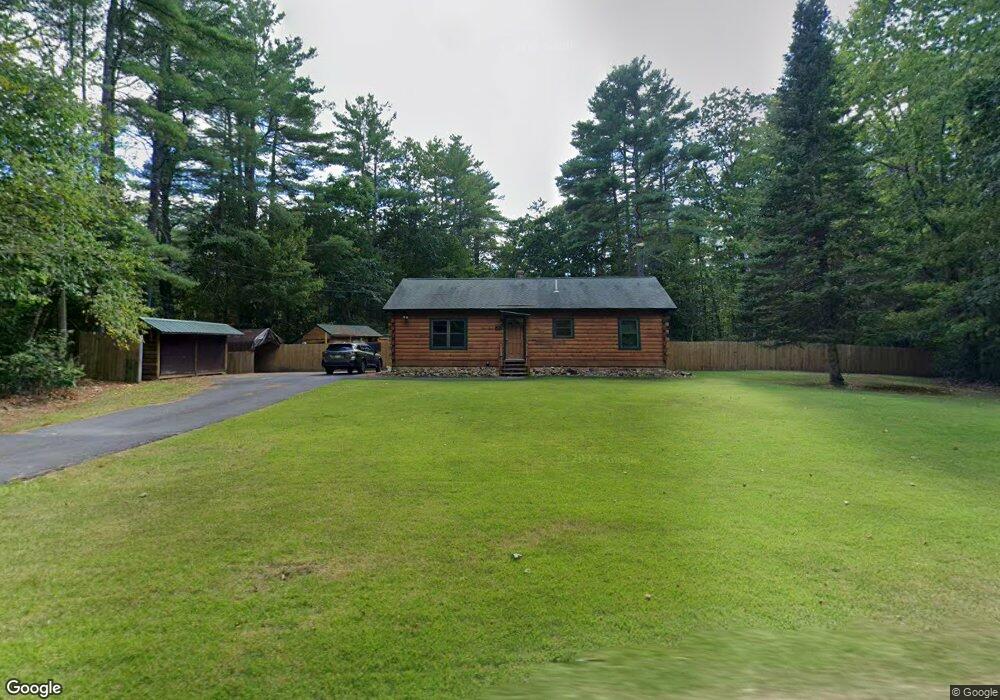
59 Ragged Hill Rd Hubbardston, MA 01452
Estimated Value: $364,000 - $470,000
3
Beds
1
Bath
1,075
Sq Ft
$381/Sq Ft
Est. Value
About This Home
This home is located at 59 Ragged Hill Rd, Hubbardston, MA 01452 and is currently estimated at $409,422, approximately $380 per square foot. 59 Ragged Hill Rd is a home located in Worcester County with nearby schools including Quabbin Regional Middle School and Quabbin Regional High School.
Ownership History
Date
Name
Owned For
Owner Type
Purchase Details
Closed on
Mar 30, 1995
Sold by
White Steven and White Cynthia
Bought by
Mayrose William
Current Estimated Value
Home Financials for this Owner
Home Financials are based on the most recent Mortgage that was taken out on this home.
Original Mortgage
$75,700
Interest Rate
8.8%
Mortgage Type
Purchase Money Mortgage
Create a Home Valuation Report for This Property
The Home Valuation Report is an in-depth analysis detailing your home's value as well as a comparison with similar homes in the area
Home Values in the Area
Average Home Value in this Area
Purchase History
| Date | Buyer | Sale Price | Title Company |
|---|---|---|---|
| Mayrose William | $94,800 | -- |
Source: Public Records
Mortgage History
| Date | Status | Borrower | Loan Amount |
|---|---|---|---|
| Closed | Mayrose William | $50,000 | |
| Closed | Mayrose William | $25,000 | |
| Closed | Mayrose William | $75,700 | |
| Previous Owner | Mayrose William | $30,000 |
Source: Public Records
Tax History Compared to Growth
Tax History
| Year | Tax Paid | Tax Assessment Tax Assessment Total Assessment is a certain percentage of the fair market value that is determined by local assessors to be the total taxable value of land and additions on the property. | Land | Improvement |
|---|---|---|---|---|
| 2025 | $3,905 | $334,300 | $49,600 | $284,700 |
| 2024 | $3,487 | $295,800 | $44,900 | $250,900 |
| 2023 | $3,027 | $232,300 | $39,300 | $193,000 |
| 2022 | $3,252 | $232,300 | $39,300 | $193,000 |
| 2021 | $3,205 | $216,400 | $39,300 | $177,100 |
| 2020 | $3,099 | $209,100 | $39,300 | $169,800 |
| 2019 | $3,027 | $198,900 | $53,700 | $145,200 |
| 2018 | $2,850 | $188,400 | $53,700 | $134,700 |
| 2017 | $2,869 | $188,400 | $53,700 | $134,700 |
| 2016 | $2,425 | $152,500 | $53,700 | $98,800 |
| 2015 | $2,404 | $161,100 | $53,700 | $107,400 |
| 2014 | $2,320 | $159,800 | $53,700 | $106,100 |
Source: Public Records
Map
Nearby Homes
- 63 Gardner Rd
- 7 Williamsville Rd
- Lot 0 Old Westminster Rd
- 1 Barre Road Cut Off
- 65 Victoria Ln
- 3 Gary Rd
- 254 Gardner Rd
- 318 Lovewell St
- 105 Hale Rd
- 99 Turner Ln
- 277 Lovewell St
- 75 Barre Rd
- 171 South Rd
- 5 Kurikka Place
- 0 Williamsville Rd
- 283 Mill St
- 87 Hubbardston Rd
- 72 Cottage Ln Unit (A)
- 72 Cottage Ln Unit (B)
- 0 Mill St
- 57 Ragged Hill Rd
- 58 Ragged Hill Rd
- 55 Ragged Hill Rd
- 63 Ragged Hill Rd
- 67 Ragged Hill Rd
- 51 Ragged Hill Rd
- 71 Ragged Hill Rd
- 76 Ragged Hill Rd
- 6 New Templeton Rd
- 58 New Templeton Rd
- 60 New Templeton Rd
- 56 New Templeton Rd
- 0 Ragged Hill Rd
- 75 Ragged Hill Rd
- 14 Laurel St
- 39 Ragged Hill Rd
- 54 New Templeton Rd
- 12 Laurel St
- 78 Ragged Hill Rd
- 76 New Templeton Rd