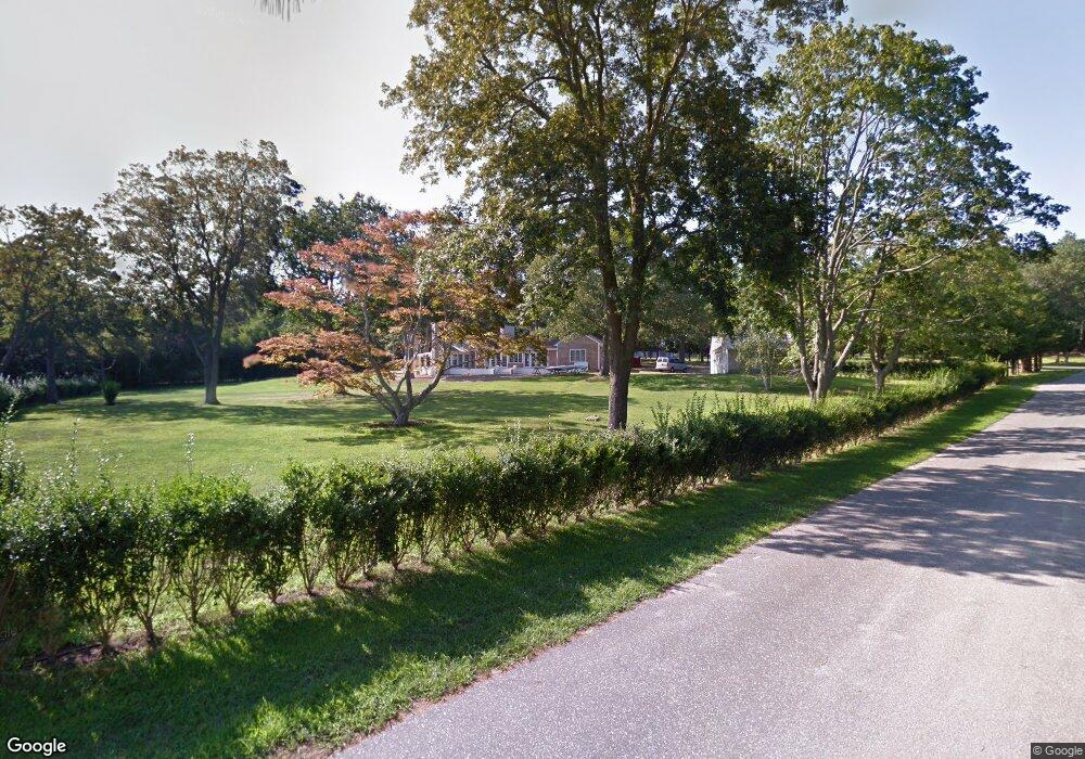
59 Tuthill Dr Shelter Island, NY 11964
Estimated Value: $2,300,000 - $4,609,510
3
Beds
3
Baths
2,799
Sq Ft
$1,234/Sq Ft
Est. Value
About This Home
This home is located at 59 Tuthill Dr, Shelter Island, NY 11964 and is currently estimated at $3,454,755, approximately $1,234 per square foot. 59 Tuthill Dr is a home with nearby schools including Shelter Island School.
Ownership History
Date
Name
Owned For
Owner Type
Purchase Details
Closed on
Nov 23, 2020
Sold by
Schappacher Steven J and White Rhea
Bought by
Smith Jeffrey A and Romano Rebecca L
Current Estimated Value
Purchase Details
Closed on
Oct 25, 2010
Sold by
Schubart Barbara K and Schubart Herbert J
Bought by
Schappacher Steven J and White Rhea
Home Financials for this Owner
Home Financials are based on the most recent Mortgage that was taken out on this home.
Original Mortgage
$133,000
Interest Rate
4.41%
Mortgage Type
Credit Line Revolving
Create a Home Valuation Report for This Property
The Home Valuation Report is an in-depth analysis detailing your home's value as well as a comparison with similar homes in the area
Home Values in the Area
Average Home Value in this Area
Purchase History
| Date | Buyer | Sale Price | Title Company |
|---|---|---|---|
| Smith Jeffrey A | $3,675,000 | None Available | |
| Smith Jeffrey A | $3,675,000 | None Available | |
| Schappacher Steven J | $1,247,500 | -- | |
| Schappacher Steven J | $1,247,500 | -- |
Source: Public Records
Mortgage History
| Date | Status | Borrower | Loan Amount |
|---|---|---|---|
| Previous Owner | Schappacher Steven J | $133,000 | |
| Previous Owner | Schappacher Steven J | $728,000 |
Source: Public Records
Tax History Compared to Growth
Tax History
| Year | Tax Paid | Tax Assessment Tax Assessment Total Assessment is a certain percentage of the fair market value that is determined by local assessors to be the total taxable value of land and additions on the property. | Land | Improvement |
|---|---|---|---|---|
| 2024 | $12,478 | $1,957,000 | $828,000 | $1,129,000 |
| 2023 | $12,478 | $1,957,000 | $828,000 | $1,129,000 |
| 2022 | $12,318 | $1,957,000 | $828,000 | $1,129,000 |
| 2021 | $12,016 | $1,957,000 | $828,000 | $1,129,000 |
| 2020 | $11,791 | $1,937,000 | $828,000 | $1,109,000 |
| 2019 | $11,791 | $1,933,000 | $827,500 | $1,105,500 |
| 2018 | $11,010 | $1,925,000 | $845,100 | $1,079,900 |
| 2017 | $11,010 | $1,872,000 | $815,300 | $1,056,700 |
| 2016 | $10,836 | $1,805,000 | $735,800 | $1,069,200 |
| 2015 | -- | $1,631,600 | $532,800 | $1,098,800 |
| 2014 | -- | $1,542,000 | $518,400 | $1,023,600 |
Source: Public Records
Map
Nearby Homes
- 156 Ram Island Dr
- 3a/3b Pandion Rd Unit 3a/3b
- 100 S Ferry Rd
- 64 N Cartwright Rd
- 9 & 7 Westmoreland Dr
- 15A / 15 & 13 S Menantic Rd
- 21 Thompson Rd
- 47L S Ferry Rd
- 47B S Ferry Rd
- 115 S Ferry Rd
- 4 Duvall Rd
- 10 Strawberry Ln
- 61 Gardiners Bay Dr
- 10 Sunshine Rd Unit B
- 33B S Midway Rd
- 52 S Midway Rd
- 8 Cove Way
- 26 Mashomuck Dr
- 33 Mashomuck Dr
- 139 A N Ferry Rd
- 78 S Ram Island Dr
- 73 Ram Island Dr
- 189 Ram Island Dr
- 84 Tuthill Dr
- 55 Tuthill Dr
- 69 S Ram Island Dr
- 70 Tuthill Dr
- 8 Club Dr
- 6 Club Dr
- 185 N Ram Island Dr
- 10B Club Dr
- 189-A Ram Island Dr
- 53 Tuthill Dr
- 68 Tuthill Dr
- 185 N Ram Island Dr
- 51 Tuthill Dr
- 52 Tuthill Dr
- 183 Ram Island Dr
- 49 Tuthill Dr
- 47 Tuthill Dr