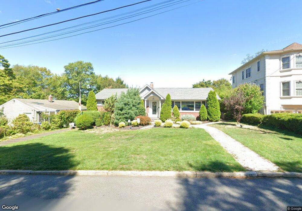
59 Wyoming Rd Paramus, NJ 07652
Estimated Value: $954,959 - $1,020,000
Studio
--
Bath
1,661
Sq Ft
$593/Sq Ft
Est. Value
About This Home
This home is located at 59 Wyoming Rd, Paramus, NJ 07652 and is currently estimated at $984,240, approximately $592 per square foot. 59 Wyoming Rd is a home located in Bergen County with nearby schools including Paramus High School, Visitation Academy, and Yavneh Academy.
Ownership History
Date
Name
Owned For
Owner Type
Purchase Details
Closed on
Oct 6, 2016
Sold by
Distinct Design & Construction Lc and Kuli Craig
Bought by
Gallorino John and Gallorino Arelys
Current Estimated Value
Home Financials for this Owner
Home Financials are based on the most recent Mortgage that was taken out on this home.
Original Mortgage
$470,000
Outstanding Balance
$376,314
Interest Rate
3.42%
Mortgage Type
New Conventional
Estimated Equity
$607,926
Purchase Details
Closed on
May 15, 2015
Sold by
Buff Fred and Buff Lotte
Bought by
Distinct Design And Construction Llc and Kull Craig
Create a Home Valuation Report for This Property
The Home Valuation Report is an in-depth analysis detailing your home's value as well as a comparison with similar homes in the area
Home Values in the Area
Average Home Value in this Area
Purchase History
| Date | Buyer | Sale Price | Title Company |
|---|---|---|---|
| Gallorino John | $72,000 | Old Republic National Title | |
| Distinct Design And Construction Llc | $515,000 | Chicago Title Insurance Co |
Source: Public Records
Mortgage History
| Date | Status | Borrower | Loan Amount |
|---|---|---|---|
| Open | Gallorino John | $470,000 |
Source: Public Records
Tax History
| Year | Tax Paid | Tax Assessment Tax Assessment Total Assessment is a certain percentage of the fair market value that is determined by local assessors to be the total taxable value of land and additions on the property. | Land | Improvement |
|---|---|---|---|---|
| 2025 | $10,696 | $762,200 | $416,400 | $345,800 |
| 2024 | $10,367 | $706,500 | $378,900 | $327,600 |
| 2023 | $9,810 | $675,800 | $361,400 | $314,400 |
| 2022 | $9,810 | $632,100 | $337,600 | $294,500 |
| 2021 | $9,507 | $574,800 | $305,100 | $269,700 |
| 2020 | $9,025 | $565,800 | $300,100 | $265,700 |
| 2019 | $7,519 | $405,100 | $259,600 | $145,500 |
| 2018 | $7,425 | $405,100 | $259,600 | $145,500 |
| 2017 | $7,296 | $405,100 | $259,600 | $145,500 |
| 2016 | $7,097 | $405,100 | $259,600 | $145,500 |
| 2015 | $6,774 | $405,100 | $259,600 | $145,500 |
| 2014 | $6,714 | $405,100 | $259,600 | $145,500 |
Source: Public Records
Map
Nearby Homes
- 211 Denver Rd
- 219 N Farview Ave
- 298 Buttonwood Dr
- 311 N Farview Ave
- 156 Stuart St
- 105 Circle Dr
- 177 Haase Ave
- 121 Circle Dr
- 179 Clayton Terrace
- 333 Harrison St
- 192 Thomas Dr
- 64 E Century Rd
- 90 Arnot Place
- 362 Harrison St
- 375 Burnet Place
- 368 Elmwood Dr
- 360 Valley View Ave
- 300 Spring Valley Rd
- 189 Forest Ave Unit 117
- 189 Forest Ave Unit 409
Your Personal Tour Guide
Ask me questions while you tour the home.