59 Zain Cir Unit 27 Milford, MA 01757
Estimated Value: $494,847 - $615,000
2
Beds
3
Baths
1,500
Sq Ft
$374/Sq Ft
Est. Value
About This Home
This home is located at 59 Zain Cir Unit 27, Milford, MA 01757 and is currently estimated at $560,712, approximately $373 per square foot. 59 Zain Cir Unit 27 is a home located in Worcester County with nearby schools including Milford High School.
Ownership History
Date
Name
Owned For
Owner Type
Purchase Details
Closed on
Jan 15, 2014
Sold by
Omalley Dorothy
Bought by
Hovsepian Ann B
Current Estimated Value
Purchase Details
Closed on
Jul 29, 2011
Sold by
Swan Ridge At Milford
Bought by
Omalley Dorothy
Home Financials for this Owner
Home Financials are based on the most recent Mortgage that was taken out on this home.
Original Mortgage
$175,000
Interest Rate
4.52%
Mortgage Type
Purchase Money Mortgage
Create a Home Valuation Report for This Property
The Home Valuation Report is an in-depth analysis detailing your home's value as well as a comparison with similar homes in the area
Home Values in the Area
Average Home Value in this Area
Purchase History
| Date | Buyer | Sale Price | Title Company |
|---|---|---|---|
| Hovsepian Ann B | -- | -- | |
| Omalley Dorothy | $250,000 | -- |
Source: Public Records
Mortgage History
| Date | Status | Borrower | Loan Amount |
|---|---|---|---|
| Previous Owner | Omalley Dorothy | $175,000 |
Source: Public Records
Tax History Compared to Growth
Tax History
| Year | Tax Paid | Tax Assessment Tax Assessment Total Assessment is a certain percentage of the fair market value that is determined by local assessors to be the total taxable value of land and additions on the property. | Land | Improvement |
|---|---|---|---|---|
| 2025 | $5,294 | $413,600 | $0 | $413,600 |
| 2024 | $5,083 | $382,500 | $0 | $382,500 |
| 2023 | $5,306 | $367,200 | $0 | $367,200 |
| 2022 | $4,695 | $305,100 | $0 | $305,100 |
| 2021 | $4,880 | $305,400 | $0 | $305,400 |
| 2020 | $4,624 | $289,700 | $0 | $289,700 |
| 2019 | $4,585 | $277,200 | $0 | $277,200 |
| 2018 | $4,590 | $277,200 | $0 | $277,200 |
| 2017 | $4,654 | $277,200 | $0 | $277,200 |
| 2016 | $4,606 | $268,100 | $0 | $268,100 |
| 2015 | $4,640 | $264,400 | $0 | $264,400 |
Source: Public Records
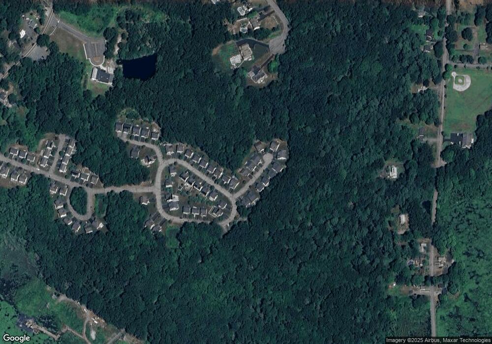
Map
Nearby Homes
- LOT 8 Pond View
- 45 Wendy Ln
- 4 Turin St
- 16 Gray Squirrel Cir
- 5 Deerfield Rd
- 56 Fisher St
- 53 Medway Rd
- 12 Alder St
- 28 Stable Way
- 4 E Charles St
- 16 Lombardi Cir
- 15 Free St
- 3 Newton Ln
- Lot 1 Florence St
- 11 Lena Ln Unit 2
- 15 Broad Acres Farm Rd
- 10 Reade St
- 35 Woodland Ave Unit 35A
- 16 Blueberry Hill Rd
- 17 Middleton St