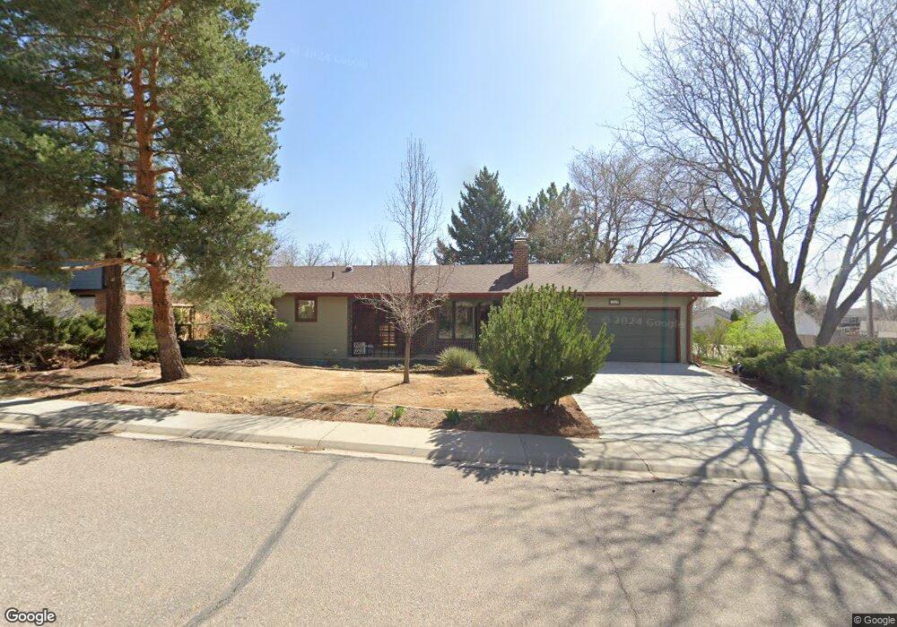
590 E Sutton Cir Lafayette, CO 80026
Estimated Value: $634,000 - $682,000
3
Beds
2
Baths
1,286
Sq Ft
$515/Sq Ft
Est. Value
About This Home
This home is located at 590 E Sutton Cir, Lafayette, CO 80026 and is currently estimated at $661,743, approximately $514 per square foot. 590 E Sutton Cir is a home located in Boulder County with nearby schools including Lafayette Elementary School, Angevine Middle School, and Centaurus High School.
Ownership History
Date
Name
Owned For
Owner Type
Purchase Details
Closed on
Jun 27, 2022
Sold by
Lamb John C
Bought by
Lamb Horn Living Trust
Current Estimated Value
Purchase Details
Closed on
Sep 2, 1987
Bought by
Lamb John C and Horn-Lamb Ellen K
Purchase Details
Closed on
Feb 22, 1978
Bought by
Lamb John C and Horn-Lamb Ellen K
Purchase Details
Closed on
Jan 13, 1978
Bought by
Lamb John C and Horn-Lamb Ellen K
Create a Home Valuation Report for This Property
The Home Valuation Report is an in-depth analysis detailing your home's value as well as a comparison with similar homes in the area
Home Values in the Area
Average Home Value in this Area
Purchase History
| Date | Buyer | Sale Price | Title Company |
|---|---|---|---|
| Lamb Horn Living Trust | -- | None Listed On Document | |
| Lamb John C | $98,000 | -- | |
| Lamb John C | $57,000 | -- | |
| Lamb John C | -- | -- |
Source: Public Records
Tax History
| Year | Tax Paid | Tax Assessment Tax Assessment Total Assessment is a certain percentage of the fair market value that is determined by local assessors to be the total taxable value of land and additions on the property. | Land | Improvement |
|---|---|---|---|---|
| 2025 | $3,137 | $40,763 | $15,063 | $25,700 |
| 2024 | $3,137 | $40,763 | $15,063 | $25,700 |
| 2023 | $3,083 | $42,103 | $19,504 | $26,284 |
| 2022 | $2,590 | $34,521 | $13,678 | $20,843 |
| 2021 | $2,561 | $35,514 | $14,071 | $21,443 |
| 2020 | $2,351 | $32,876 | $12,227 | $20,649 |
| 2019 | $2,319 | $32,876 | $12,227 | $20,649 |
| 2018 | $2,102 | $30,226 | $10,728 | $19,498 |
| 2017 | $2,047 | $33,416 | $11,860 | $21,556 |
| 2016 | $1,657 | $26,005 | $9,711 | $16,294 |
| 2015 | $1,552 | $19,956 | $6,050 | $13,906 |
| 2014 | $1,037 | $19,956 | $6,050 | $13,906 |
Source: Public Records
Map
Nearby Homes
- 421 S Dover Ave
- 870 Pan Ct
- 1140 Nottingham St
- 920 Milo Cir Unit A
- 924 Milo Cir Unit A
- 718 Julian Cir
- 736 Julian Cir
- 746 Julian Cir Unit 746
- 1140 Devonshire Ct
- 1048 Milo Cir Unit A
- 1091 Milo Cir Unit B
- 307 W Cleveland St
- 365 Vernier Ave
- 1068 Milo Cir Unit A
- 1045 Milo Cir Unit A
- 1215 Devonshire Ct
- 509 S Roosevelt Ave
- 1198 Milo Cir Unit A
- 402 W Baseline Rd Unit H
- 400 W Baseline Rd Unit B
- 560 E Sutton Cir
- 791 W Emma St
- 540 E Sutton Cir
- 565 E Sutton Cir
- 845 Kimbark St
- 771 W Emma St
- 772 W Chester St
- 595 E Sutton Cir
- 835 Kimbark St
- 510 E Sutton Cir
- 705 Silverberry Ct
- 770 W Chester St
- 545 E Sutton Cir
- 741 W Emma St
- 605 N Gooseberry Ct
- 625 N Gooseberry Ct
- 715 Silverberry Ct
- 825 Kimbark St
- 515 E Sutton Cir
- 553 S Dover Ave
Your Personal Tour Guide
Ask me questions while you tour the home.