590 F Z Goss Rd Picayune, MS 39466
Estimated Value: $416,000 - $461,000
4
Beds
1
Bath
3,086
Sq Ft
$142/Sq Ft
Est. Value
About This Home
This home is located at 590 F Z Goss Rd, Picayune, MS 39466 and is currently estimated at $439,609, approximately $142 per square foot. 590 F Z Goss Rd is a home located in Hancock County with nearby schools including West Hancock Elementary School, Hancock Middle School, and Hancock High School.
Ownership History
Date
Name
Owned For
Owner Type
Purchase Details
Closed on
Apr 30, 2024
Sold by
Goss Mccormick Mark and Goss Louise Mccormick
Bought by
Mccormick-Bond Natalie Anne and Bond Samuel Shayne
Current Estimated Value
Create a Home Valuation Report for This Property
The Home Valuation Report is an in-depth analysis detailing your home's value as well as a comparison with similar homes in the area
Home Values in the Area
Average Home Value in this Area
Purchase History
| Date | Buyer | Sale Price | Title Company |
|---|---|---|---|
| Mccormick-Bond Natalie Anne | -- | None Listed On Document |
Source: Public Records
Tax History Compared to Growth
Tax History
| Year | Tax Paid | Tax Assessment Tax Assessment Total Assessment is a certain percentage of the fair market value that is determined by local assessors to be the total taxable value of land and additions on the property. | Land | Improvement |
|---|---|---|---|---|
| 2024 | $4,106 | $43,110 | $7,281 | $35,829 |
| 2023 | $3,917 | $41,130 | $7,281 | $33,849 |
| 2022 | $2,575 | $30,184 | $4,854 | $25,330 |
| 2021 | $2,575 | $30,184 | $4,854 | $25,330 |
| 2020 | $2,473 | $28,074 | $4,854 | $23,220 |
| 2019 | $2,394 | $27,274 | $4,054 | $23,220 |
| 2018 | $2,367 | $26,996 | $3,354 | $23,642 |
| 2017 | $2,367 | $26,996 | $3,354 | $23,642 |
| 2016 | $2,300 | $26,996 | $3,354 | $23,642 |
| 2015 | $2,011 | $25,297 | $3,805 | $21,492 |
| 2014 | $1,963 | $25,297 | $3,805 | $21,492 |
| 2013 | $1,882 | $25,297 | $3,805 | $21,492 |
Source: Public Records
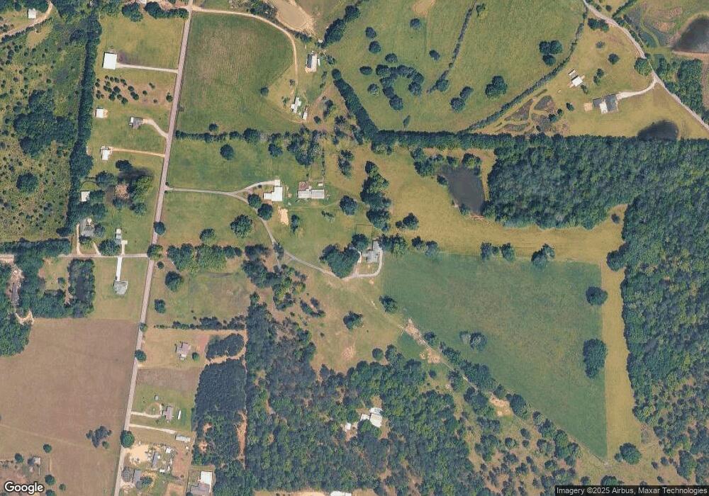
Map
Nearby Homes
- 38 Wyatt Ln
- 00 Caesar Necaise Rd
- 116 Monk Mitchell Rd
- 25541 Broadridge Dr
- 5 Grassland Ct
- 27261 Varnado Cutoff Rd
- 131 Monk Mitchell Rd
- 6 N Caesar Oaks Dr
- 1298 W Union Rd
- 25215 Karly Dr
- 1467 Ceasar Rd
- 27019 Leetown Rd
- 11080 Road 231
- 42 J D Gill Rd
- 953 Bouie Rd
- 11192 Willie Lee Rd
- 1616 Ceasar Rd
- 137 Old Creek Rd
- 1452d Caesar Necaise Rd
- 1452c Caesar Necaise Rd
- 592 F Z Goss Rd
- 591 F Z Goss Rd
- 594 F Z Goss Rd
- 583 F Z Goss Rd
- 12519 Road 207
- 528 F Z Goss Rd
- 516 F Z Goss Rd
- 12524 Indian Springs Rd
- 16 Preacher Hill Rd
- 636 F Z Goss Rd
- 15 Road 207
- 12524 Road 224
- 31 Preacher Hill Rd
- 19 Preacher Hill Rd
- 508 F Z Goss Rd
- 12590 Indian Springs Rd
- 490 F Z Goss Rd
- 0 F Z Goss Road (Lot 1)
- 0 F Z Goss Road (Lot 3)
- 0 F Z Goss Road (Lot 2)