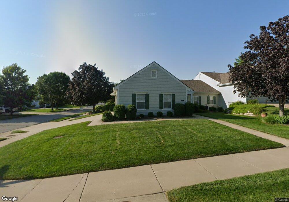
5901 Longleaf Cir Lawrence, KS 66049
West Lawrence NeighborhoodEstimated Value: $210,000 - $365,000
3
Beds
2
Baths
1,618
Sq Ft
$197/Sq Ft
Est. Value
About This Home
This home is located at 5901 Longleaf Cir, Lawrence, KS 66049 and is currently estimated at $318,324, approximately $196 per square foot. 5901 Longleaf Cir is a home located in Douglas County with nearby schools including Langston Hughes Elementary School, Southwest Middle School, and Lawrence Free State High School.
Ownership History
Date
Name
Owned For
Owner Type
Purchase Details
Closed on
Oct 27, 2020
Sold by
Persinger Charles E
Bought by
White Donna L and White Glenn L
Current Estimated Value
Home Financials for this Owner
Home Financials are based on the most recent Mortgage that was taken out on this home.
Original Mortgage
$185,000
Outstanding Balance
$164,624
Interest Rate
2.8%
Mortgage Type
New Conventional
Estimated Equity
$153,700
Purchase Details
Closed on
Jan 7, 2011
Sold by
Ranney Candice and Osborne Non Marital T Harold B
Bought by
Persinger Charles E
Home Financials for this Owner
Home Financials are based on the most recent Mortgage that was taken out on this home.
Original Mortgage
$100,000
Interest Rate
4.83%
Mortgage Type
New Conventional
Create a Home Valuation Report for This Property
The Home Valuation Report is an in-depth analysis detailing your home's value as well as a comparison with similar homes in the area
Home Values in the Area
Average Home Value in this Area
Purchase History
| Date | Buyer | Sale Price | Title Company |
|---|---|---|---|
| White Donna L | -- | Security 1St Title | |
| Persinger Charles E | -- | First American Title |
Source: Public Records
Mortgage History
| Date | Status | Borrower | Loan Amount |
|---|---|---|---|
| Open | White Donna L | $185,000 | |
| Previous Owner | Persinger Charles E | $100,000 |
Source: Public Records
Tax History
| Year | Tax Paid | Tax Assessment Tax Assessment Total Assessment is a certain percentage of the fair market value that is determined by local assessors to be the total taxable value of land and additions on the property. | Land | Improvement |
|---|---|---|---|---|
| 2025 | $4,670 | $37,765 | $6,900 | $30,865 |
| 2024 | $4,407 | $35,696 | $5,520 | $30,176 |
| 2023 | $4,450 | $34,673 | $5,520 | $29,153 |
| 2022 | $3,966 | $30,740 | $4,025 | $26,715 |
| 2021 | $4,070 | $30,475 | $4,025 | $26,450 |
| 2020 | $3,414 | $25,750 | $4,025 | $21,725 |
| 2019 | $3,238 | $24,466 | $4,025 | $20,441 |
| 2018 | $3,194 | $23,964 | $4,025 | $19,939 |
| 2017 | $3,214 | $23,840 | $4,025 | $19,815 |
| 2016 | $3,072 | $23,805 | $4,025 | $19,780 |
| 2015 | -- | $23,598 | $4,025 | $19,573 |
| 2014 | -- | $22,885 | $4,025 | $18,860 |
Source: Public Records
Map
Nearby Homes
- 1347 Kanza Dr
- 5524 Chamney Ct
- 5710 Goff Ct
- 1549 Legend Trail Dr Unit A
- 1216 Waverly Dr
- 1639 George Williams Way
- 1604 Bob White Dr
- 1532B Legend Trail Dr
- 1651 George Williams Way
- 1115 Klein Ct
- 1709 Lake Alvamar Dr
- 1801 Burning Tree Dr
- 927 N 1464 Rd
- 1727 Lake Alvamar Dr
- 5714 Silverstone Dr
- 1315 Research Park Dr
- 5629 Johnson Dr
- 5800 Johnson Dr
- 5806 Johnson Dr
- 5802 Johnson Dr
- 5903 Longleaf Cir
- 1401 Redleaf Place
- 1403 Redleaf Place
- 5905 Longleaf Cir
- 1405 Redleaf Place
- 5815 Longleaf Dr
- 5808 Longleaf Dr
- 5810 Longleaf Dr
- 5804 Longleaf Dr
- 5812 Longleaf Dr
- 5907 Longleaf Cir
- 1407 Redleaf Place
- 5814 Longleaf Dr
- 5906 Longleaf Cir
- 5800 Longleaf Dr
- 5817 Longleaf Dr
- 5909 Longleaf Cir
- 5816 Longleaf Dr
- 5911 Longleaf Cir
- 5818 Longleaf Dr
Your Personal Tour Guide
Ask me questions while you tour the home.