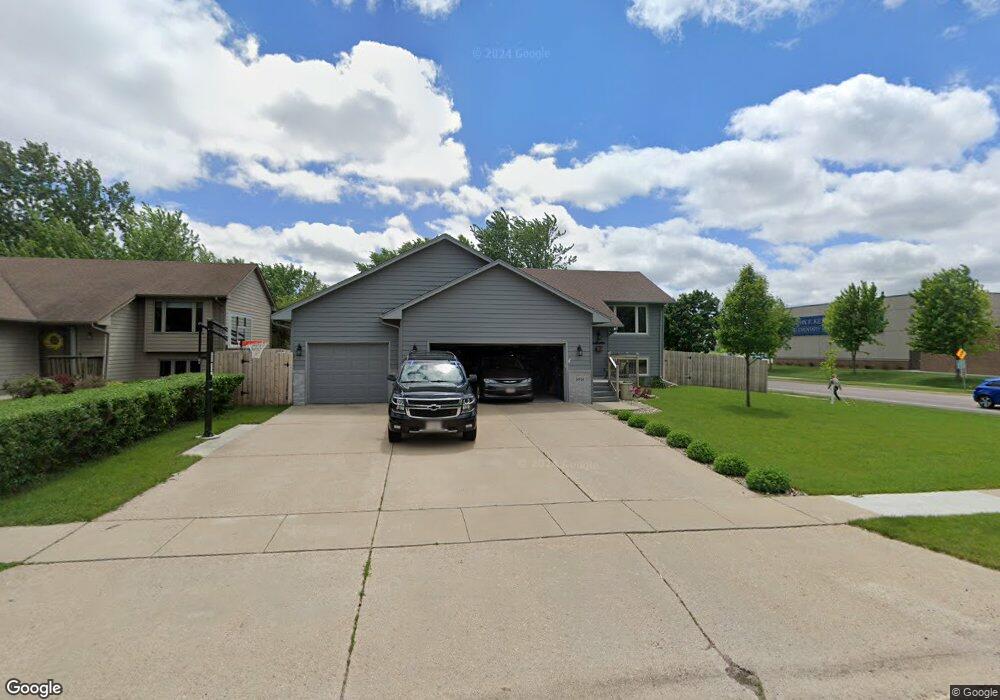
5915 W 53rd St Sioux Falls, SD 57106
Southwest Sioux Falls NeighborhoodEstimated Value: $331,000 - $382,000
4
Beds
2
Baths
1,929
Sq Ft
$187/Sq Ft
Est. Value
About This Home
This home is located at 5915 W 53rd St, Sioux Falls, SD 57106 and is currently estimated at $361,126, approximately $187 per square foot. 5915 W 53rd St is a home located in Minnehaha County with nearby schools including John F. Kennedy Elementary School, Edison Middle School, and Roosevelt High School.
Ownership History
Date
Name
Owned For
Owner Type
Purchase Details
Closed on
Apr 15, 2021
Sold by
Signature Companies Llc
Bought by
Engstrom Sandra
Current Estimated Value
Purchase Details
Closed on
Mar 13, 2012
Sold by
Palm Michael J
Bought by
Vnden Top Molly M and Vanden Top Matthew L
Purchase Details
Closed on
Mar 8, 2012
Sold by
Michael J Michael J
Bought by
Vanden Top Molly M and Vanden Top Matthew L
Create a Home Valuation Report for This Property
The Home Valuation Report is an in-depth analysis detailing your home's value as well as a comparison with similar homes in the area
Home Values in the Area
Average Home Value in this Area
Purchase History
| Date | Buyer | Sale Price | Title Company |
|---|---|---|---|
| Engstrom Sandra | $301,000 | Getty Abstract & Title Co | |
| Vnden Top Molly M | $167,800 | -- | |
| Vanden Top Molly M | $167,800 | Getty Abstract & Title Comp |
Source: Public Records
Tax History
| Year | Tax Paid | Tax Assessment Tax Assessment Total Assessment is a certain percentage of the fair market value that is determined by local assessors to be the total taxable value of land and additions on the property. | Land | Improvement |
|---|---|---|---|---|
| 2024 | $4,570 | $333,300 | $38,600 | $294,700 |
| 2023 | $4,560 | $320,500 | $38,600 | $281,900 |
| 2022 | $4,100 | $270,800 | $38,600 | $232,200 |
| 2021 | $3,623 | $231,600 | $0 | $0 |
| 2020 | $3,623 | $229,000 | $0 | $0 |
| 2019 | $3,251 | $200,808 | $0 | $0 |
| 2018 | $2,877 | $192,516 | $0 | $0 |
| 2017 | $2,832 | $177,863 | $33,480 | $144,383 |
| 2016 | $2,832 | $175,352 | $33,480 | $141,872 |
| 2015 | $2,601 | $166,563 | $33,480 | $133,083 |
| 2014 | -- | $150,783 | $33,487 | $117,296 |
Source: Public Records
Map
Nearby Homes
- 4620 S Bluestem Cir
- 6008 W Cheyenne Dr
- 6305 W 54th St
- 4905 S Holbrook Ave
- 4424 W Mesa Pass
- 5408 W 52nd St
- 4104 W Mesa Pass
- 6433 W 56th St
- 5301 S Holbrook Ave
- 5301 S Mandy Ave
- 6612 W Bonnie Ct
- 5401 S Mandy Ave
- 6529 W Essex Terrace
- 6304 W 61st St
- 5504 S Danberry Dr
- 5102 W Emmitt Cir
- 6509 W Essex Dr
- 3809 S Holbrook Ave
- 5212 W 47th St
- 5208 W 47th St
- 5909 W 53rd St
- 5905 W 53rd St
- 4512 S Holbrook Ave
- 5816 W Bluestem St
- 5908 W 53rd St
- 5812 W Bluestem St
- 5901 W 53rd St
- 4412 S Holbrook Ave
- 5904 W 53rd St
- 5808 W Bluestem St
- 5900 W 53rd St
- 5815 W 53rd St
- 5804 W Bluestem St
- 4600 S Holbrook Ave
- 6004 W 53rd St
- 5817 W Bluestem St
- 5812 W 53rd St
- 4408 S Holbrook Ave
- 5813 W Bluestem St
- 5800 W Bluestem St
Your Personal Tour Guide
Ask me questions while you tour the home.