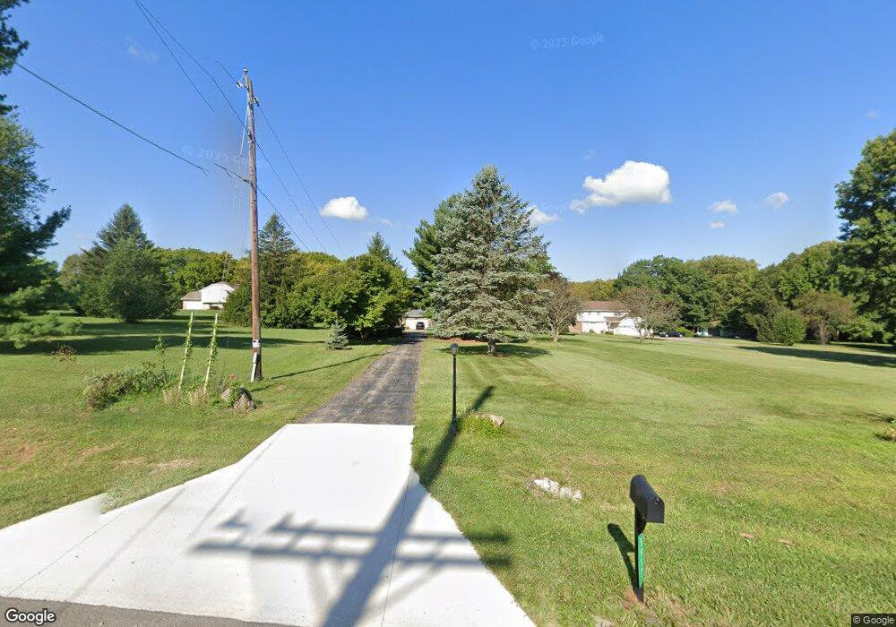
5917 N State Route 741 Springboro, OH 45066
Estimated Value: $456,000 - $539,000
4
Beds
3
Baths
1,776
Sq Ft
$282/Sq Ft
Est. Value
About This Home
This home is located at 5917 N State Route 741, Springboro, OH 45066 and is currently estimated at $501,247, approximately $282 per square foot. 5917 N State Route 741 is a home located in Warren County with nearby schools including Clearcreek Elementary School, Dennis Elementary School, and Springboro Intermediate School.
Ownership History
Date
Name
Owned For
Owner Type
Purchase Details
Closed on
Apr 17, 2025
Sold by
Williams Raymond D
Bought by
Williams Raymond D and Williams Roxanne
Current Estimated Value
Purchase Details
Closed on
Feb 5, 2013
Sold by
Williams Cheryl A
Bought by
Williams Raymond D
Home Financials for this Owner
Home Financials are based on the most recent Mortgage that was taken out on this home.
Original Mortgage
$150,352
Interest Rate
3.3%
Mortgage Type
New Conventional
Purchase Details
Closed on
Oct 4, 2004
Sold by
Greene Dallas Sue and Greene Dallas S
Bought by
Williams Raymond D and Williams Cheryl A
Home Financials for this Owner
Home Financials are based on the most recent Mortgage that was taken out on this home.
Original Mortgage
$154,000
Interest Rate
5.91%
Mortgage Type
Purchase Money Mortgage
Purchase Details
Closed on
Jun 16, 1982
Sold by
John H Spencer Inc
Purchase Details
Closed on
Jul 18, 1978
Sold by
Weidner Farms
Create a Home Valuation Report for This Property
The Home Valuation Report is an in-depth analysis detailing your home's value as well as a comparison with similar homes in the area
Home Values in the Area
Average Home Value in this Area
Purchase History
| Date | Buyer | Sale Price | Title Company |
|---|---|---|---|
| Williams Raymond D | -- | None Listed On Document | |
| Williams Raymond D | -- | None Available | |
| Williams Raymond D | $239,000 | Midland Title | |
| -- | $100,000 | -- | |
| -- | $20,700 | -- |
Source: Public Records
Mortgage History
| Date | Status | Borrower | Loan Amount |
|---|---|---|---|
| Previous Owner | Williams Raymond D | $150,352 | |
| Previous Owner | Williams Raymond D | $154,000 |
Source: Public Records
Tax History Compared to Growth
Tax History
| Year | Tax Paid | Tax Assessment Tax Assessment Total Assessment is a certain percentage of the fair market value that is determined by local assessors to be the total taxable value of land and additions on the property. | Land | Improvement |
|---|---|---|---|---|
| 2024 | $4,788 | $116,450 | $54,390 | $62,060 |
| 2023 | $4,051 | $89,771 | $34,293 | $55,478 |
| 2022 | $3,992 | $89,772 | $34,293 | $55,479 |
| 2021 | $3,730 | $89,772 | $34,293 | $55,479 |
| 2020 | $3,479 | $72,986 | $27,881 | $45,105 |
| 2019 | $3,226 | $72,986 | $27,881 | $45,105 |
| 2018 | $3,217 | $72,986 | $27,881 | $45,105 |
| 2017 | $3,298 | $67,179 | $24,115 | $43,064 |
| 2016 | $3,432 | $67,179 | $24,115 | $43,064 |
| 2015 | $3,348 | $67,179 | $24,115 | $43,064 |
| 2014 | $3,348 | $61,960 | $23,160 | $38,800 |
| 2013 | $3,347 | $71,920 | $24,980 | $46,940 |
Source: Public Records
Map
Nearby Homes
- 5944 Round Hill Ct
- 35 Morris St Unit 14
- Hampton Plan at Northampton
- Cheswicke Plan at Northampton
- 45 Morris St Unit 15
- 70 Morris St Unit 6
- 55 Glasgow St Unit 37
- 65 Morris St Unit 17
- Barrett Plan at Northampton
- 25 Morris St
- 45 Morris St
- Hyde Park Plan at Northampton
- Melville Plan at Northampton
- Cooke Plan at Northampton
- 50 Morris St
- Monroe Plan at Northampton
- Keating Plan at Northampton
- Ainsley II Plan at Northampton
- Nicholas Plan at Northampton
- 25 Morris St Unit 13
- 5917 N State Route 741
- 5953 N State Route 741
- 5891 N State Route 741
- 5987 N State Route 741
- 1931 Woodgrove Dr
- 5831 N State Route 741
- 5831 N State Route 741
- 5831 S R 741 N
- 5813 N State Route 741
- 5851 N State Route 741
- 1883 Woodgrove Dr Unit 12
- 1883 Woodgrove Dr
- 5831 N Oh-741
- 1 Route 741
- 1875 Woodgrove Dr
- 1890 Woodgrove Dr Unit 14
- 1890 Woodgrove Dr
- 6132 N State Route 741
- 1878 Woodgrove Dr Unit 15
- 1867 Woodgrove Dr Unit 10