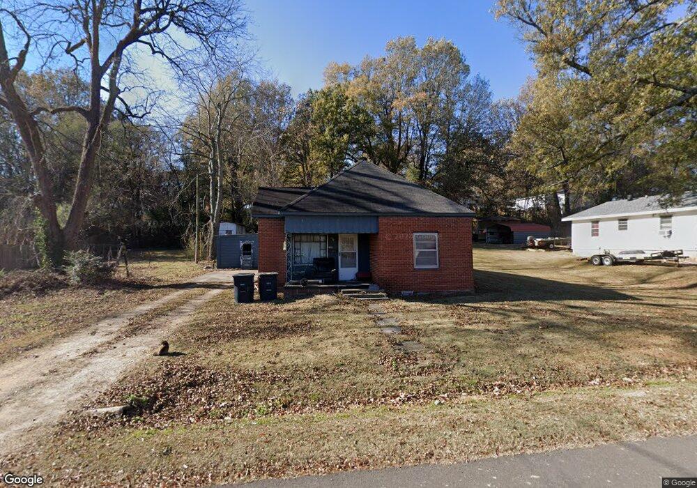
592 N Thornton Ave Piggott, AR 72454
Estimated Value: $56,000 - $76,000
--
Bed
1
Bath
1,212
Sq Ft
$55/Sq Ft
Est. Value
About This Home
This home is located at 592 N Thornton Ave, Piggott, AR 72454 and is currently estimated at $66,313, approximately $54 per square foot. 592 N Thornton Ave is a home located in Clay County with nearby schools including Piggott Elementary School and Piggott High School.
Ownership History
Date
Name
Owned For
Owner Type
Purchase Details
Closed on
Nov 5, 2009
Sold by
Wiley Junior L and Wiley Martha Gaye
Bought by
Gipson Steven and Gipson Erica
Current Estimated Value
Home Financials for this Owner
Home Financials are based on the most recent Mortgage that was taken out on this home.
Original Mortgage
$28,026
Outstanding Balance
$18,066
Interest Rate
4.83%
Estimated Equity
$48,247
Purchase Details
Closed on
Nov 12, 1999
Bought by
Wiley
Purchase Details
Closed on
Oct 29, 1999
Bought by
Winton Trust
Purchase Details
Closed on
Oct 1, 1993
Bought by
Staples Trust
Purchase Details
Closed on
Mar 24, 1989
Bought by
Staples
Create a Home Valuation Report for This Property
The Home Valuation Report is an in-depth analysis detailing your home's value as well as a comparison with similar homes in the area
Home Values in the Area
Average Home Value in this Area
Purchase History
| Date | Buyer | Sale Price | Title Company |
|---|---|---|---|
| Gipson Steven | $25,000 | -- | |
| Wiley | $20,000 | -- | |
| Winton Trust | $15,000 | -- | |
| Staples Trust | -- | -- | |
| Staples | $17,000 | -- |
Source: Public Records
Mortgage History
| Date | Status | Borrower | Loan Amount |
|---|---|---|---|
| Open | Gipson Steven | $28,026 | |
| Previous Owner | Staples | $0 |
Source: Public Records
Tax History Compared to Growth
Tax History
| Year | Tax Paid | Tax Assessment Tax Assessment Total Assessment is a certain percentage of the fair market value that is determined by local assessors to be the total taxable value of land and additions on the property. | Land | Improvement |
|---|---|---|---|---|
| 2025 | -- | $6,620 | $1,000 | $5,620 |
| 2024 | $201 | $6,620 | $1,000 | $5,620 |
| 2023 | $201 | $6,620 | $1,000 | $5,620 |
| 2022 | $192 | $3,800 | $820 | $2,980 |
| 2021 | $192 | $3,800 | $820 | $2,980 |
| 2020 | $192 | $3,800 | $820 | $2,980 |
| 2019 | $192 | $3,800 | $820 | $2,980 |
| 2018 | $192 | $3,800 | $820 | $2,980 |
| 2017 | $290 | $5,750 | $1,280 | $4,470 |
| 2016 | -- | $5,750 | $1,280 | $4,470 |
| 2015 | -- | $5,440 | $1,280 | $4,160 |
| 2014 | -- | $5,440 | $1,280 | $4,160 |
| 2013 | -- | $5,440 | $1,280 | $4,160 |
Source: Public Records
Map
Nearby Homes
- 506 N Thornton Ave
- 756 N Royal Ave
- 792 N Royal Ave
- 865 N 2nd Ave
- 758 N Garfield Ave
- 489 N Taylor Ave
- 489 N Taylor Ave
- 582 N 4th Ave
- 0 N Garfield Ave
- 0 N Taylor Ave
- 728 N 5th Ave
- 320 N 5th Ave
- 452 Pine Tree Ln
- 792 E Miller St
- 516 N Scurlock Ave
- 221 N Garfield Ave
- 491 W Main St
- 323 Lamb Dr
- 0 N Johnson Ave
- .15 acre E Orr St
- 544 N Thornton Ave
- 610 N Thornton Ave
- 603 N Thornton Ave
- 559 N Thornton Ave
- 520 N Thornton Ave
- 787 N Royal Ave
- 640 N Thornton Ave
- 525 N Thornton Ave
- 611 N Thornton Ave
- 510 N Thornton Ave
- 675 N Royal Ave
- 815 N Royal Ave
- 651 N Thornton Ave
- 726 N Royal Ave
- 655 N Royal Ave
- 685 N Thornton Ave
- 690 N Thornton Ave
- 756 Royal Rd
- 664 N Royal Ave
- 678 N Royal Ave