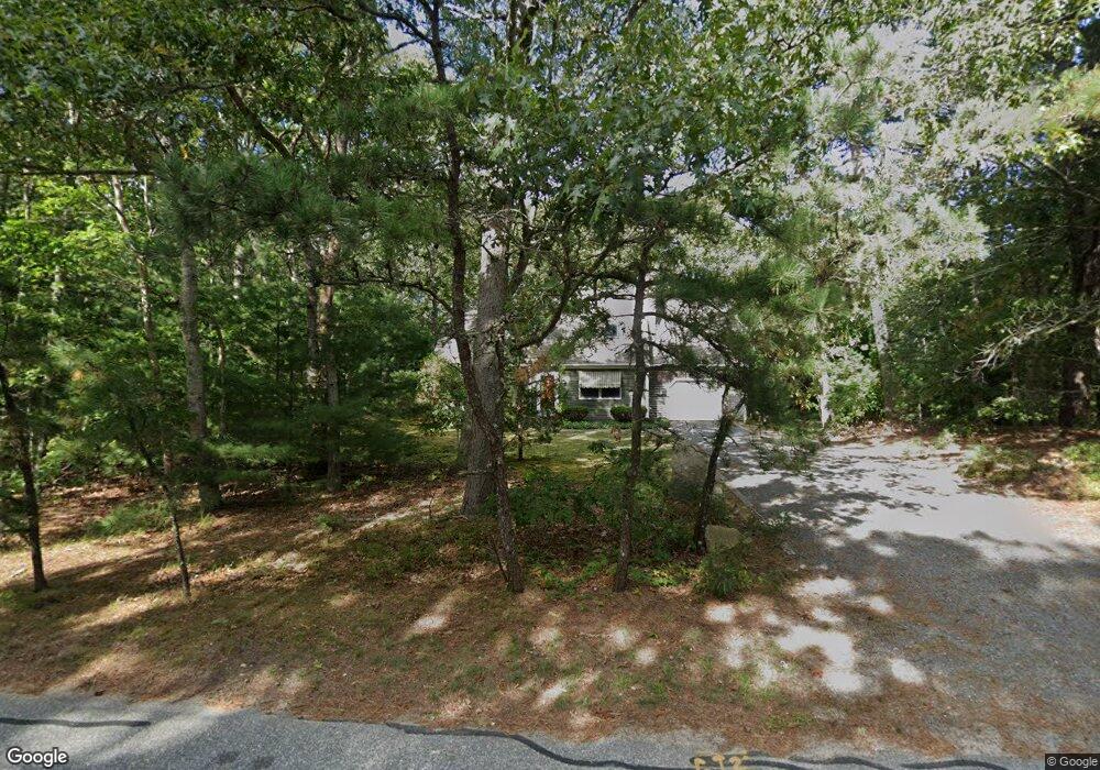
592 Run Hill Rd Brewster, MA 02631
Estimated Value: $742,534 - $1,038,000
4
Beds
3
Baths
1,682
Sq Ft
$534/Sq Ft
Est. Value
About This Home
This home is located at 592 Run Hill Rd, Brewster, MA 02631 and is currently estimated at $898,884, approximately $534 per square foot. 592 Run Hill Rd is a home located in Barnstable County with nearby schools including Stony Brook Elementary School, Eddy Elementary School, and Nauset Regional Middle School.
Ownership History
Date
Name
Owned For
Owner Type
Purchase Details
Closed on
Jan 24, 2017
Sold by
Anderson Lorraine A
Bought by
Anderson Eagle Point R
Current Estimated Value
Purchase Details
Closed on
Feb 10, 2005
Sold by
Anderson John S and Anderson Lorraine A
Bought by
Anderson John S and Anderson Lorraine A
Purchase Details
Closed on
Jun 22, 1994
Sold by
Anderson John S
Bought by
Anderson John S and Anderson Lorraine A
Home Financials for this Owner
Home Financials are based on the most recent Mortgage that was taken out on this home.
Original Mortgage
$95,000
Interest Rate
8.74%
Mortgage Type
Purchase Money Mortgage
Create a Home Valuation Report for This Property
The Home Valuation Report is an in-depth analysis detailing your home's value as well as a comparison with similar homes in the area
Home Values in the Area
Average Home Value in this Area
Purchase History
| Date | Buyer | Sale Price | Title Company |
|---|---|---|---|
| Anderson Eagle Point R | -- | -- | |
| Anderson John S | -- | -- | |
| Anderson John S | $35,000 | -- |
Source: Public Records
Mortgage History
| Date | Status | Borrower | Loan Amount |
|---|---|---|---|
| Previous Owner | Anderson John S | $95,000 |
Source: Public Records
Tax History
| Year | Tax Paid | Tax Assessment Tax Assessment Total Assessment is a certain percentage of the fair market value that is determined by local assessors to be the total taxable value of land and additions on the property. | Land | Improvement |
|---|---|---|---|---|
| 2025 | $4,161 | $604,800 | $223,800 | $381,000 |
| 2024 | $3,889 | $571,000 | $211,100 | $359,900 |
| 2023 | $3,599 | $514,900 | $188,500 | $326,400 |
| 2022 | $3,255 | $414,700 | $141,300 | $273,400 |
| 2021 | $3,130 | $364,800 | $122,900 | $241,900 |
| 2020 | $61,771 | $353,500 | $122,900 | $230,600 |
| 2019 | $59,113 | $355,100 | $118,200 | $236,900 |
| 2018 | $2,860 | $346,300 | $118,200 | $228,100 |
| 2017 | $2,811 | $335,100 | $118,200 | $216,900 |
| 2016 | $2,691 | $319,200 | $115,900 | $203,300 |
| 2015 | $2,599 | $314,600 | $113,600 | $201,000 |
Source: Public Records
Map
Nearby Homes
- 120 Red Maple Rd
- 0 Canoe Pond Dr
- 728 Great Fields Rd
- 0 Ridgewood Dr
- 20 Spring Ln
- 1580 Main St
- 429 Paines Creek Rd
- 83 Airline Rd
- 102 Wildwood Rd
- 92 Azalea Dr
- 92 Whiffletree Ave
- 36 Island St
- 14 2nd St
- 13 Rogers Rd
- 360 Airline Rd
- 240 Robbins Hill Rd
- 3 Bittersweet Ln
- 1861 Main St
- 86 Greenland Cir
- 3 Bentley Rd
- 41 Turning Mill Rd
- 65 Turning Mill Rd
- 566 Run Hill Rd
- 601 Run Hill Rd
- 571 Run Hill Rd
- 151 Turning Mill Rd
- 585 Run Hill Rd
- 77 Turning Mill Rd
- 615 Run Hill Rd
- 0 Turning Mill Rd
- 12 Pitch Pine Rd
- 89 Turning Mill Rd
- 30 Pitch Pine Rd
- 32 Turning Mill Rd
- 20 Turning Mill Rd
- 12 Turning Mill Rd
- 62 Turning Mill Rd
- 631 Run Hill Rd
- 52 Turning Mill Rd
- 42 Turning Mill Rd
Your Personal Tour Guide
Ask me questions while you tour the home.