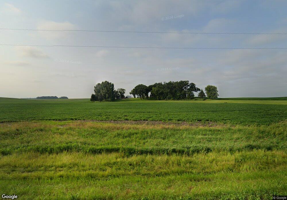
59269 195th St Mankato, MN 56001
Estimated Value: $446,000 - $1,640,493
4
Beds
2
Baths
1,730
Sq Ft
$603/Sq Ft
Est. Value
About This Home
This home is located at 59269 195th St, Mankato, MN 56001 and is currently estimated at $1,043,247, approximately $603 per square foot. 59269 195th St is a home located in Blue Earth County.
Ownership History
Date
Name
Owned For
Owner Type
Purchase Details
Closed on
Mar 14, 2025
Sold by
Depuydt Mark I
Bought by
Mark I Depuydt Disclaimer Trust
Current Estimated Value
Purchase Details
Closed on
Jan 30, 2025
Sold by
Depuydt Teresa L
Bought by
Trust Agreement Of Teresa L Depuydt
Create a Home Valuation Report for This Property
The Home Valuation Report is an in-depth analysis detailing your home's value as well as a comparison with similar homes in the area
Home Values in the Area
Average Home Value in this Area
Purchase History
| Date | Buyer | Sale Price | Title Company |
|---|---|---|---|
| Mark I Depuydt Disclaimer Trust | -- | None Listed On Document | |
| Trust Agreement Of Teresa L Depuydt | $500 | None Listed On Document |
Source: Public Records
Tax History Compared to Growth
Tax History
| Year | Tax Paid | Tax Assessment Tax Assessment Total Assessment is a certain percentage of the fair market value that is determined by local assessors to be the total taxable value of land and additions on the property. | Land | Improvement |
|---|---|---|---|---|
| 2025 | $10,748 | $1,900,700 | $1,673,100 | $227,600 |
| 2024 | $10,748 | $2,124,700 | $1,876,400 | $248,300 |
| 2023 | $7,270 | $1,985,600 | $1,763,500 | $222,100 |
| 2022 | $7,382 | $1,613,300 | $1,401,700 | $211,600 |
| 2021 | $6,406 | $1,373,500 | $1,209,700 | $163,800 |
| 2020 | $5,920 | $1,437,300 | $1,289,700 | $147,600 |
| 2019 | $5,656 | $1,437,300 | $1,289,700 | $147,600 |
| 2018 | $8,110 | $1,338,500 | $1,199,800 | $138,700 |
| 2017 | $9,476 | $1,426,000 | $1,289,700 | $136,300 |
| 2016 | $8,482 | $1,420,100 | $1,289,700 | $130,400 |
| 2015 | $83 | $1,487,600 | $1,357,200 | $130,400 |
| 2014 | $2,044 | $182,000 | $60,000 | $122,000 |
Source: Public Records
Map
Nearby Homes
- 510 River Hills Rd
- 58560 Kirkwood Rd
- 19997 State Highway 22
- 0 Tbd S Highway 22 Hwy Unit Sect 28 Township 10
- XXX 602nd Ave
- 602nd Avenue
- 1011 Saba Blvd
- 1010 Mahoe Way
- 1014 Mahoe Way
- 1031 Saba Blvd
- 1035 Saba
- 1041 Saba Blvd
- 1026 Way
- 1026 Mahoe Way
- 1051 Saba Blvd
- 1030 Mahoe Way
- 1034 Mahoe Way
- 1055 Saba Blvd
- 2011 Mahoe Cir
- 59188 195th St
- 19415 594th Ave
- 19649 594th Ave
- 19232 594th Ave
- 59067 195th St
- 0 Co Rd 90 at 594th Ave
- 59634 195th St
- 59550 192nd St
- 59592 192nd St
- 19735 589th Ave
- 19470 589th Ave
- 19689 589th Ave
- 19474 589th Ave
- 58852 195th St
- 59300 199th St
- 59155 199th St
- 19398 599th Ave
- 59071 199th St
- 59499 199th St
- 19132 589th Ave
