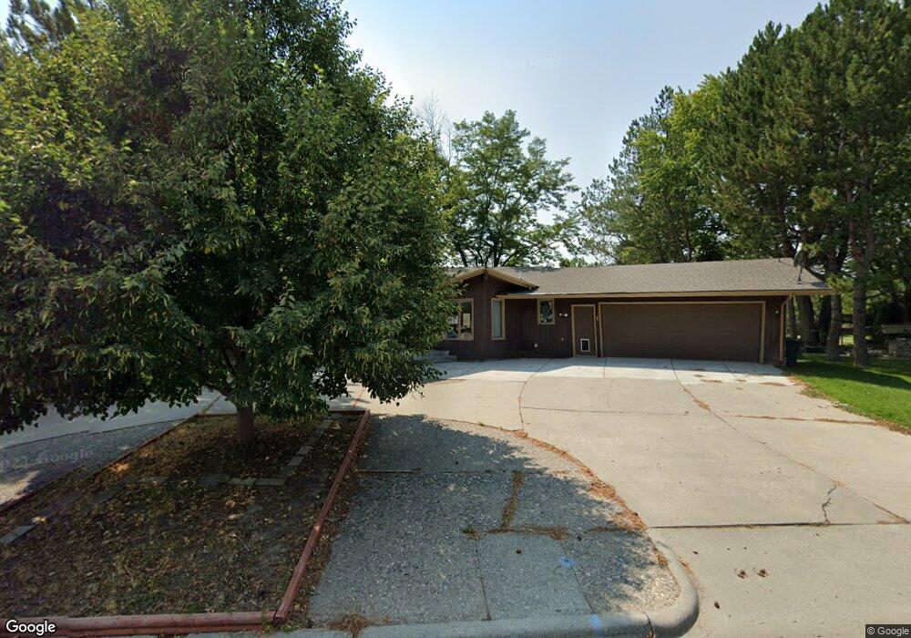
5934 Sam Snead Trail Billings, MT 59106
West Shiloh NeighborhoodEstimated Value: $570,714 - $627,000
2
Beds
3
Baths
3,910
Sq Ft
$152/Sq Ft
Est. Value
About This Home
This home is located at 5934 Sam Snead Trail, Billings, MT 59106 and is currently estimated at $594,679, approximately $152 per square foot. 5934 Sam Snead Trail is a home located in Yellowstone County with nearby schools including Arrowhead School, Ben Steele Middle School, and Billings West High School.
Ownership History
Date
Name
Owned For
Owner Type
Purchase Details
Closed on
Oct 8, 2021
Sold by
Knight George and Knight Crystal
Bought by
Galloglass Holdings Llc
Current Estimated Value
Purchase Details
Closed on
Nov 24, 2020
Sold by
Roddy David J
Bought by
Knight George and Knight Crystal
Home Financials for this Owner
Home Financials are based on the most recent Mortgage that was taken out on this home.
Original Mortgage
$320,000
Interest Rate
2.8%
Mortgage Type
New Conventional
Purchase Details
Closed on
Mar 1, 2016
Sold by
Hanstrom Mary Elizabeth
Bought by
Roddy David J
Create a Home Valuation Report for This Property
The Home Valuation Report is an in-depth analysis detailing your home's value as well as a comparison with similar homes in the area
Home Values in the Area
Average Home Value in this Area
Purchase History
| Date | Buyer | Sale Price | Title Company |
|---|---|---|---|
| Galloglass Holdings Llc | -- | None Available | |
| Knight George | -- | Chicago Title | |
| Roddy David J | -- | Accommodation |
Source: Public Records
Mortgage History
| Date | Status | Borrower | Loan Amount |
|---|---|---|---|
| Previous Owner | Knight George | $320,000 |
Source: Public Records
Tax History Compared to Growth
Tax History
| Year | Tax Paid | Tax Assessment Tax Assessment Total Assessment is a certain percentage of the fair market value that is determined by local assessors to be the total taxable value of land and additions on the property. | Land | Improvement |
|---|---|---|---|---|
| 2025 | $4,635 | $520,000 | $93,688 | $426,312 |
| 2024 | $4,635 | $460,400 | $87,866 | $372,534 |
| 2023 | $4,618 | $460,400 | $87,866 | $372,534 |
| 2022 | $4,250 | $371,600 | $0 | $0 |
| 2021 | $4,009 | $371,600 | $0 | $0 |
| 2020 | $3,938 | $349,600 | $0 | $0 |
| 2019 | $3,762 | $349,600 | $0 | $0 |
| 2018 | $3,887 | $356,700 | $0 | $0 |
| 2017 | $3,302 | $356,700 | $0 | $0 |
| 2016 | $3,793 | $364,200 | $0 | $0 |
| 2015 | $4,835 | $454,900 | $0 | $0 |
| 2014 | $4,022 | $195,782 | $0 | $0 |
Source: Public Records
Map
Nearby Homes
- 6116 Sam Snead Trail
- 3671 Spalding Ave
- 5810 Sam Snead Trail
- 6020 Hazelwood Dr
- 5625 Walter Hagen Dr
- 3980 Trailwood Dr
- 3230 Ben Hogan Ln
- 3965 Woodcreek Dr
- 3976 Woodcreek Dr
- 6253 Ironwood Dr
- 3127 Falcon Cir
- 3035 Arnold Palmer Dr
- 4703 Laila
- Lot 34 Aspenridge Dr
- 5432 Billy Casper Dr
- 6061 Canyonwoods Dr
- 4232 Rosewood Dr
- 4224 Arrowwood Dr
- 4216 Arrowwood Dr
- 5522 Bobby Jones Blvd
- 5944 Sam Snead Trail
- 5933 Sam Snead Trail
- 5943 Sam Snead Trail
- 6006 Sam Snead Trail
- 5916 Sam Snead Trail
- 5925 Sam Snead Trail
- 6005 Sam Snead Trail
- 0 Sam Snead Trail
- 00 Sam Snead Trail
- 6016 Sam Snead Trail
- 5915 Sam Snead Trail
- 5906 Sam Snead Trail
- 6013 Sam Snead Trail
- 6028 Sam Snead Trail
- 5905 Sam Snead Trail
- 6023 Sam Snead Trail
- 6030 Sam Snead Trail
- 6033 Sam Snead Trail
- 5864 Sam Snead Trail
- 6043 Sam Snead Trail