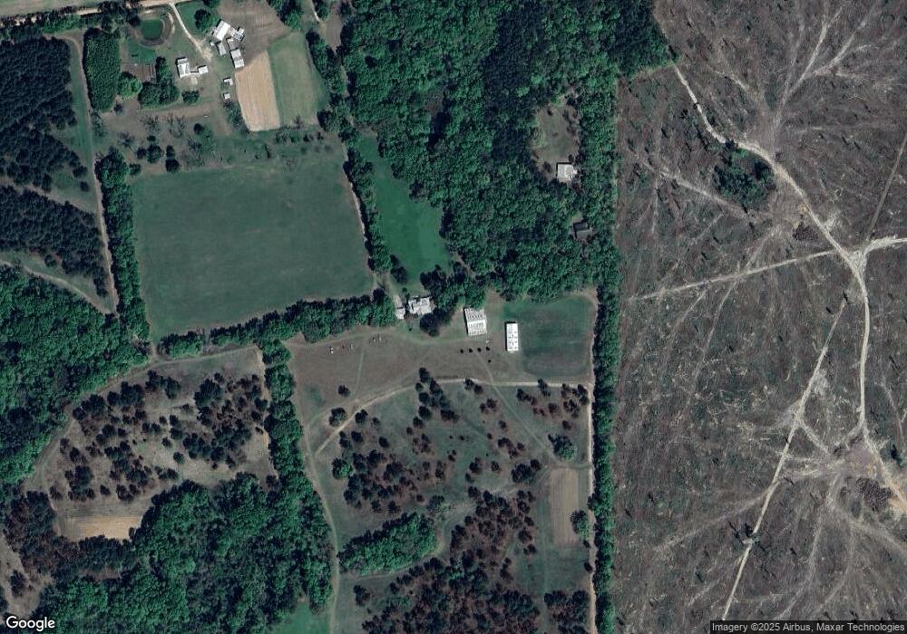
5935 Dewey Rd Quitman, GA 31643
Estimated Value: $235,000 - $2,174,162
--
Bed
--
Bath
1,668
Sq Ft
$722/Sq Ft
Est. Value
About This Home
This home is located at 5935 Dewey Rd, Quitman, GA 31643 and is currently estimated at $1,204,581, approximately $722 per square foot. 5935 Dewey Rd is a home with nearby schools including Quitman Elementary School.
Ownership History
Date
Name
Owned For
Owner Type
Purchase Details
Closed on
Apr 7, 2015
Sold by
Grimes Colin D As Trustee
Bought by
Conservation Use Covenant Recording
Current Estimated Value
Purchase Details
Closed on
Mar 21, 2014
Sold by
Grimes Colin D
Bought by
Grimes Colin D
Purchase Details
Closed on
Jun 14, 2013
Sold by
Grimes Colin D and Grimes Deborah
Bought by
Conservation Use Covenant Recording
Purchase Details
Closed on
Jan 19, 1990
Sold by
Dewey Lillian W and Baker Eliz
Bought by
Grimes Colin D and Grimes Deborah
Purchase Details
Closed on
Jan 4, 1990
Sold by
F and H
Bought by
Dewey Lillian W and Baker Elizabeth
Purchase Details
Closed on
Feb 22, 1988
Sold by
Dewey Mrs H M
Bought by
F and H
Create a Home Valuation Report for This Property
The Home Valuation Report is an in-depth analysis detailing your home's value as well as a comparison with similar homes in the area
Home Values in the Area
Average Home Value in this Area
Purchase History
| Date | Buyer | Sale Price | Title Company |
|---|---|---|---|
| Conservation Use Covenant Recording | -- | -- | |
| Grimes Colin D | -- | -- | |
| Conservation Use Covenant Recording | -- | -- | |
| Grimes Colin D | $200,000 | -- | |
| Dewey Lillian W | -- | -- | |
| F | -- | -- |
Source: Public Records
Tax History Compared to Growth
Tax History
| Year | Tax Paid | Tax Assessment Tax Assessment Total Assessment is a certain percentage of the fair market value that is determined by local assessors to be the total taxable value of land and additions on the property. | Land | Improvement |
|---|---|---|---|---|
| 2025 | $6,725 | $797,696 | $689,600 | $108,096 |
| 2024 | $6,725 | $797,696 | $689,600 | $108,096 |
| 2023 | $6,335 | $706,460 | $609,480 | $96,980 |
| 2022 | $6,530 | $667,620 | $580,440 | $87,180 |
| 2021 | $6,175 | $569,140 | $491,880 | $77,260 |
| 2020 | $15,928 | $573,540 | $496,920 | $76,620 |
| 2019 | $5,816 | $547,060 | $473,080 | $73,980 |
| 2018 | $15,349 | $525,540 | $451,560 | $73,980 |
| 2017 | $5,662 | $522,900 | $451,560 | $71,340 |
| 2016 | $5,569 | $522,900 | $451,560 | $71,340 |
| 2015 | -- | $522,300 | $451,560 | $70,740 |
| 2014 | -- | $525,380 | $451,560 | $73,820 |
| 2013 | -- | $525,380 | $451,560 | $73,820 |
Source: Public Records
Map
Nearby Homes
- 5036 Hamlin Rd
- 639 Saint Phillips Church Rd
- 7747 Empress Rd
- 1306 E Screven St
- 84 W Us
- 000 E Gordon St
- 903 W Hill St
- 804 Westlake Dr
- 309 Eastlake Dr
- 606 N Court St
- 802 W Lafayette St
- 621 N Court St
- 1540 Dunn Rd
- 304 W Rountree St
- 602 N Webster St
- 714 Morris Ave
- 1002 N Madison St
- 2434 Dunn Rd
- 103 Victorian Way
- 5860 Nichols Ln
- 6045 Dewey Rd
- 5731 Dewey Rd
- 6538 Old Madison Rd
- 478 Settlers Trail
- 6518 Old Madison Rd
- 00 Dale Dr
- 6424 Old Madison Rd
- 6158 Old Madison Rd
- 6586 Old Madison Rd
- 6459 Old Madison Rd
- 6054 Old Madison Rd
- 6058 Old Madison Rd
- 0 Old Madison Rd
- 6625 Dewey Rd
- 6315 Old Madison Rd
- 6541 Old Madison Rd
- 6681 Dewey Rd
- 6181 Old Madison Rd
- 6085 Old Madison Rd
- 6115 Old Madison Rd
