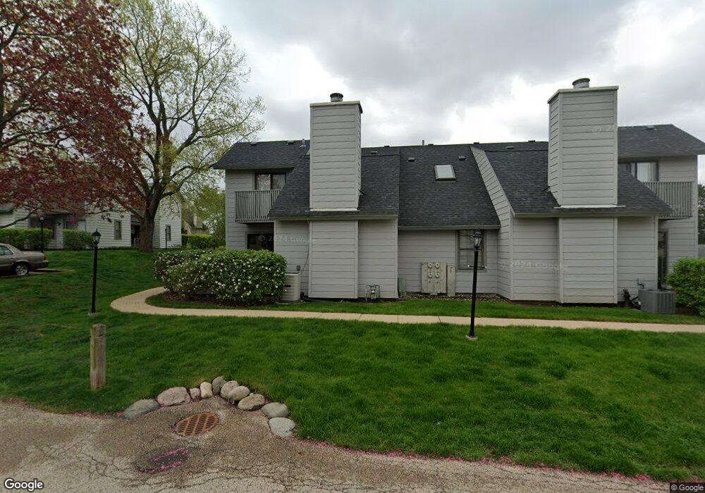
594 Dunham Rd Unit U301 Gurnee, IL 60031
Estimated Value: $178,000 - $210,000
1
Bed
2
Baths
956
Sq Ft
$200/Sq Ft
Est. Value
About This Home
This home is located at 594 Dunham Rd Unit U301, Gurnee, IL 60031 and is currently estimated at $190,851, approximately $199 per square foot. 594 Dunham Rd Unit U301 is a home located in Lake County with nearby schools including Woodland Primary School, Woodland Elementary School, and Woodland Intermediate School.
Ownership History
Date
Name
Owned For
Owner Type
Purchase Details
Closed on
Jan 12, 1995
Sold by
Paul Deborah A
Bought by
Sneed Darrell F
Current Estimated Value
Home Financials for this Owner
Home Financials are based on the most recent Mortgage that was taken out on this home.
Original Mortgage
$54,000
Interest Rate
9.28%
Create a Home Valuation Report for This Property
The Home Valuation Report is an in-depth analysis detailing your home's value as well as a comparison with similar homes in the area
Home Values in the Area
Average Home Value in this Area
Purchase History
| Date | Buyer | Sale Price | Title Company |
|---|---|---|---|
| Sneed Darrell F | $7,500 | -- |
Source: Public Records
Mortgage History
| Date | Status | Borrower | Loan Amount |
|---|---|---|---|
| Closed | Sneed Darrell F | $54,000 |
Source: Public Records
Tax History Compared to Growth
Tax History
| Year | Tax Paid | Tax Assessment Tax Assessment Total Assessment is a certain percentage of the fair market value that is determined by local assessors to be the total taxable value of land and additions on the property. | Land | Improvement |
|---|---|---|---|---|
| 2024 | $3,022 | $41,735 | $8,185 | $33,550 |
| 2023 | $3,022 | $38,747 | $7,599 | $31,148 |
| 2022 | $2,696 | $33,654 | $5,929 | $27,725 |
| 2021 | $2,252 | $30,475 | $5,369 | $25,106 |
| 2020 | $2,169 | $29,726 | $5,237 | $24,489 |
| 2019 | $2,100 | $28,863 | $5,085 | $23,778 |
| 2018 | $1,176 | $19,074 | $2,240 | $16,834 |
| 2017 | $1,156 | $18,528 | $2,176 | $16,352 |
| 2016 | $1,125 | $17,703 | $2,079 | $15,624 |
| 2015 | $1,069 | $16,790 | $1,972 | $14,818 |
| 2014 | $1,166 | $17,810 | $1,945 | $15,865 |
| 2012 | $2,498 | $17,947 | $1,960 | $15,987 |
Source: Public Records
Map
Nearby Homes
- 650 Whitney Ct Unit 203
- 650 Whitney Ct Unit 108
- 690 Chandler Rd Unit 302
- 690 Chandler Rd Unit 207
- 651 White Ct
- 740 Chandler Rd Unit U85
- 761 Creekside Cir Unit 93
- 6296 Doral Dr
- 920 Vose Dr Unit 202
- 920 Vose Dr Unit 106
- 920 Vose Dr Unit 208
- 706 Owl Creek Ln
- 6183 Old Farm Ln Unit 3
- 6091 Washington St
- 17150 Washington St
- 34026 N White Oak Ln Unit 48C
- 17298 W Maple Ln
- 17438 W Walnut Ln Unit 2F
- 17404 W Walnut Ln Unit 2C
- 34110 N White Oak Ln Unit 37B
- 596 Dunham Rd Unit U299
- 588 Dunham Rd
- 590 Dunham Rd Unit U298
- 598 Dunham Rd Unit U297
- 602 Dunham Rd Unit U310
- 600 Dunham Rd Unit U295
- 600 Dunham Rd Unit 600
- 583 Dunham Rd Unit U308
- 595 Dunham Rd Unit 319
- 604 Dunham Rd Unit U309
- 593 Dunham Rd
- 585 Dunham Rd
- 597 Dunham Rd Unit U320
- 587 Dunham Rd
- 591 Dunham Rd Unit U313
- 589 Dunham Rd Unit U312
- 599 Dunham Rd
- 601 Dunham Rd
- 581 Dunham Rd Unit U306
- 606 Dunham Rd Unit U318