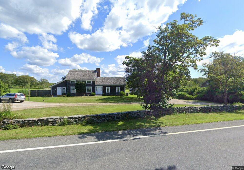
594 W Main Rd Little Compton, RI 02837
Estimated Value: $2,093,000 - $2,450,000
5
Beds
4
Baths
3,064
Sq Ft
$740/Sq Ft
Est. Value
About This Home
This home is located at 594 W Main Rd, Little Compton, RI 02837 and is currently estimated at $2,266,584, approximately $739 per square foot. 594 W Main Rd is a home located in Newport County with nearby schools including Wilbur & McMahon School.
Ownership History
Date
Name
Owned For
Owner Type
Purchase Details
Closed on
Jan 25, 2022
Sold by
Taggart Rush and Taggart Alison B
Bought by
Taggart Rush
Current Estimated Value
Purchase Details
Closed on
Nov 1, 2021
Sold by
Dorothy H Osborn Ret
Bought by
Taggart Rush and Barber-Taggart Alison
Purchase Details
Closed on
Apr 30, 2010
Sold by
Osborn Dorothy H
Bought by
Osborn Dorothy H
Purchase Details
Closed on
Feb 3, 2010
Sold by
Taggart Stewart
Bought by
Osborn Dorothy H
Create a Home Valuation Report for This Property
The Home Valuation Report is an in-depth analysis detailing your home's value as well as a comparison with similar homes in the area
Home Values in the Area
Average Home Value in this Area
Purchase History
| Date | Buyer | Sale Price | Title Company |
|---|---|---|---|
| Taggart Rush | $956,755 | None Available | |
| Taggart Rush | -- | None Available | |
| Osborn Dorothy H | -- | -- | |
| Osborn Dorothy H | $686,500 | -- |
Source: Public Records
Tax History Compared to Growth
Tax History
| Year | Tax Paid | Tax Assessment Tax Assessment Total Assessment is a certain percentage of the fair market value that is determined by local assessors to be the total taxable value of land and additions on the property. | Land | Improvement |
|---|---|---|---|---|
| 2025 | $8,204 | $1,712,700 | $724,000 | $988,700 |
| 2024 | $7,114 | $1,400,400 | $333,600 | $1,066,800 |
| 2023 | $6,946 | $1,400,400 | $333,600 | $1,066,800 |
| 2022 | $6,571 | $1,341,100 | $333,600 | $1,007,500 |
| 2021 | $5,476 | $906,600 | $290,900 | $615,700 |
| 2020 | $4,434 | $740,300 | $290,900 | $449,400 |
| 2019 | $4,390 | $740,300 | $290,900 | $449,400 |
| 2018 | $4,568 | $766,500 | $290,900 | $475,600 |
| 2016 | $4,346 | $766,500 | $290,900 | $475,600 |
| 2015 | $4,319 | $751,200 | $265,000 | $486,200 |
| 2014 | $4,237 | $751,200 | $265,000 | $486,200 |
Source: Public Records
Map
Nearby Homes
- 536 W Main Rd
- 141 S Of Commons Rd
- 441 W Main Rd
- 128 Maple Ave
- 18 Old Barn Rd
- 0 Willow Ave
- 180 W Main Rd
- 17 Ferolbink Way
- 505 Long Hwy
- 155 W Main Rd
- 515 Indian Ave
- 189 Brayton Point Rd
- 78 Cornelius Dr
- 304 Brayton Point Rd
- 255 John Dyer Rd
- 6 June Way
- 62 Howland Ave
- 10 Bartlett Rd
- 180 Cottontail Dr
- 55 W Main Rd