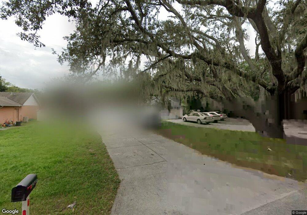
5940 Carter St Orlando, FL 32835
MetroWest NeighborhoodEstimated Value: $282,000 - $321,000
3
Beds
2
Baths
1,308
Sq Ft
$236/Sq Ft
Est. Value
About This Home
This home is located at 5940 Carter St, Orlando, FL 32835 and is currently estimated at $308,216, approximately $235 per square foot. 5940 Carter St is a home located in Orange County with nearby schools including Oak Hill Elementary, Chain of Lakes Middle School, and Olympia High.
Ownership History
Date
Name
Owned For
Owner Type
Purchase Details
Closed on
Feb 21, 2025
Sold by
Sukhram Rudranauth
Bought by
Daryog2 Llc
Current Estimated Value
Purchase Details
Closed on
Dec 29, 2003
Sold by
Hammou Radouane Ben
Bought by
Sukhram Rudranauth
Home Financials for this Owner
Home Financials are based on the most recent Mortgage that was taken out on this home.
Original Mortgage
$103,200
Interest Rate
5.82%
Mortgage Type
Purchase Money Mortgage
Purchase Details
Closed on
Jan 30, 2001
Sold by
Brigmond Perry L and Brigmond Debra L
Bought by
Hammou Radouane B
Home Financials for this Owner
Home Financials are based on the most recent Mortgage that was taken out on this home.
Original Mortgage
$66,500
Interest Rate
7.44%
Mortgage Type
Credit Line Revolving
Purchase Details
Closed on
Oct 5, 1999
Sold by
Karst Lloyd L
Bought by
Brigmond Bobby J
Create a Home Valuation Report for This Property
The Home Valuation Report is an in-depth analysis detailing your home's value as well as a comparison with similar homes in the area
Home Values in the Area
Average Home Value in this Area
Purchase History
| Date | Buyer | Sale Price | Title Company |
|---|---|---|---|
| Daryog2 Llc | $100 | None Listed On Document | |
| Sukhram Rudranauth | $129,000 | Landamerica Gulfatlantic Tit | |
| Hammou Radouane B | $95,000 | -- | |
| Brigmond Bobby J | $20,000 | -- |
Source: Public Records
Mortgage History
| Date | Status | Borrower | Loan Amount |
|---|---|---|---|
| Previous Owner | Sukhram Rudranauth | $103,200 | |
| Previous Owner | Brigmond Bobby J | $66,500 |
Source: Public Records
Tax History Compared to Growth
Tax History
| Year | Tax Paid | Tax Assessment Tax Assessment Total Assessment is a certain percentage of the fair market value that is determined by local assessors to be the total taxable value of land and additions on the property. | Land | Improvement |
|---|---|---|---|---|
| 2025 | $3,605 | $260,920 | $60,000 | $200,920 |
| 2024 | $3,212 | $191,666 | -- | -- |
| 2023 | $3,212 | $232,147 | $55,000 | $177,147 |
| 2022 | $2,749 | $183,336 | $34,500 | $148,836 |
| 2021 | $2,444 | $149,282 | $31,000 | $118,282 |
| 2020 | $2,223 | $144,237 | $25,000 | $119,237 |
| 2019 | $2,353 | $160,092 | $39,900 | $120,192 |
| 2018 | $2,024 | $122,946 | $13,000 | $109,946 |
| 2017 | $1,816 | $104,343 | $8,000 | $96,343 |
| 2016 | $1,703 | $97,265 | $6,000 | $91,265 |
| 2015 | $1,623 | $90,776 | $6,000 | $84,776 |
| 2014 | $1,458 | $71,552 | $6,000 | $65,552 |
Source: Public Records
Map
Nearby Homes
- 6017 Westgate Dr Unit 924
- 5953 Westgate Dr Unit 1823
- 6052 Westgate Dr Unit 102
- 6070 Westgate Dr Unit 204
- 5956 Westgate Dr Unit 203
- 410 S Hudson St
- 402 S Hudson St
- 6040 Westgate Dr Unit 202
- 5968 Westgate Dr Unit 101
- 6059 Westgate Dr Unit 433
- 6028 Westgate Dr Unit 203
- 6082 Westgate Dr Unit 204
- 6088 Westgate Dr Unit 203
- 6088 Westgate Dr Unit 201
- 6071 Westgate Dr Unit 321
- 6106 Westgate Dr Unit 102
- 6016 Westgate Dr Unit 301
- 6004 Westgate Dr Unit 301
- 6142 Westgate Dr Unit 204
- 6142 Westgate Dr Unit 301
- 5936 Carter St
- 5932 Carter St
- 5971 Westgate Dr Unit 110
- 5971 Westgate Dr Unit 1213
- 5971 Westgate Dr Unit 1212
- 5971 Westgate Dr Unit 1211
- 5971 Westgate Dr Unit 1224
- 5971 Westgate Dr Unit 1223
- 5971 Westgate Dr Unit 1222
- 5971 Westgate Dr Unit 1221
- 5971 Westgate Dr Unit 1214
- 5971 Westgate Dr Unit 230
- 5971 Boulevard
- 5967 Westgate Dr Unit 220
- 5967 Westgate Dr Unit 1322
- 5967 Westgate Dr Unit 1321
- 5967 Westgate Dr Unit 1323
- 5943 Rosette St
- 5928 Carter St
- 5937 Rosette St