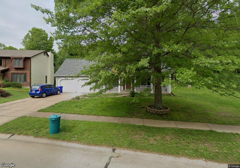
595 McBride Pointe Dr Ballwin, MO 63011
Estimated Value: $456,719 - $591,000
3
Beds
3
Baths
2,294
Sq Ft
$228/Sq Ft
Est. Value
About This Home
This home is located at 595 McBride Pointe Dr, Ballwin, MO 63011 and is currently estimated at $522,930, approximately $227 per square foot. 595 McBride Pointe Dr is a home located in St. Louis County with nearby schools including Babler Elementary School, Rockwood Valley Middle School, and Lafayette High School.
Ownership History
Date
Name
Owned For
Owner Type
Purchase Details
Closed on
Dec 30, 1998
Sold by
Lutterman Steven M and Lutterman Carrie M
Bought by
Wilson Daniel J and Wilson Susan K
Current Estimated Value
Home Financials for this Owner
Home Financials are based on the most recent Mortgage that was taken out on this home.
Original Mortgage
$120,000
Outstanding Balance
$27,164
Interest Rate
6.74%
Estimated Equity
$495,766
Create a Home Valuation Report for This Property
The Home Valuation Report is an in-depth analysis detailing your home's value as well as a comparison with similar homes in the area
Home Values in the Area
Average Home Value in this Area
Purchase History
| Date | Buyer | Sale Price | Title Company |
|---|---|---|---|
| Wilson Daniel J | $220,000 | -- |
Source: Public Records
Mortgage History
| Date | Status | Borrower | Loan Amount |
|---|---|---|---|
| Open | Wilson Daniel J | $120,000 |
Source: Public Records
Tax History
| Year | Tax Paid | Tax Assessment Tax Assessment Total Assessment is a certain percentage of the fair market value that is determined by local assessors to be the total taxable value of land and additions on the property. | Land | Improvement |
|---|---|---|---|---|
| 2025 | $5,240 | $74,650 | $28,500 | $46,150 |
| 2024 | $5,240 | $75,360 | $24,190 | $51,170 |
| 2023 | $5,236 | $75,360 | $24,190 | $51,170 |
| 2022 | $4,440 | $59,360 | $15,850 | $43,510 |
| 2021 | $4,408 | $59,360 | $15,850 | $43,510 |
| 2020 | $4,559 | $58,540 | $15,600 | $42,940 |
| 2019 | $4,577 | $58,540 | $15,600 | $42,940 |
| 2018 | $4,818 | $58,100 | $15,600 | $42,500 |
| 2017 | $4,703 | $58,100 | $15,600 | $42,500 |
| 2016 | $4,156 | $49,380 | $15,600 | $33,780 |
Source: Public Records
Map
Nearby Homes
- 583 McBride Pointe Dr
- 1839 Sullivan Pointe Dr
- 18024 Cider Mill Dr
- 16403 Prestwick Place Ln
- 2470 Indian Tree Cir
- 16404 Clayton Rd
- 2112 Wildwood Meadows Ct
- 16354 Clayton Rd
- 16342 Clayton Rd
- 1504 Englebrook Dr
- 1909 Shepard Rd
- 2140 Dartmouth Gate Ct
- 17662 Garden Ridge Cir
- 1670 Timber Ridge Estates Dr
- 215 Cobblefield Ct
- 1529 Garden Valley Dr
- 1605 Ridge Bend Dr
- 2209 Ridgley Woods Dr
- 17824 Valley View Ln
- 1525 Virginia Dr
- 591 McBride Pointe Dr
- 599 McBride Pointe Dr
- 590 McBride Pointe Dr
- 1860 Sullivan Pointe Dr
- 2432 Indian Tree Run
- 600 McBride Pointe Dr
- 603 McBride Pointe Dr
- 579 McBride Pointe Dr
- 574 McBride Pointe Dr
- 1856 Sullivan Pointe Dr
- 2428 Indian Tree Run
- 604 McBride Pointe Dr
- 1855 Sullivan Pointe Dr
- 570 McBride Pointe Dr
- 1852 Sullivan Pointe Dr
- 608 McBride Pointe Dr
- 571 McBride Pointe Dr
- 1847 Sullivan Pointe Dr
- 566 McBride Pointe Dr
- 611 McBride Pointe Dr
Your Personal Tour Guide
Ask me questions while you tour the home.