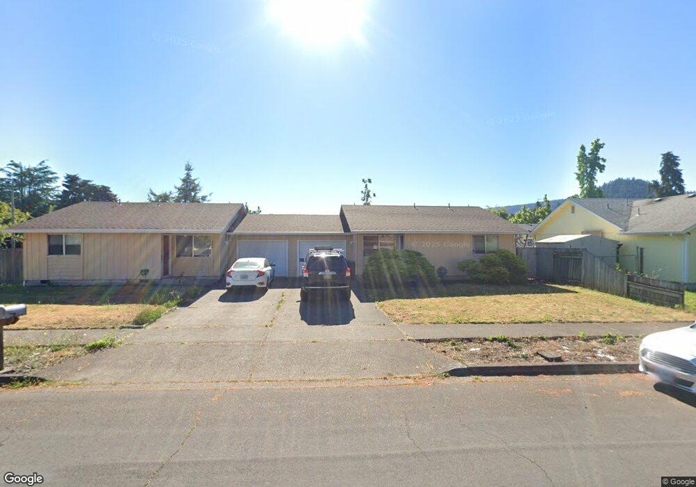
597 56th St Unit 1 Springfield, OR 97478
Thurston NeighborhoodEstimated Value: $429,628 - $476,000
4
Beds
2
Baths
1,784
Sq Ft
$256/Sq Ft
Est. Value
About This Home
This home is located at 597 56th St Unit 1, Springfield, OR 97478 and is currently estimated at $456,657, approximately $255 per square foot. 597 56th St Unit 1 is a home located in Lane County with nearby schools including Ridgeview Elementary School, Thurston Middle School, and Thurston High School.
Ownership History
Date
Name
Owned For
Owner Type
Purchase Details
Closed on
Jun 7, 2024
Sold by
Green Harolds Llc
Bought by
Wilson Family Trust and Wilson
Current Estimated Value
Purchase Details
Closed on
Jul 28, 2022
Sold by
Rook Jeffrey L
Bought by
Green Harolds Llc
Purchase Details
Closed on
Oct 16, 2018
Sold by
Snyder Darrel R and The Snyder Joint Trust
Bought by
Rock Jeffrey L and Rock Wendianne
Home Financials for this Owner
Home Financials are based on the most recent Mortgage that was taken out on this home.
Original Mortgage
$201,750
Interest Rate
4.5%
Mortgage Type
New Conventional
Purchase Details
Closed on
Sep 8, 2010
Sold by
Snyder Darrel R and Snyder Annabell
Bought by
Snyder Darrel R and Snyder Annabell
Create a Home Valuation Report for This Property
The Home Valuation Report is an in-depth analysis detailing your home's value as well as a comparison with similar homes in the area
Home Values in the Area
Average Home Value in this Area
Purchase History
| Date | Buyer | Sale Price | Title Company |
|---|---|---|---|
| Wilson Family Trust | $455,000 | Western Title | |
| Green Harolds Llc | -- | Accommodation/Courtesy Recordi | |
| Rock Jeffrey L | $269,000 | First American Title | |
| Snyder Darrel R | -- | Evergreen Land Title Company |
Source: Public Records
Mortgage History
| Date | Status | Borrower | Loan Amount |
|---|---|---|---|
| Previous Owner | Rock Jeffrey L | $201,750 |
Source: Public Records
Tax History
| Year | Tax Paid | Tax Assessment Tax Assessment Total Assessment is a certain percentage of the fair market value that is determined by local assessors to be the total taxable value of land and additions on the property. | Land | Improvement |
|---|---|---|---|---|
| 2025 | $3,844 | $209,615 | -- | -- |
| 2024 | $3,782 | $203,510 | -- | -- |
| 2023 | $3,782 | $197,583 | $0 | $0 |
| 2022 | $3,502 | $191,829 | $0 | $0 |
| 2021 | $3,440 | $186,242 | $0 | $0 |
| 2020 | $3,339 | $180,818 | $0 | $0 |
| 2019 | $3,239 | $175,552 | $0 | $0 |
| 2018 | $3,053 | $165,475 | $0 | $0 |
| 2017 | $2,936 | $165,475 | $0 | $0 |
| 2016 | $2,874 | $160,655 | $0 | $0 |
| 2015 | $2,792 | $155,976 | $0 | $0 |
| 2014 | $2,750 | $151,433 | $0 | $0 |
Source: Public Records
Map
Nearby Homes
- 5524 E St
- 676 58th St
- 5570 B St
- 5736 A St
- 733 54th St
- 775 54th St
- 340 54th St
- 5495 A Units 69 70 71 72 St
- 205 S 54th St
- 205 S 54th (#11) St Unit 11
- 5995 Main St
- 421 S 58th St
- 5335 Main St Unit 236
- 5335 Main St
- 5335 Main St Unit 184
- 5335 Main St Unit 197
- 5335 Main St Unit 7
- 5335 Main St Unit 154
- 5335 Main St Unit 187
- 6445 B St
Your Personal Tour Guide
Ask me questions while you tour the home.